
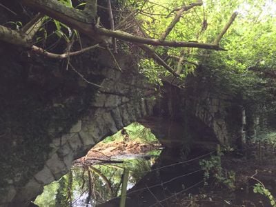
Roman Bridge, brug in Verenigd Koninkrijk
Locatie: London Borough of Hounslow
GPS-coördinaten: 51.49860,-0.35320
Laatste update: 2 maart 2025 om 23:53
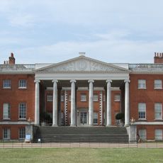
Osterley Park
1 km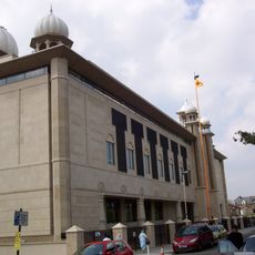
Gurdwara Sri Guru Singh Sabha
1.9 km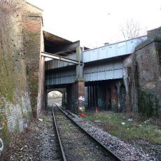
Windmill Bridge
664 m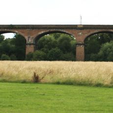
Wharncliffe Viaduct
1.5 km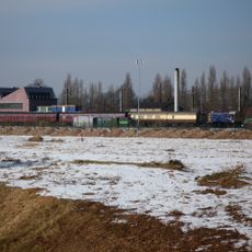
Southall Railway Centre
1.5 km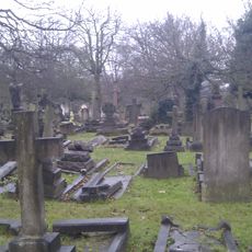
City of Westminster Cemetery, Hanwell
1.8 km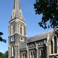
St. Mary's Church, Hanwell
1.7 km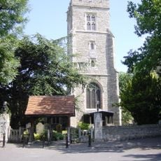
St Leonard's Church, Heston
2 km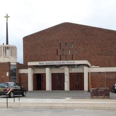
St Anselm's Church, Southall
2 km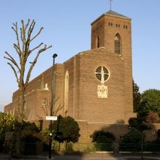
Church of St Thomas the Apostle
1.6 km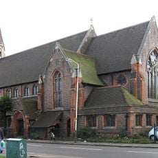
Church of St Mellitus
1.7 km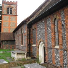
Church of St Mary
999 m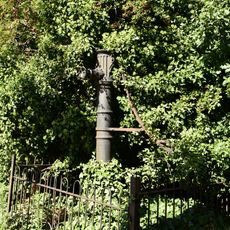
Water Pump (On The South Side Of West Middlesex Golf Course, Nearly Opposite Lyndhurst Avenue)
1.5 km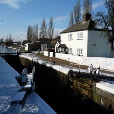
Walls, Gates, Sluices And Bridge At Lock (90)
774 m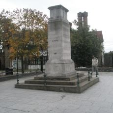
Southall War Memorial
2 km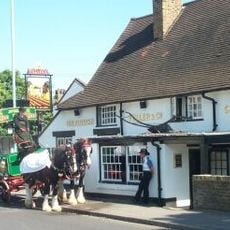
The Plough Public House
968 m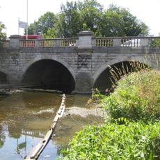
Hanwell Bridge
1.3 km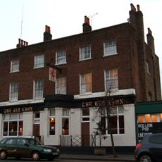
Red Lion Public House
1.8 km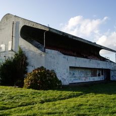
Pavilion And Clubhouse
1.9 km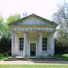
The Temple In Osterley Park
927 m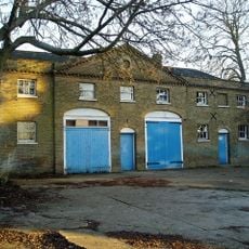
Stable Block At Brent Lodge Park
1.7 km
Former Norwood Free School
937 m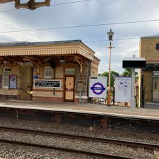
Main Up Side Building and Downside Island Platform at Hanwell Station
1.8 km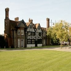
Southall Manor House
2 km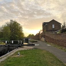
Hanwell flight of locks and brick boundary wall of St Bernard's Hospital
784 m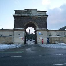
Entrance Archway And 2 Lodges, (One Each Side Of Entrance) To St Bernard's Hospital
1.2 km
Osterley House Stables
927 m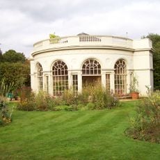
Aviary or Little Orangerey in Osterley Park
875 mHeeft u deze plek bezocht? Tik op de sterren om een beoordeling te geven en uw ervaring of foto's te delen met de community! Probeer het nu! U kunt het op elk moment annuleren.
Ontdek verborgen schatten op elk avontuur!
Van karakteristieke kleine cafeetjes tot geheime uitzichtpunten – ontvlucht de drukte en vind plekken die echt bij jou passen. Onze app maakt het makkelijk: spraakzoekopdrachten, slimme filters, geoptimaliseerde routes en authentieke tips van reizigers wereldwijd. Download nu en beleef het avontuur op je smartphone!

Een nieuwe benadering van toeristische ontdekking❞
— Le Figaro
Alle plekken die de moeite waard zijn om te ontdekken❞
— France Info
Een uitstapje op maat in slechts een paar klikken❞
— 20 Minutes