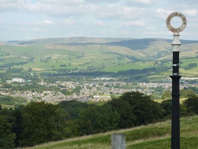
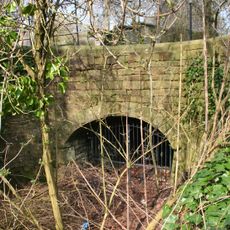
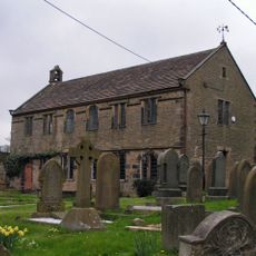
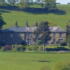
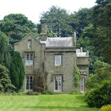
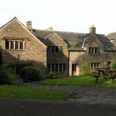
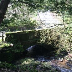
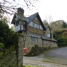
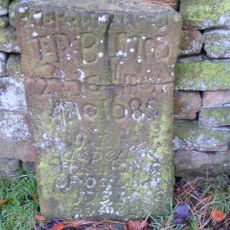
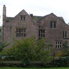
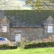
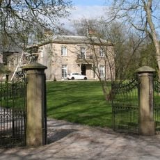
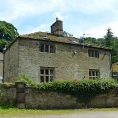
Chapel-en-le-Frith, plaats in Derbyshire
Locatie: High Peak
Grenst aan: Chinley, Buxworth and Brownside, Whaley Bridge, Hartington Upper Quarter, Buxton, Wormhill, Peak Forest, Edale
Website: http://chapel-en-le-frithparishcouncil.gov.uk
GPS-coördinaten: 53.32200,-1.91700
Laatste update: 26 maart 2025 om 02:28
The Bull Ring
3.2 km
Chapel Milton Viaduct
1.2 km
Batham Gate
5 km
Stodhart Tunnel
1.1 km
Church of St Thomas of Canterbury
294 m
Chinley Independent Chapel
1.4 km
Townend Methodist Church
599 m
Ollerenshaw Hall
3 km
Bowden Hall
1.6 km
Old Hall Inn
2.3 km
The Royal Oak Inn
158 m
Ford Hall Bridge
2.6 km
Hollinknoll Gates And Gate Piers
1.1 km
Gate piers, railings and gates to south of Church of St Thomas Becket
261 m
Bank Hall Lodge
1.2 km
Tombstone at Friends Burial Ground 4.5 metres north of Chestnut Farmhouse
2.4 km
Bradshaw Hall
1.8 km
Bridge On Bank Hall Drive Adjacent To Down Lee Farm
1 km
Hollinknoll
1.1 km
Bank Hall
1.8 km
Bradshaw Hall Gateway
1.8 km
Trout Beck
2.5 km
Standing cross in the churchyard of St Thomas Becket Church
281 m
Hearse House
345 m
Barn Two Metres South West Of Martinside
1.6 km
Gautries Rake
4.4 km
White Hall gates, gate piers and railings
2.5 km
The Smithy
1.6 kmBeoordelingen
Heeft u deze plek bezocht? Tik op de sterren om een beoordeling te geven en uw ervaring of foto's te delen met de community! Probeer het nu! U kunt het op elk moment annuleren.
Ontdek verborgen schatten op elk avontuur!
Van karakteristieke kleine cafeetjes tot geheime uitzichtpunten – ontvlucht de drukte en vind plekken die echt bij jou passen. Onze app maakt het makkelijk: spraakzoekopdrachten, slimme filters, geoptimaliseerde routes en authentieke tips van reizigers wereldwijd. Download nu en beleef het avontuur op je smartphone!
Een nieuwe benadering van toeristische ontdekking❞
— Le Figaro
Alle plekken die de moeite waard zijn om te ontdekken❞
— France Info
Een uitstapje op maat in slechts een paar klikken❞
— 20 Minutes