
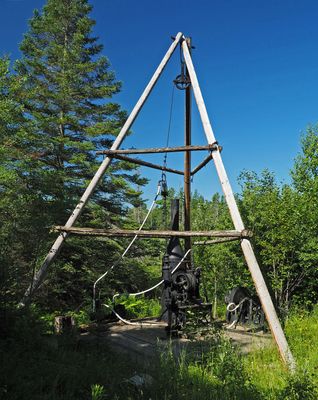
Longyear Drill Site, historic mineral exploration site in Hoyt Lakes, Minnesota, United States
Locatie: Hoyt Lakes
Adres: 6500 County Road 666
GPS-coördinaten: 47.55750,-92.11667
Laatste update: 23 september 2025 om 15:47

Thomas Rukavina Memorial Bridge
30.9 km
Lake Vermilion-Soudan Underground Mine State Park
30.9 km
Bear Head Lake State Park
26.7 km
Stuntz Bay Boathouse Historic District
31.2 km
B'nai Abraham Synagogue
31.8 km
Church of St. John the Baptist
31.7 km
Iron Range Historical Society
27.5 km
Alex Seitaniemi Housebarn
16.7 km
Hartley Building
15.6 km
Finnish Sauna
31.4 km
Virginia–Rainy Lake Lumber Company Office
31.7 km
Virginia City Hall
31.8 km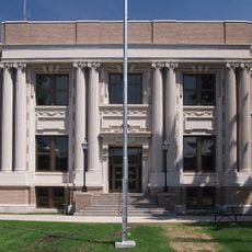
St. Louis County District Courthouse
31.9 km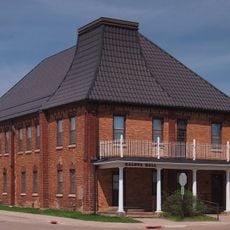
Kaleva Hall
31.5 km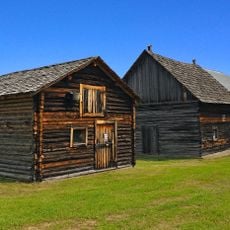
Anna and Mikko Pyhala Farm
12.8 km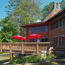
Camp Esquagama
19.6 km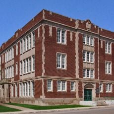
Lincoln School Building
31.6 km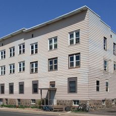
Jukola Boardinghouse
31.6 km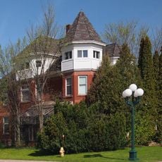
Charles Lenont House
32 km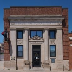
First National Bank of Gilbert
27.4 km
Coates House
32.1 km
Erick and Kristina Nelimark Sauna
13.1 km
LaSalle Apartments
31.9 km
Virginia Commercial Historic District
31.7 km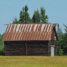
Waino Tanttari Field Hay Barn
17.4 km
W.T. Bailey House
32 km
United States Hockey Hall of Fame
32.4 km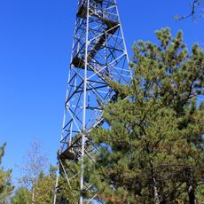
Jasper Peak Fire Tower
29.5 kmHeeft u deze plek bezocht? Tik op de sterren om een beoordeling te geven en uw ervaring of foto's te delen met de community! Probeer het nu! U kunt het op elk moment annuleren.
Ontdek verborgen schatten op elk avontuur!
Van karakteristieke kleine cafeetjes tot geheime uitzichtpunten – ontvlucht de drukte en vind plekken die echt bij jou passen. Onze app maakt het makkelijk: spraakzoekopdrachten, slimme filters, geoptimaliseerde routes en authentieke tips van reizigers wereldwijd. Download nu en beleef het avontuur op je smartphone!

Een nieuwe benadering van toeristische ontdekking❞
— Le Figaro
Alle plekken die de moeite waard zijn om te ontdekken❞
— France Info
Een uitstapje op maat in slechts een paar klikken❞
— 20 Minutes