
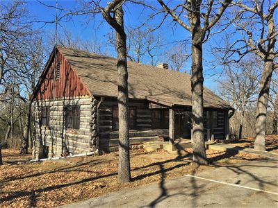
Lake of the Ozarks State Park Highway 134 Historic District
Lake of the Ozarks State Park Highway 134 Historic District
Locatie: Miller County
Architectuurstijl: National Park Service rustic
GPS-coördinaten: 38.12385,-92.56210
Laatste update: 10 maart 2025 om 16:52
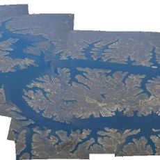
Lake of the Ozarks
10.4 km
Party Cove
8.6 km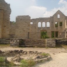
Ha Ha Tonka State Park
24.5 km
Uranus Missouri
51.8 km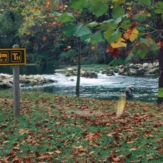
Bennett Spring State Park
52.2 km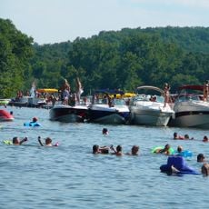
Lake of the Ozarks State Park
8.6 km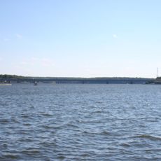
Grand Glaize Bridge
7.2 km
Bridal Cave
21.4 km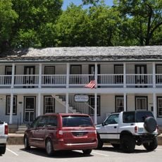
Old Stagecoach Stop
45.6 km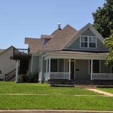
Ralph E. Burley House
50.3 km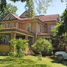
Wallace House
49.7 km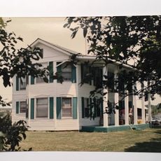
Calloway Manes Homestead
30.6 km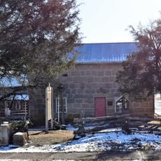
Maries County Jail and Sheriff's House
54.4 km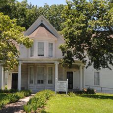
Ploger-Moneymaker Place
49.6 km
Fiery Fork Conservation Area
34.7 km
Zion Lutheran Church
53.2 km
Morgan County Courthouse
42.6 km
Finke Opera House
56.9 km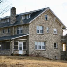
Moreau Park Historic District
57 km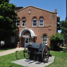
Pulaski County Courthouse
45.6 km
Gray-Wood Buildings
57.2 km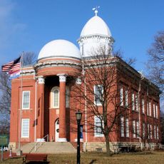
Moniteau County Courthouse Square
57.1 km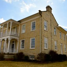
Lewis and Elizabeth Bolton House
49.8 km
Bennett Spring Dining Lodge
51.3 km
Camden County Historical Society
16.5 km
Uranus
51.8 km
Bennett Spring State Park Shelter House and Water Gauge Station
52.2 km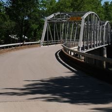
Devils Elbow Bridge
53.5 kmHeeft u deze plek bezocht? Tik op de sterren om een beoordeling te geven en uw ervaring of foto's te delen met de community! Probeer het nu! U kunt het op elk moment annuleren.
Ontdek verborgen schatten op elk avontuur!
Van karakteristieke kleine cafeetjes tot geheime uitzichtpunten – ontvlucht de drukte en vind plekken die echt bij jou passen. Onze app maakt het makkelijk: spraakzoekopdrachten, slimme filters, geoptimaliseerde routes en authentieke tips van reizigers wereldwijd. Download nu en beleef het avontuur op je smartphone!

Een nieuwe benadering van toeristische ontdekking❞
— Le Figaro
Alle plekken die de moeite waard zijn om te ontdekken❞
— France Info
Een uitstapje op maat in slechts een paar klikken❞
— 20 Minutes