
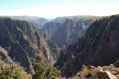
Black Canyon of the Gunnison, valley in Delta County, United States of America
Locatie: Gunnison County
Locatie: Montrose County
Locatie: Delta County
GPS-coördinaten: 38.78333,-107.83667
Laatste update: 10 maart 2025 om 17:49
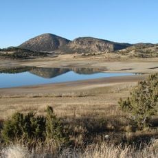
Crawford State Park
23.5 km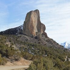
Needle Rock Natural Area
25.8 km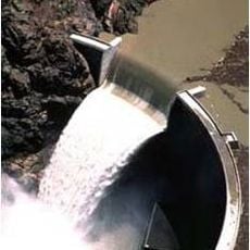
Crystal Dam
35.5 km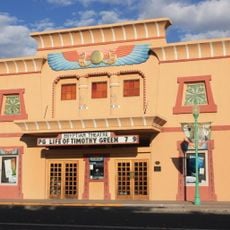
Egyptian Theatre
20.8 km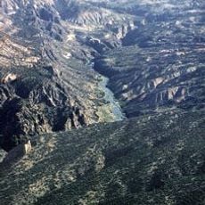
Gunnison Gorge National Conservation Area
9.7 km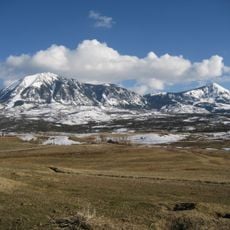
Mount Lamborn
27.3 km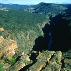
Gunnison Gorge Wilderness
13.6 km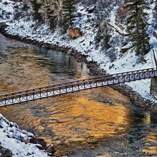
Crystal Reservoir
40.3 km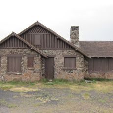
Land's End Observatory
43 km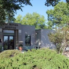
Ute Indian Museum
38.9 km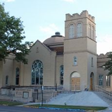
Methodist Episcopal Church of Montrose
33.9 km
North Rim Road
26.6 km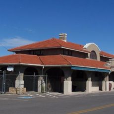
Montrose County Historical Museum
34.2 km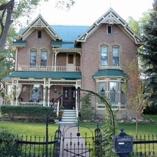
Thomas B. Townsend House
34.5 km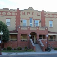
Benevolent and Protective Order of Elks Lodge
34.1 km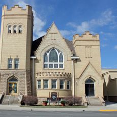
First Methodist Episcopal Church of Delta
20.7 km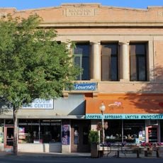
Montrose Masonic Temple, Lodge No. 63
33.9 km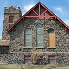
First Presbyterian Church of Eckert
12.6 km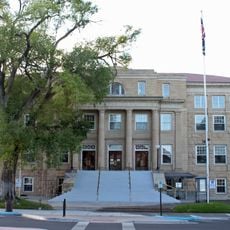
Montrose County Courthouse
34.1 km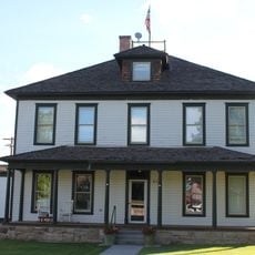
U.S. Bureau of Reclamation Project Office Building
33.3 km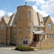
Paonia First Christian Church
23 km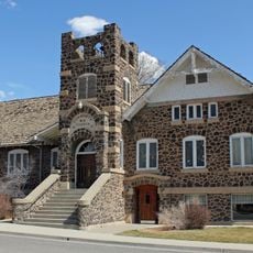
Hotchkiss Methodist Episcopal Church
10.5 km
North Rim Road
28.3 km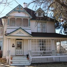
Garnethurst
20.2 km
Painted Wall
24.4 km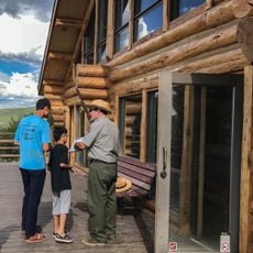
South Rim Visitor Center
28.6 km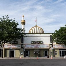
Fox Cinema Center
34 km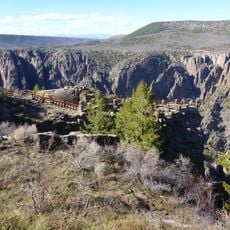
Gunnison Point
28.5 kmHeeft u deze plek bezocht? Tik op de sterren om een beoordeling te geven en uw ervaring of foto's te delen met de community! Probeer het nu! U kunt het op elk moment annuleren.
Ontdek verborgen schatten op elk avontuur!
Van karakteristieke kleine cafeetjes tot geheime uitzichtpunten – ontvlucht de drukte en vind plekken die echt bij jou passen. Onze app maakt het makkelijk: spraakzoekopdrachten, slimme filters, geoptimaliseerde routes en authentieke tips van reizigers wereldwijd. Download nu en beleef het avontuur op je smartphone!

Een nieuwe benadering van toeristische ontdekking❞
— Le Figaro
Alle plekken die de moeite waard zijn om te ontdekken❞
— France Info
Een uitstapje op maat in slechts een paar klikken❞
— 20 Minutes