
Franklin Island National Wildlife Refuge, protected area in Maine, United States
Locatie: Knox County
Ontstaan: 1973
Onderdeel van: Maine Coastal Islands National Wildlife Refuge
Website: https://fws.gov/refuge/franklin_island
GPS-coördinaten: 43.89100,-69.37410
Laatste update: 8 maart 2025 om 00:55
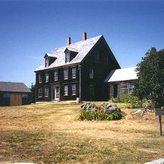
Olson House
13.2 km
Pemaquid Point Light
12.2 km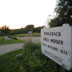
Whaleback Shell Midden
20.2 km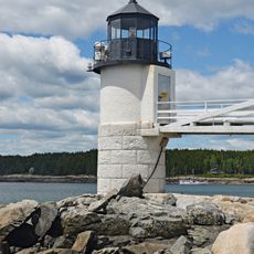
Marshall Point Light
9.5 km
Tenants Harbor Light
17 km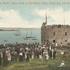
Fort William Henry
12.2 km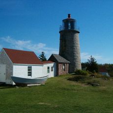
Monhegan Island Light
14.8 km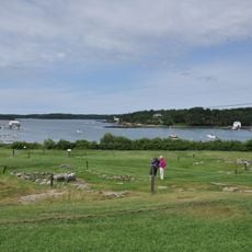
Pemaquid Archeological Site
11.9 km
Project Puffin
3.4 km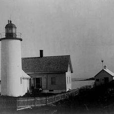
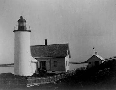
Franklin Island Light
124 m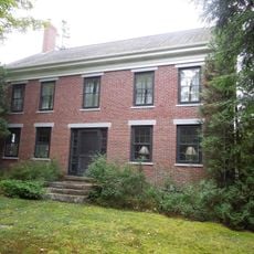
Perkins Homestead
19.4 km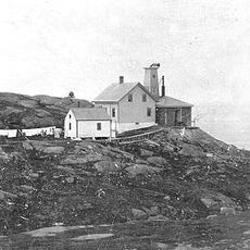
Manana Island Sound Signal Station
14.7 km
Mosquito Island House
12.6 km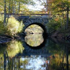
Arch Bridge
13.5 km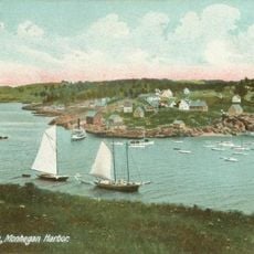
Monhegan
15 km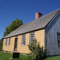
Chapman-Hall House
20.1 km
Sproul Homestead
14.5 km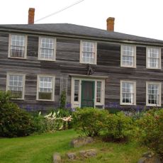
The Influence
14.8 km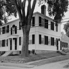
Matthew Cottrill House
20.2 km
Walpole Meetinghouse
17 km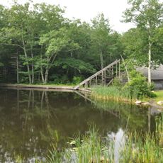
Thompson Icehouse
15 km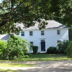
Daniel Weston Homestead
13.1 km
Huston House
18.9 km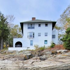
Emily Means House
14.8 km
Stephen Coffin House
20.2 km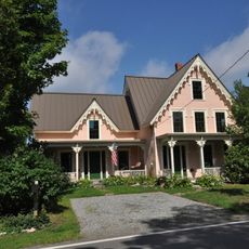
Cottage on King's Row
9.3 km
Lincoln County Community Theater
20.2 km
Damariscotta Oyster Shell Heaps
20.2 kmHeeft u deze plek bezocht? Tik op de sterren om een beoordeling te geven en uw ervaring of foto's te delen met de community! Probeer het nu! U kunt het op elk moment annuleren.
Ontdek verborgen schatten op elk avontuur!
Van karakteristieke kleine cafeetjes tot geheime uitzichtpunten – ontvlucht de drukte en vind plekken die echt bij jou passen. Onze app maakt het makkelijk: spraakzoekopdrachten, slimme filters, geoptimaliseerde routes en authentieke tips van reizigers wereldwijd. Download nu en beleef het avontuur op je smartphone!

Een nieuwe benadering van toeristische ontdekking❞
— Le Figaro
Alle plekken die de moeite waard zijn om te ontdekken❞
— France Info
Een uitstapje op maat in slechts een paar klikken❞
— 20 Minutes