
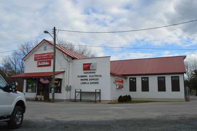
Northampton Lumber Company Historic District
Northampton Lumber Company Historic District, place in Virginia listed on National Register of Historic Places
Locatie: Northampton County
GPS-coördinaten: 37.47280,-75.85890
Laatste update: 14 april 2025 om 05:33
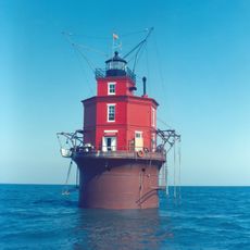
Wolf Trap Light
30.7 km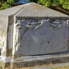
Custis Tombs
30 km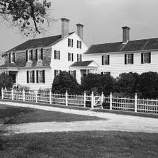
Eyre Hall
20.8 km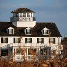
Coast Guard Station Cobb Island
21.1 km
Savage Neck Dunes Natural Area Preserve
21.2 km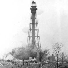
Hog Island Light
16.5 km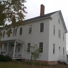
Almshouse Farm at Machipongo
8.7 km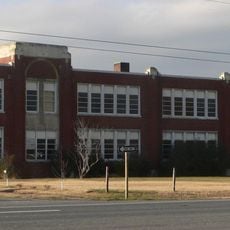
Central High School
15.7 km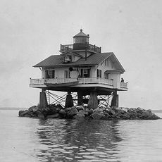
Old Plantation Flats Light
31.9 km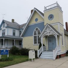
Cape Charles Historic District
26.6 km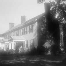
Vaucluse
11.6 km
Pear Valley
10.3 km
Cherrystone Bar Light
28.6 km
Northampton County Courthouse Historical District
15.5 km
Cokesbury Church
28.4 km
Winona
7.3 km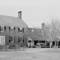
Brownsville
2.9 km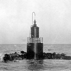
Pungoteague Creek Light
21.5 km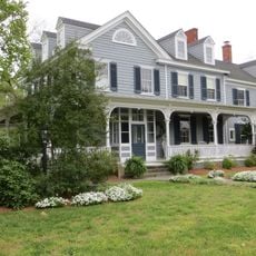
Onancock Historic District
28.4 km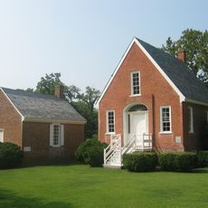
Eastville Historical District
15.4 km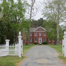
Kerr Place
28.5 km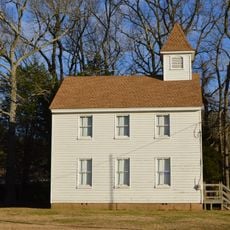
Locustville Academy
26.2 km
Grapeland
8.2 km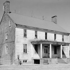
Shepherd's Plain
17.5 km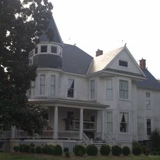
John W. Chandler House
7.3 km
Smith Beach
16.9 km
Snead Beach
30.7 km
Hungars Beach
15.2 kmHeeft u deze plek bezocht? Tik op de sterren om een beoordeling te geven en uw ervaring of foto's te delen met de community! Probeer het nu! U kunt het op elk moment annuleren.
Ontdek verborgen schatten op elk avontuur!
Van karakteristieke kleine cafeetjes tot geheime uitzichtpunten – ontvlucht de drukte en vind plekken die echt bij jou passen. Onze app maakt het makkelijk: spraakzoekopdrachten, slimme filters, geoptimaliseerde routes en authentieke tips van reizigers wereldwijd. Download nu en beleef het avontuur op je smartphone!

Een nieuwe benadering van toeristische ontdekking❞
— Le Figaro
Alle plekken die de moeite waard zijn om te ontdekken❞
— France Info
Een uitstapje op maat in slechts een paar klikken❞
— 20 Minutes