
John Cole Farm, gebouw in Rhode Island, Verenigde Staten van Amerika
Locatie: Rhode Island
GPS-coördinaten: 41.99056,-71.40667
Laatste update: 23 september 2025 om 15:47

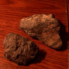
Cumberlandite
4.2 km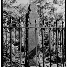
Angle Tree Stone
3.5 km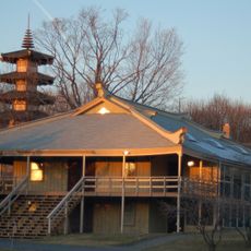
Providence Zen Center
3 km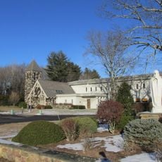
Mount Saint Mary's Abbey
5.6 km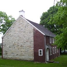
Lime Rock
8.1 km
Attleborough Falls Historic District
7.7 km
Arnold Mills Historic District
1.6 km
Lewis Tower House
5 km
Ashton Historic District
6.3 km
North Attleborough Town Center Historic District
6.1 km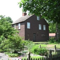
Woodcock-Hatch-Maxcy House Historic District
6.3 km
Valentine Whitman House
7.7 km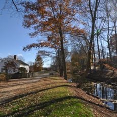
Old Ashton Historic District
6.4 km
Berkeley Mill Village
6.9 km
South Washington Street Historic District
6.2 km
Old Town Historic District
7.5 km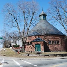
Attleborough Falls Gasholder Building
7.4 km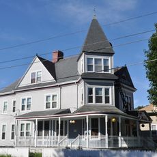
Alphonse Gaulin Jr. House
7.8 km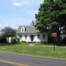
The Codding Farm
5.3 km
Smithfield Road Historic District
7.6 km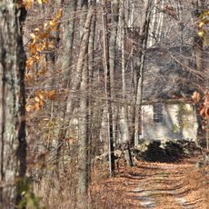
Ballou-Weatherhead House
3.1 km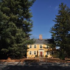
Whipple-Cullen House and Barn
7.3 km
Lafayette Worsted Company Administrative Headquarters Historic District
7.9 km
Burlingame-Noon House
4.5 km
Whipple-Jenckes House
3.8 km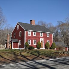
Ballou House
7.3 km
Towne Street Historic District
8.1 km
Albion Historic District
5.9 kmHeeft u deze plek bezocht? Tik op de sterren om een beoordeling te geven en uw ervaring of foto's te delen met de community! Probeer het nu! U kunt het op elk moment annuleren.
Ontdek verborgen schatten op elk avontuur!
Van karakteristieke kleine cafeetjes tot geheime uitzichtpunten – ontvlucht de drukte en vind plekken die echt bij jou passen. Onze app maakt het makkelijk: spraakzoekopdrachten, slimme filters, geoptimaliseerde routes en authentieke tips van reizigers wereldwijd. Download nu en beleef het avontuur op je smartphone!

Een nieuwe benadering van toeristische ontdekking❞
— Le Figaro
Alle plekken die de moeite waard zijn om te ontdekken❞
— France Info
Een uitstapje op maat in slechts een paar klikken❞
— 20 Minutes