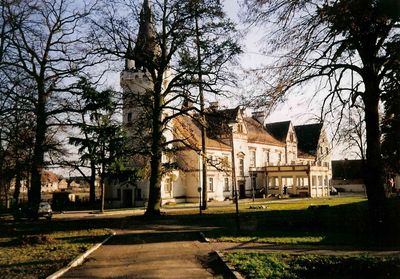
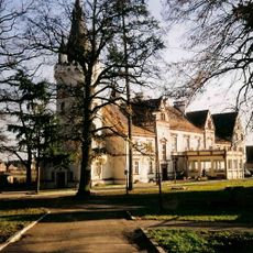
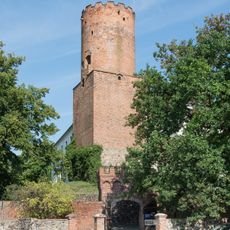
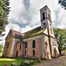
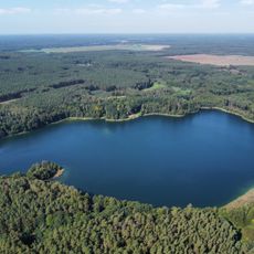
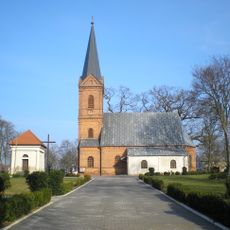
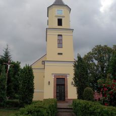
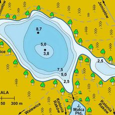
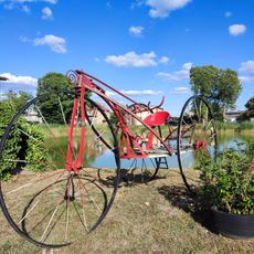
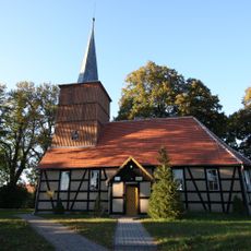
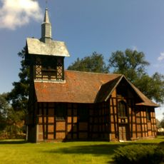
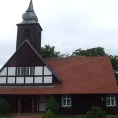
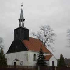
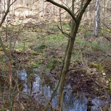
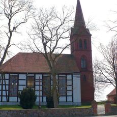
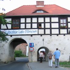
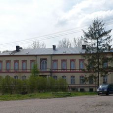
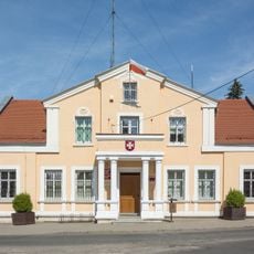
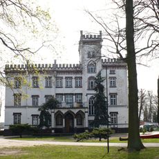
Toporów, dorp in Polen (Łagów)
De community van nieuwsgierige reizigers
AroundUs brengt duizenden geselecteerde plaatsen, lokale tips en verborgen pareltjes samen, dagelijks verrijkt door meer dan 60,000 bijdragers wereldwijd.
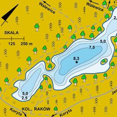
Locatie
Ontstaan
1 april 1991
Hoogte boven de zeespiegel
110 m
GPS-coördinaten
52.26528,15.25972
Laatste update
6 maart 2025 om 01:21