
Miłomłyn, gemeente
Locatie: Ostróda County
Grenst aan: Gmina Iława, Gmina Łukta, Gmina Małdyty, Gmina Morąg, Gmina Ostróda, Gmina Zalewo
Website: http://milomlyn.pl
GPS-coördinaten: 53.76667,19.83333
Laatste update: 15 maart 2025 om 03:16

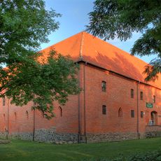
Ostróda Castle
11 km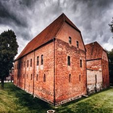
Ostróda Castle
11 km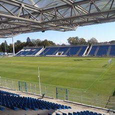
Ostróda Stadium
10 km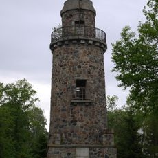
Bismark tower in Ostróda
10 km
Ostróda Museum
11 km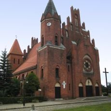
Saint Bartholomew church in Miłomłyn
338 m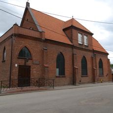
Baptist church in Ostróda
10.6 km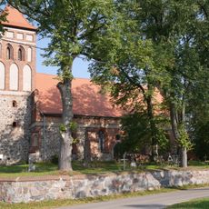
Exaltation of the Holy Cross church in Boreczno
9.6 km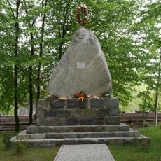
Pomnik - obelisk mieszkańców poległych w I wojnie światowej
4 km
Cmentarz przykościelny w Borecznie
9.6 km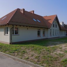
Szkoła, tzw. biała
9.6 km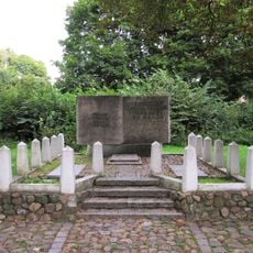
Polska Góra cemetery in Ostróda
10.9 km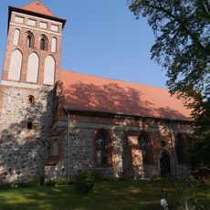
Kościół Podwyższenia Św. Krzyża w Borecznie
9.6 km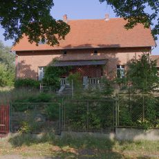
Zespół pastorówki
9.7 km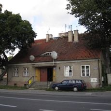
28 Mickiewicza Street in Ostróda
10.7 km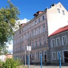
Słowackiego 9
10.8 km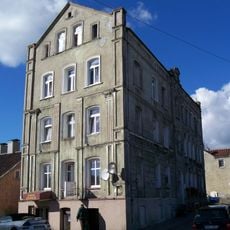
Spichrzowa 1
10.9 km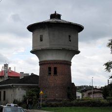
Railway water tower in Ostróda
10 km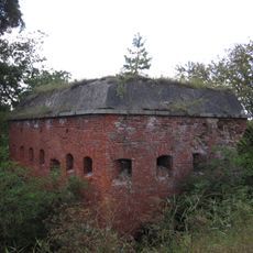
Water dam and bunkers in Samborowo
10.7 km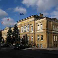
Town Hall in Ostróda
10.9 km
Zespół pałacowo-folwarczny w Karnitach
7.5 km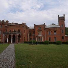
Palace in Karnity
7.5 km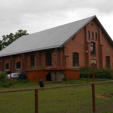
Ujeżdżalnia
7.5 km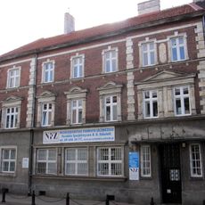
11 Mickiewicza Street in Ostróda
11 km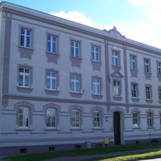
11 Listopada 41
10.7 km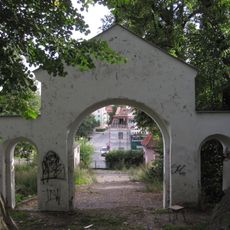
Cemetery Gate
11 km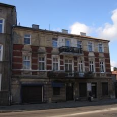
11 Listopada 6
11 km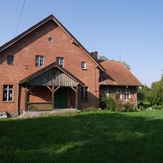
Pastorówka w Borecznie
9.7 kmBeoordelingen
Heeft u deze plek bezocht? Tik op de sterren om een beoordeling te geven en uw ervaring of foto's te delen met de community! Probeer het nu! U kunt het op elk moment annuleren.
Ontdek verborgen schatten op elk avontuur!
Van karakteristieke kleine cafeetjes tot geheime uitzichtpunten – ontvlucht de drukte en vind plekken die echt bij jou passen. Onze app maakt het makkelijk: spraakzoekopdrachten, slimme filters, geoptimaliseerde routes en authentieke tips van reizigers wereldwijd. Download nu en beleef het avontuur op je smartphone!

Een nieuwe benadering van toeristische ontdekking❞
— Le Figaro
Alle plekken die de moeite waard zijn om te ontdekken❞
— France Info
Een uitstapje op maat in slechts een paar klikken❞
— 20 Minutes