
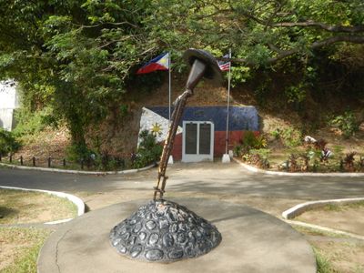
World War II Death March Memorial Shrine, World War II memorial in Mariveles, Bataan in the Philippines
Locatie: Mariveles
Adres: National Road, Poblacion
GPS-coördinaten: 14.43583,120.49111
Laatste update: 4 maart 2025 om 08:03
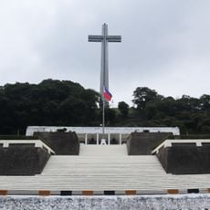
Mount Samat National Shrine
19 km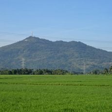
Mount Samat
18.8 km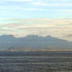
Mount Mariveles
10.4 km
Fort Hughes
15.6 km
Fort Mills
10 km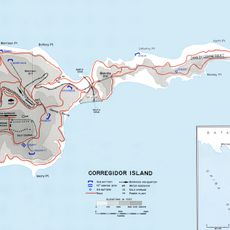
Fort Frank
23.1 km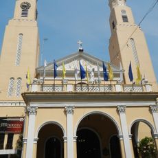
Paco Church
15 km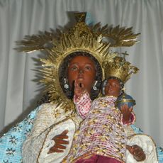
Nuestra Señora del Buen Suceso de Parañaque
18.7 km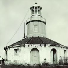
Corregidor Island lighthouse
11.2 km
Casa Bizantina
21.3 km
Casa Hidalgo
21.5 km
Casa Unisan
21.3 km
Casa Jaen I
21.4 km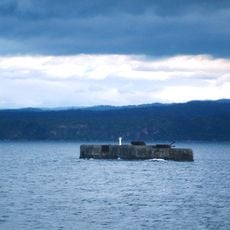
Phare de Fort Drum
20.9 km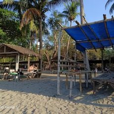
Paniman Beach
25.6 km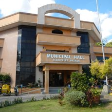
Mariveles Municipal Hall
90 m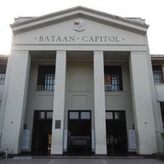
Bataan Provincial Capitol
27 km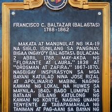
Francisco C. Baltazar (Balagtas) historical marker
23.4 km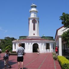
Corregidor Island lighthouse
11.1 km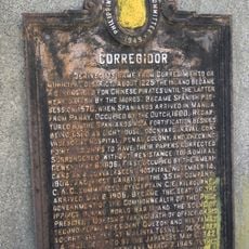
Corregidor historical marker
815 m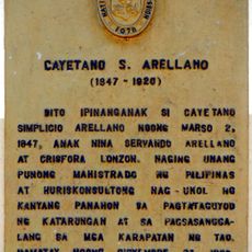
Cayetano S. Arellano historical marker
22.7 km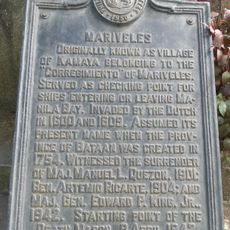
Mariveles historical marker
93 m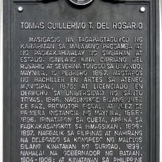
Tomas Guillermo T. del Rosario historical marker
27 km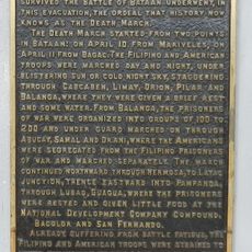
The Death March of Filipino and American Prisoners of War from Mariveles and Bagac to Camp O’Donnell, Capas, Tarlac historical markers
16 m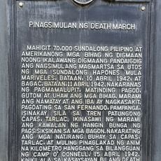
Starting Point of Death March historical marker
20.9 km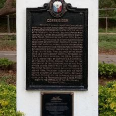
Corregidor historical marker
11.9 km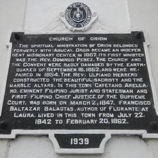
Church of Orion historical marker
22.6 km
Douglas MacArthur's Statue
11.7 kmHeeft u deze plek bezocht? Tik op de sterren om een beoordeling te geven en uw ervaring of foto's te delen met de community! Probeer het nu! U kunt het op elk moment annuleren.
Ontdek verborgen schatten op elk avontuur!
Van karakteristieke kleine cafeetjes tot geheime uitzichtpunten – ontvlucht de drukte en vind plekken die echt bij jou passen. Onze app maakt het makkelijk: spraakzoekopdrachten, slimme filters, geoptimaliseerde routes en authentieke tips van reizigers wereldwijd. Download nu en beleef het avontuur op je smartphone!

Een nieuwe benadering van toeristische ontdekking❞
— Le Figaro
Alle plekken die de moeite waard zijn om te ontdekken❞
— France Info
Een uitstapje op maat in slechts een paar klikken❞
— 20 Minutes