
Boundary stone 110m north west of St Mary's Church
Boundary stone 110m north west of St Mary's Church, boundary marker in Sticklepath, West Devon, England, UK
Locatie: Sticklepath
Onderdeel van: political border
GPS-coördinaten: 50.73080,-3.93003
Laatste update: 9 maart 2025 om 09:01

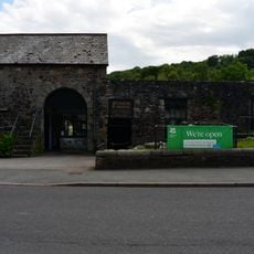
Finch Foundry
296 m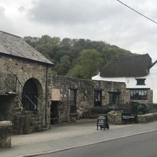
National Trust - Finch Foundry
296 m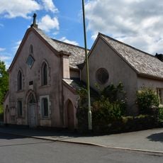
Methodist Chapel
168 m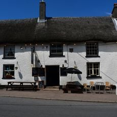
Taw River Inn
327 m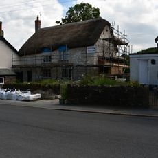
Post Office
331 m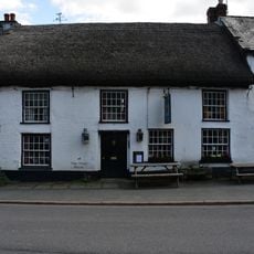
Devonshire Inn
268 m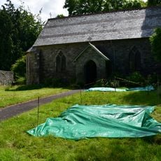
St Mary's Church
105 m
The Dairy And Adjoining Cottage To Its East
297 m
Tudor Cottage
289 m
Chantry's Cottage
242 m
The Old Cottage
127 m
Carbery And Bracon Cottages And Adjoining Cottage To East
271 m
Foundry Cottage
277 m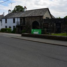
Finch Foundry Foundry House
303 m
Staplers The Heritage
186 m
Sunnyside Cottage
311 m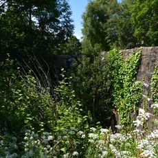
Sticklepath Bridge
478 m
The Kings Arms
1.2 km
Yellands
1.2 km
Ford Farmhouse
767 m
Sunnyside With Attached Outbuildings
211 m
Barn Approximately 1.5 Metres North Of Ford Farmhouse
749 m
Primula House
385 m
Cleave House
78 m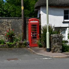
K6 Telephone Kiosk Opposite Finchs Foundry
265 m
Silverlake
411 m
Taw Leat And Cottage Adjoining To Left
423 m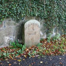
Milestone, by drive of Trafalgar House, S end of Sticklepath
719 mHeeft u deze plek bezocht? Tik op de sterren om een beoordeling te geven en uw ervaring of foto's te delen met de community! Probeer het nu! U kunt het op elk moment annuleren.
Ontdek verborgen schatten op elk avontuur!
Van karakteristieke kleine cafeetjes tot geheime uitzichtpunten – ontvlucht de drukte en vind plekken die echt bij jou passen. Onze app maakt het makkelijk: spraakzoekopdrachten, slimme filters, geoptimaliseerde routes en authentieke tips van reizigers wereldwijd. Download nu en beleef het avontuur op je smartphone!

Een nieuwe benadering van toeristische ontdekking❞
— Le Figaro
Alle plekken die de moeite waard zijn om te ontdekken❞
— France Info
Een uitstapje op maat in slechts een paar klikken❞
— 20 Minutes