
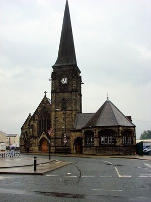
Christ Church, kerkgebouw in Verenigd Koninkrijk
Locatie: Newcastle upon Tyne
GPS-coördinaten: 54.97540,-1.60253
Laatste update: 21 maart 2025 om 04:08
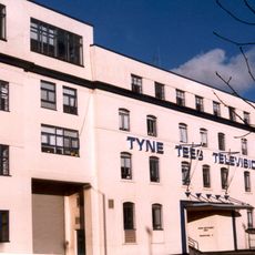
Television Centre, Newcastle upon Tyne
459 m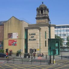
Laing Art Gallery
416 m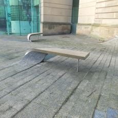
Blue Carpet
433 m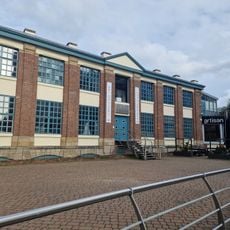
The Biscuit Factory
341 m
Newcastle City Library
497 m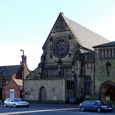
Church of St Dominic
323 m
Army Riding School
511 m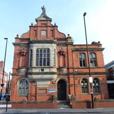
Burt Hall
495 m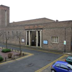
Church of the Divine Unity and Durant Hall
303 m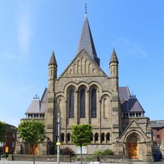
Church of St James with Hall, Sunday School and House Attached
475 m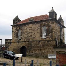
Sallyport Or Wall Knoll Tower
461 m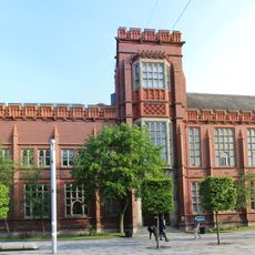
Sutherland Building
459 m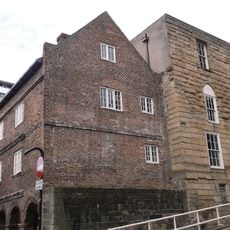
Austin Friary Tower Attached To The John George Joicey Museum
506 m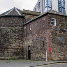
Plummer Tower
389 m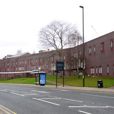
Salvation Army Men's Palace
426 m
Careers Centre
508 m
Plummer House
422 m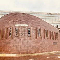
Mea House
360 m
Industrial Workers' Dwellings
406 m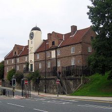
The Keelmen's Hospital
423 m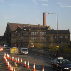
Gibson Street Baths
296 m
Tiffany's Club (west Part)
377 m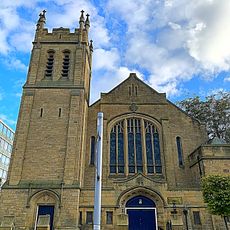
Trinity Building
415 m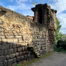
Newcastle upon Tyne town defences: section of curtain wall including Plummer Tower and a 17th century bastion
388 m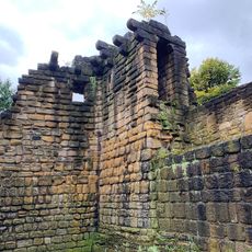
Newcastle upon Tyne town defences: section of curtain wall containing Corner Tower
507 m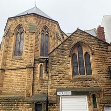
St Andrews Roman Catholic Church And Attached Presbytery
504 m
Broadcasting House
411 m
Newcastle upon Tyne town defences: section of curtain wall including Sallyport or Wall Knoll Tower
462 mHeeft u deze plek bezocht? Tik op de sterren om een beoordeling te geven en uw ervaring of foto's te delen met de community! Probeer het nu! U kunt het op elk moment annuleren.
Ontdek verborgen schatten op elk avontuur!
Van karakteristieke kleine cafeetjes tot geheime uitzichtpunten – ontvlucht de drukte en vind plekken die echt bij jou passen. Onze app maakt het makkelijk: spraakzoekopdrachten, slimme filters, geoptimaliseerde routes en authentieke tips van reizigers wereldwijd. Download nu en beleef het avontuur op je smartphone!

Een nieuwe benadering van toeristische ontdekking❞
— Le Figaro
Alle plekken die de moeite waard zijn om te ontdekken❞
— France Info
Een uitstapje op maat in slechts een paar klikken❞
— 20 Minutes