
Parish Church of St Mary the Virgin, kerkgebouw
Locatie: Steeple Bumpstead
Ontstaan: 11e eeuw
GPS-coördinaten: 52.04250,0.44676
Laatste update: 3 maart 2025 om 02:44

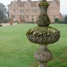
Moyns Park
1.6 km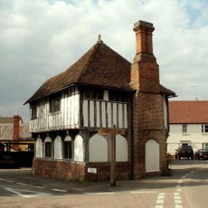
The Moot Hall
115 m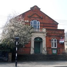
Corn Exchange
4.8 km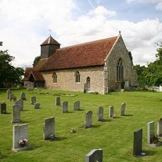
Church of St Leonard
4.4 km
Church of St Mary
4.5 km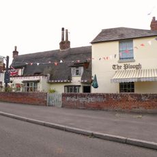
The Plough Inn
2.8 km
Parish Church of St Andrew
2.8 km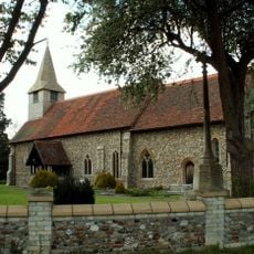
Parish Church of St Augustine
2.8 km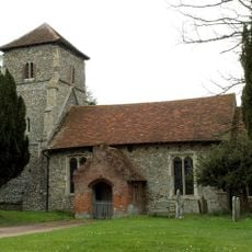
Parish Church of St Mary the Virgin
3.1 km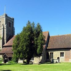
Church of St Andrew
5.4 km
Old Independent Church
4.1 km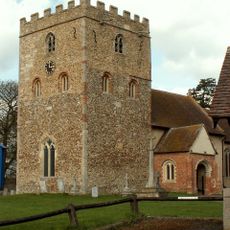
Parish Church of St Peter and St Thomas
4.7 km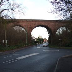
The Sturmer Arches
3.7 km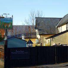
The Fox And Hounds Public House
110 m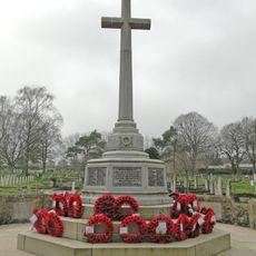
Haverhill War Memorial
4.9 km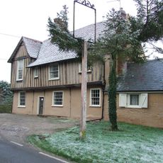
The Red Lion Public House
4.8 km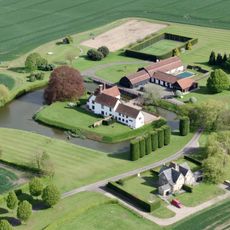
Bridge Approximately 10 Metres South Of Latchleys Farmhouse
1.7 km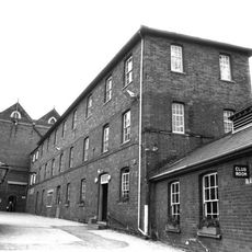
Chauntry Clothing Mills
4.4 km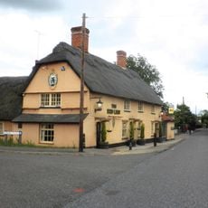
The Red Lion Public House
3.4 km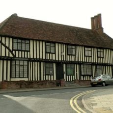
Anne Of Cleves House
4 km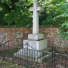
Steeple Bumpstead War Memorial
114 m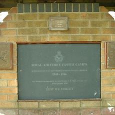
RAF Castle Camps WWII Memorial
4.6 km
Latchleys Farmhouse
1.7 km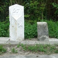
Milestone and milepost standing on the south side of Rowley Hill (A1017), around 60m south-east of its junction with Church Walk
3.3 km
Little Bulls Farmhouse
2.3 km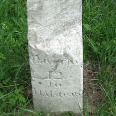
Milestone 230 Metres South West Of Baythorne Hall At Ngr 718 425
4.1 km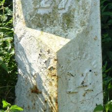
Milestone, Rowley Hill, W of jct with Church Croft
3.3 km
Milepost, Rowley Hill, W of jct with Church Croft
3.3 kmHeeft u deze plek bezocht? Tik op de sterren om een beoordeling te geven en uw ervaring of foto's te delen met de community! Probeer het nu! U kunt het op elk moment annuleren.
Ontdek verborgen schatten op elk avontuur!
Van karakteristieke kleine cafeetjes tot geheime uitzichtpunten – ontvlucht de drukte en vind plekken die echt bij jou passen. Onze app maakt het makkelijk: spraakzoekopdrachten, slimme filters, geoptimaliseerde routes en authentieke tips van reizigers wereldwijd. Download nu en beleef het avontuur op je smartphone!

Een nieuwe benadering van toeristische ontdekking❞
— Le Figaro
Alle plekken die de moeite waard zijn om te ontdekken❞
— France Info
Een uitstapje op maat in slechts een paar klikken❞
— 20 Minutes