
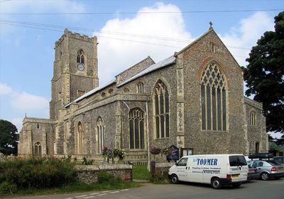
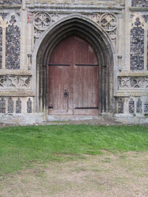
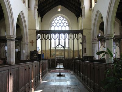
Church of St Mary, kerkgebouw
Locatie: Worstead
Ontstaan: 14e eeuw
GPS-coördinaten: 52.78300,1.41208
Laatste update: 2 maart 2025 om 21:30
Dilham Castle
3.2 km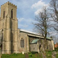
Church of St Mary
3.4 km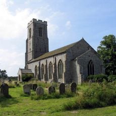
Church of St Peter and St Paul
3.1 km
Church of St Botolph
1.6 km
Church of St. Michael
3.6 km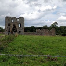
Honing Station
2.1 km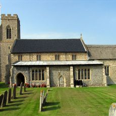
Church of St Bartholomew
2 km
Cross Shaft 250 Metres West Of Park Farm
3.1 km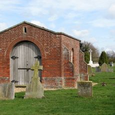
Scottow Cemetery Chapel
3.3 km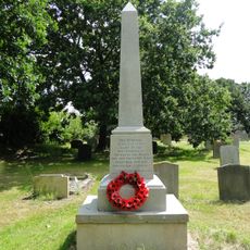
Smallburgh War Memorial
3.8 km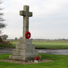
Scottow War Memorial
3.6 km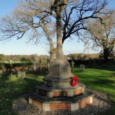
Sloley War Memorial
2 km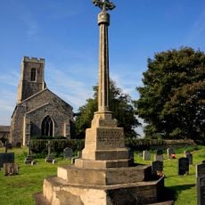
Honing War Memorial
3.1 km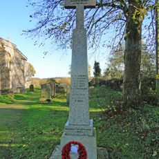
Swanton Abbott War Memorial
3.6 km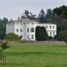
Westwick House
1.5 km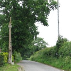
Cross 120m south west of Tollgate Farm
3.2 km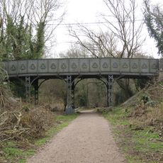
Dilham Road bridge
2.9 km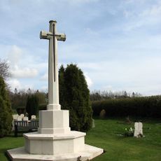
Scottow Cemetery Cross of Sacrifice
3.3 km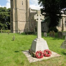
Tunstead War Memorial
3.4 km
RAF Coltishall War Memorial
3.3 km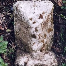
Milestone, 40yds N of jct with rd to Swanton Abbott and Wwick
1.5 km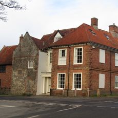
The Manor House
54 m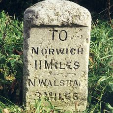
Milestone, NE side of X-rds beside village sign
2.1 km
Milestone, N side of entrance to church
3.2 km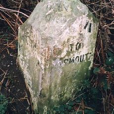
Milestone, c.50yds E of Holgate Rd
2.4 km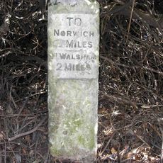
Milestone, 18yds N of end of crash barrier alongside lake
2.6 km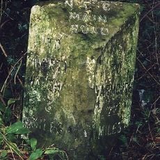
Milestone, 3yds N of turn off A149; 12yds S of stream
1.4 km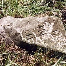
Milestone, 3 yds S of Dilham sign
2.7 kmHeeft u deze plek bezocht? Tik op de sterren om een beoordeling te geven en uw ervaring of foto's te delen met de community! Probeer het nu! U kunt het op elk moment annuleren.
Ontdek verborgen schatten op elk avontuur!
Van karakteristieke kleine cafeetjes tot geheime uitzichtpunten – ontvlucht de drukte en vind plekken die echt bij jou passen. Onze app maakt het makkelijk: spraakzoekopdrachten, slimme filters, geoptimaliseerde routes en authentieke tips van reizigers wereldwijd. Download nu en beleef het avontuur op je smartphone!

Een nieuwe benadering van toeristische ontdekking❞
— Le Figaro
Alle plekken die de moeite waard zijn om te ontdekken❞
— France Info
Een uitstapje op maat in slechts een paar klikken❞
— 20 Minutes