
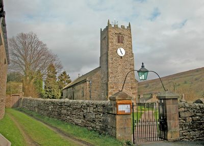
Church of Saint Mary, kerkgebouw
Locatie: Muker
Website: https://achurchnearyou.com/church/3267
GPS-coördinaten: 54.37630,-2.13921
Laatste update: 3 maart 2025 om 16:06
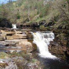
Kisdon Force
3.3 km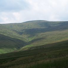
Great Shunner Fell
6.2 km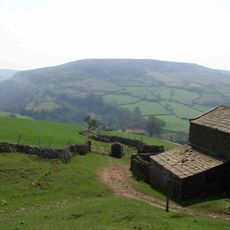
Kisdon
2.3 km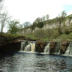
Wain Wath Force
4.5 km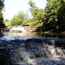
Catrake Force
3.9 km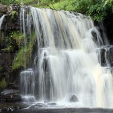
East Gill Force
3.5 km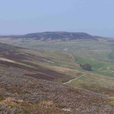
Lovely Seat
4.2 km
Arkengarthdale Gunnerside and Reeth Moors
7 km
Angram Bottoms
2.8 km
Bridge Approximately 200 Metres East Of Firs Farmhouse
5.7 km
Pack-Horse Bridge
7.2 km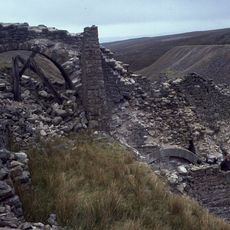
Lead mines, ore works and smeltmills at Old Gang on Reeth High Moor
6.8 km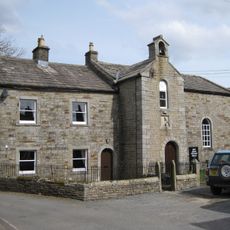
United Reform Church And Former Manse, With Railings
3.7 km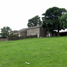
Turnip House And Attached Byre
6.8 km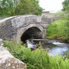
Scar House Bridge
1.4 km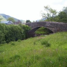
Long Close Bridge
1 km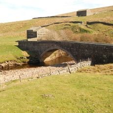
Bridge Approximately 30 Metres East Of Stone House
6 km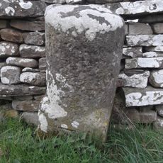
Milestone Approximately 400 Metres West Of Junction With Bainbridge Road
7.2 km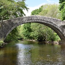
Ivelet Bridge
2.3 km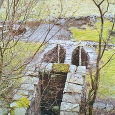
Beldi Hill Low Level lead mine and ore works
3 km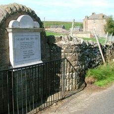
Keld War Memorial, North Yorkshire
3.5 km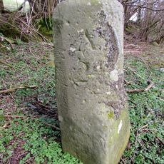
Milestone Facing Junction With Cams Road
7.2 km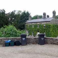
Lawn House
7.2 km
Gunnerside Gill lead mines and ore works
4.4 km
Milestone Approximately 40 Metres West Of Bird Gill
7.4 km
Glory Be And Attached Outbuildings
7 km
Milestone, 40m west of Bird Gill; a mile east of Sedbusk
7.4 km
Cantrells Barn
7 kmHeeft u deze plek bezocht? Tik op de sterren om een beoordeling te geven en uw ervaring of foto's te delen met de community! Probeer het nu! U kunt het op elk moment annuleren.
Ontdek verborgen schatten op elk avontuur!
Van karakteristieke kleine cafeetjes tot geheime uitzichtpunten – ontvlucht de drukte en vind plekken die echt bij jou passen. Onze app maakt het makkelijk: spraakzoekopdrachten, slimme filters, geoptimaliseerde routes en authentieke tips van reizigers wereldwijd. Download nu en beleef het avontuur op je smartphone!

Een nieuwe benadering van toeristische ontdekking❞
— Le Figaro
Alle plekken die de moeite waard zijn om te ontdekken❞
— France Info
Een uitstapje op maat in slechts een paar klikken❞
— 20 Minutes