
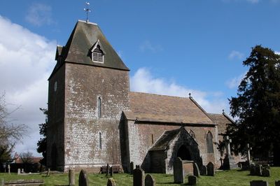
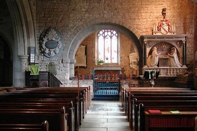
Church of St David, kerkgebouw
Locatie: Much Dewchurch
Ontstaan: 12e eeuw
GPS-coördinaten: 51.97610,-2.75518
Laatste update: 6 maart 2025 om 23:36
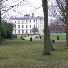
The Mynde
1.8 km
Aconbury Camp
2.9 km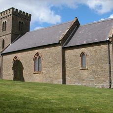
Church of St Mary
3.5 km
Church of St Michael
2.4 km
Church of Ss Mary and Thomas A Becket
2.3 km
Church of St Mary
2.9 km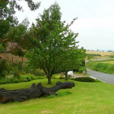
Kings Thorn Dragon
2.5 km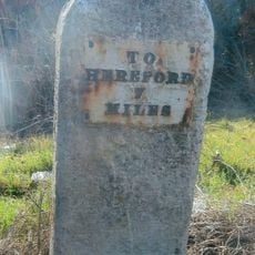
Milestone At So 449322
3.4 km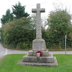
Much Dewchurch War Memorial
132 m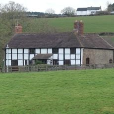
The Priory Farmhouse
3.5 km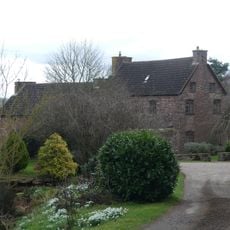
Newhouse Farmhouse and enclosing walls to north-west
3.6 km
Didley Court Farmhouse
3.3 km
Stables and outbuildings attached to south-west of The Mynde
1.8 km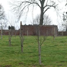
Kitchen garden walls to north of The Mynde
1.8 km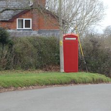
K6 Telephone Kiosk
3.6 km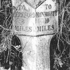
Milepost At Ngr So 495279
3.5 km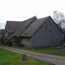
Barn about 50 yards south-west of Newhouse Farmhouse
3.7 km
Milestone At Ngr So 512298
3.2 km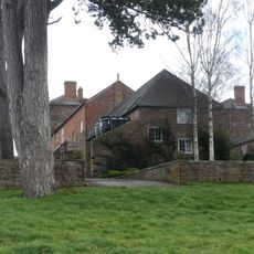
Outbuilding attached to north west of The Mynde
1.8 km
Ha ha about 30 yards to east of The Mynde
1.9 km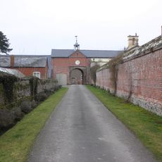
Garden walls to south of The Mynde
1.9 km
Churchyard cross in St David's churchyard
31 m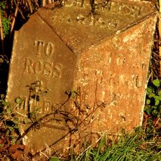
Milepost, SE Wormelow Tump
1.9 km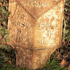
Milepost, Church View
377 m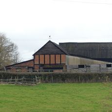
Group of two adjoining barns approximately 50 meters west of Priory Farmhouse
3.6 km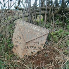
Milepost, Top Hill
1.1 km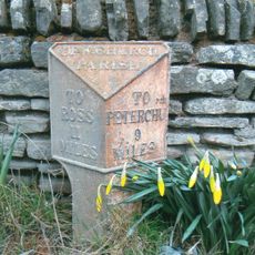
Milepost, Church View, The Rhydd (ruined property)
2.4 km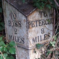
Milepost, Willox Bridge; E of A465 jcn
3.6 kmHeeft u deze plek bezocht? Tik op de sterren om een beoordeling te geven en uw ervaring of foto's te delen met de community! Probeer het nu! U kunt het op elk moment annuleren.
Ontdek verborgen schatten op elk avontuur!
Van karakteristieke kleine cafeetjes tot geheime uitzichtpunten – ontvlucht de drukte en vind plekken die echt bij jou passen. Onze app maakt het makkelijk: spraakzoekopdrachten, slimme filters, geoptimaliseerde routes en authentieke tips van reizigers wereldwijd. Download nu en beleef het avontuur op je smartphone!

Een nieuwe benadering van toeristische ontdekking❞
— Le Figaro
Alle plekken die de moeite waard zijn om te ontdekken❞
— France Info
Een uitstapje op maat in slechts een paar klikken❞
— 20 Minutes