
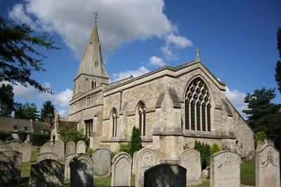
Church of St Mary the Virgin, kerkgebouw
Locatie: Wansford
Ontstaan: 11e eeuw
GPS-coördinaten: 52.58060,-0.41725
Laatste update: 3 maart 2025 om 13:02
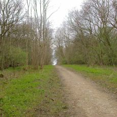
Old Sulehay Forest
1.4 km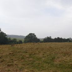
Wansford Pasture
419 m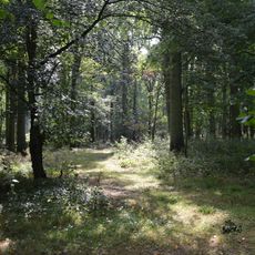
West, Abbot's and Lound Woods
2.2 km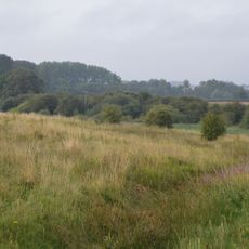
Sutton Heath and Bog
1.7 km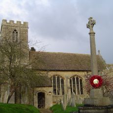
Church of St Andrew, Thornhaugh
1.4 km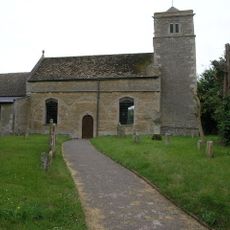
Church of St Mary Magdalene
1.5 km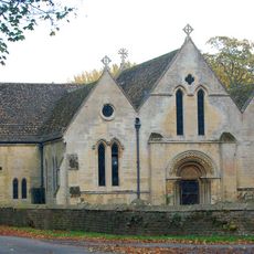
Parish Church of St John the Baptist
1.8 km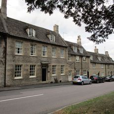
Church House
43 m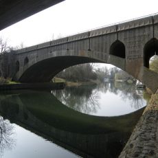
Wansford Bridge
303 m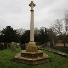
Thornhaugh And Wansford War Memorial
1.3 km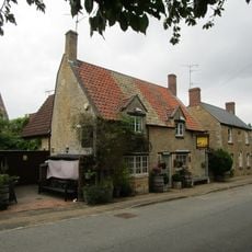
The Angel Public House
1.5 km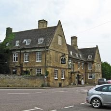
The Haycock Hotel
295 m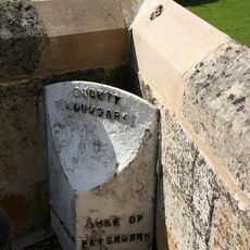
County Boundary Post Beside West Side Cutwater Parapet
172 m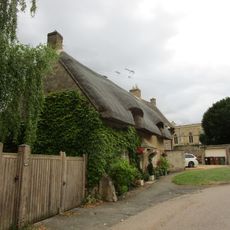
Meadow Cottage
51 m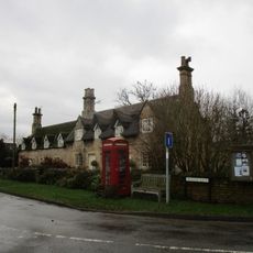
1-7, Meadow Lane
1.4 km
Stibbington Hall
1.7 km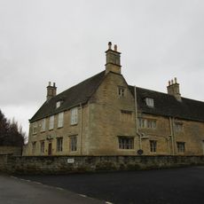
Manor House
1.4 km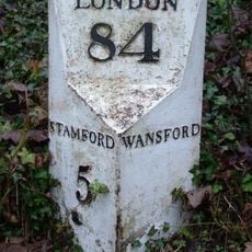
Milepost, Old North Road at jct with A1 and A47
609 m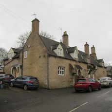
2, 4 And 6, Russell Hill
1.3 km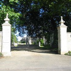
Gateway And Boundary Wall To Forecourt Of Stibbington Hall
1.6 km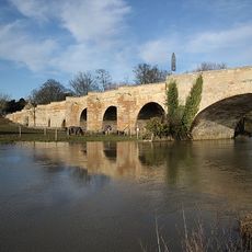
Wansford Old Bridge
176 m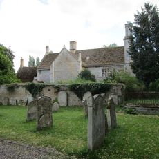
The Old Rectory
1.8 km
Chest Tomb Circa 10 Metres East Of Chancel Of Parish Church Of St John The Baptist
1.8 km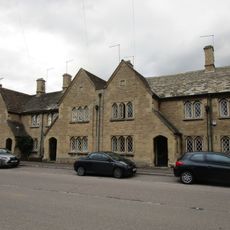
1-11, Elton Road
401 m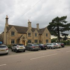
6 8, London Road
269 m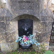
Conduit Head Immediately South Of Nos 5 And 7
1.3 km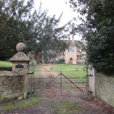
The Old Rectory
1.4 km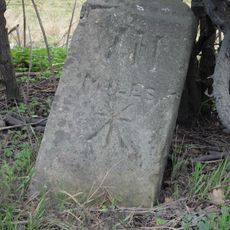
Milestone, just E of petrol station on opposite side of road
1.1 kmHeeft u deze plek bezocht? Tik op de sterren om een beoordeling te geven en uw ervaring of foto's te delen met de community! Probeer het nu! U kunt het op elk moment annuleren.
Ontdek verborgen schatten op elk avontuur!
Van karakteristieke kleine cafeetjes tot geheime uitzichtpunten – ontvlucht de drukte en vind plekken die echt bij jou passen. Onze app maakt het makkelijk: spraakzoekopdrachten, slimme filters, geoptimaliseerde routes en authentieke tips van reizigers wereldwijd. Download nu en beleef het avontuur op je smartphone!

Een nieuwe benadering van toeristische ontdekking❞
— Le Figaro
Alle plekken die de moeite waard zijn om te ontdekken❞
— France Info
Een uitstapje op maat in slechts een paar klikken❞
— 20 Minutes