
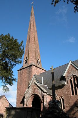
Church of St Tysilio, kerkgebouw
Locatie: Sellack
Ontstaan: 12e eeuw
GPS-coördinaten: 51.94570,-2.63376
Laatste update: 5 maart 2025 om 22:06
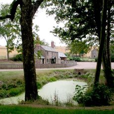
Harewood Park
3.5 km
Church of St Catherine
2.6 km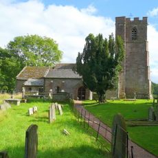
Church of St Dubricius
2.6 km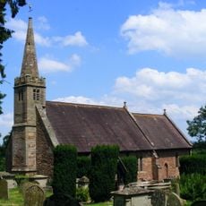
Church of St Peter
2.8 km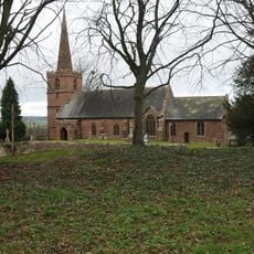
Church of St John the Baptist
1.3 km
Church of St Bridget
3.4 km
Church of St Mary
3.3 km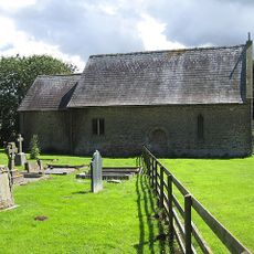
Chapel of St John
3.2 km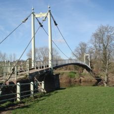
Sellack Bridge
375 m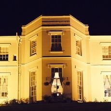
Pengethley Hotel
3 km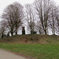
Caple Tump
1.3 km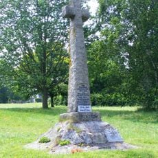
Peterstow War Memorial
3.1 km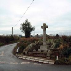
Pict's Cross War Memorial
1.1 km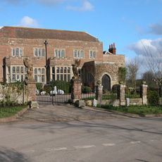
Fawley Court
2.8 km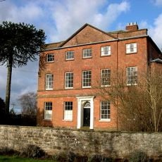
Kings Caple Court
1.3 km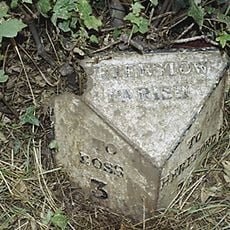
Milepost At National Grid Reference So 555249
2.8 km
Mounting Block Approximately 25 Metres South Of Church Of St John The Baptist
1.3 km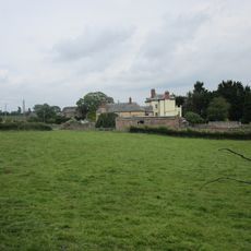
Carthage
3.4 km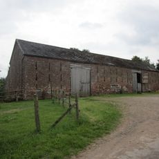
Barn And Attached Wall About 25 Yards West Of White House
711 m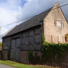
Lower Penault
1.9 km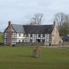
Grange Farmhouse
3.4 km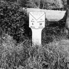
Milepost At National Grid Reference So 540255
3.2 km
Gate Piers, Overthrow, Flanking Walls Extending About 6 Feet To North And South Sides Of Gate Piers, Steps And Retaining Walls To The East Of The Church Of St Catherine
2.6 km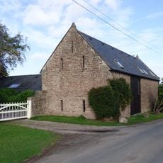
Barn And Adjoining Byre Approximately 20 Metres South East Of Kings Caple
1.3 km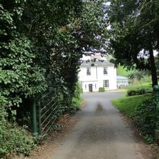
Peterstow Manor
2.8 km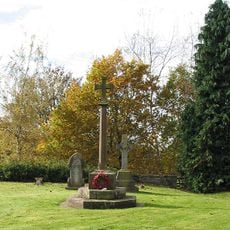
King's Caple War Memorial
1.3 km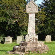
Churchyard Cross Approximately 5 Metres South Of Church Of St John The Baptist
1.3 km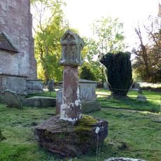
Churchyard cross in St Dubricius's churchyard
2.6 kmHeeft u deze plek bezocht? Tik op de sterren om een beoordeling te geven en uw ervaring of foto's te delen met de community! Probeer het nu! U kunt het op elk moment annuleren.
Ontdek verborgen schatten op elk avontuur!
Van karakteristieke kleine cafeetjes tot geheime uitzichtpunten – ontvlucht de drukte en vind plekken die echt bij jou passen. Onze app maakt het makkelijk: spraakzoekopdrachten, slimme filters, geoptimaliseerde routes en authentieke tips van reizigers wereldwijd. Download nu en beleef het avontuur op je smartphone!

Een nieuwe benadering van toeristische ontdekking❞
— Le Figaro
Alle plekken die de moeite waard zijn om te ontdekken❞
— France Info
Een uitstapje op maat in slechts een paar klikken❞
— 20 Minutes