
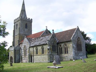
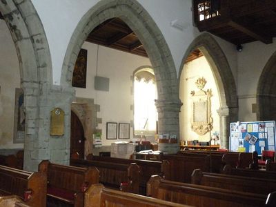
Church of St Mary, kerkgebouw
Locatie: Iwerne Minster
Ontstaan: 12e eeuw
GPS-coördinaten: 50.92950,-2.18871
Laatste update: 5 april 2025 om 07:48
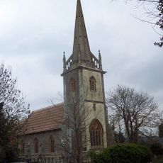
Church of Saint Bartholomew
1.4 km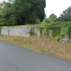
Approximately 25m of churchyard wall to the west and south of St Mary's Church
27 m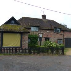
Sunnyside and attached shop
212 m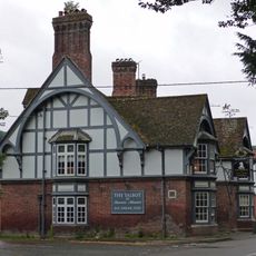
The Talbot at Iwerne Minster
309 m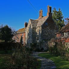
The Chantry
68 m
Iwerne Minster House
569 m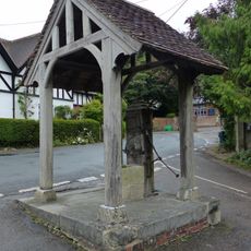
Village pump and pumphouse
171 m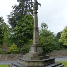
Iwerne Minster and Sutton Waldron War Memorial
290 m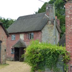
Sunnyside Cottage
226 m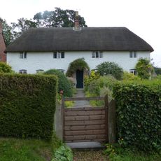
Spring Cottage
131 m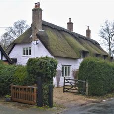
The Old Cottage
267 m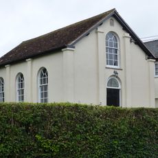
Abingdon Memorial Hall
193 m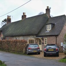
Pair of cottages approximately 5 m east of Sunnyside
195 m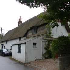
Dwell Deep and Dip Well
171 m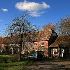
Oyles Mill and Mill House
995 m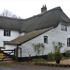
Brookman's Farmhouse
186 m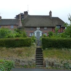
Noel Cottage
38 m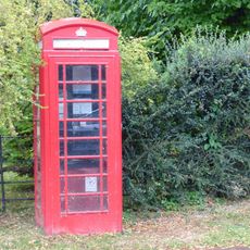
K6 Telephone Kiosk
204 m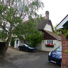
Brook Cottage
132 m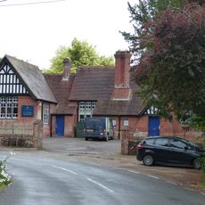
Primary School
129 m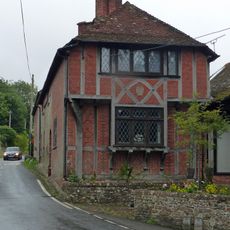
Heddle House
120 m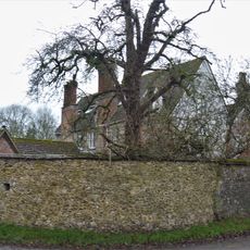
Devine House
121 m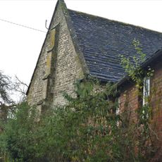
Home Farm Barn.
197 m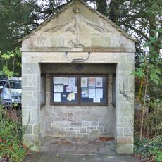
The War Office
163 m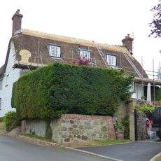
Tillhays
92 m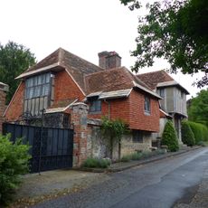
Oak House
50 m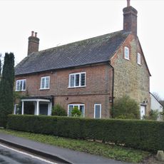
Bowhay
193 m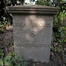
Milepost, S of village, 50m S of 30mph signs
761 mHeeft u deze plek bezocht? Tik op de sterren om een beoordeling te geven en uw ervaring of foto's te delen met de community! Probeer het nu! U kunt het op elk moment annuleren.
Ontdek verborgen schatten op elk avontuur!
Van karakteristieke kleine cafeetjes tot geheime uitzichtpunten – ontvlucht de drukte en vind plekken die echt bij jou passen. Onze app maakt het makkelijk: spraakzoekopdrachten, slimme filters, geoptimaliseerde routes en authentieke tips van reizigers wereldwijd. Download nu en beleef het avontuur op je smartphone!

Een nieuwe benadering van toeristische ontdekking❞
— Le Figaro
Alle plekken die de moeite waard zijn om te ontdekken❞
— France Info
Een uitstapje op maat in slechts een paar klikken❞
— 20 Minutes