
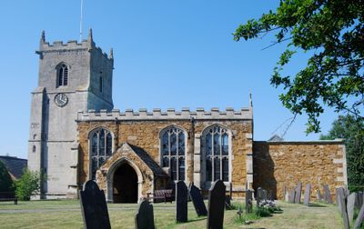
Church of St Andrew, kerkgebouw
Locatie: Twyford and Thorpe
Ontstaan: 12e eeuw
GPS-coördinaten: 52.68360,-0.92169
Laatste update: 2 maart 2025 om 23:27
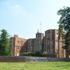
Quenby Hall
4.6 km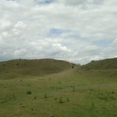
Burrough Hill
3.6 km
Burrough Court
2 km
Baggrave Hall
3.3 km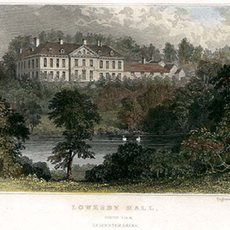
Lowesby Hall
2.7 km
Ashby Folville Manor
2.9 km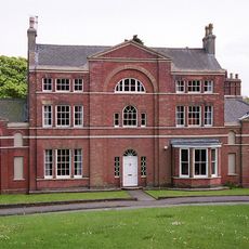
Burrough on the Hill Manor
2.9 km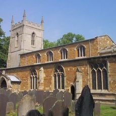
St Mary's Church, Ashby Folville
3 km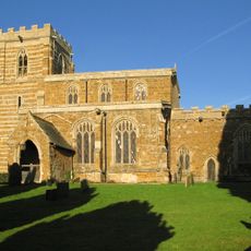
Church of All Saints
2.7 km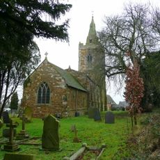
Church of St John the Baptist
3.8 km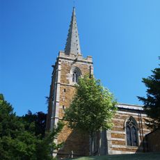
Church of St John the Baptist
4.8 km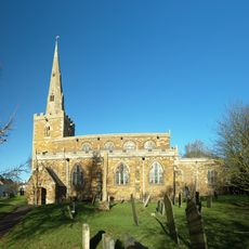
Church of St Peter
4.6 km
Church of St Mary the Virgin
2.8 km
Church of St Swithin
4.5 km
Church of St Michael
1.6 km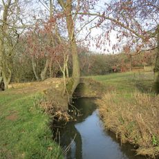
Carr Bridge
2.7 km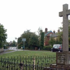
Great Dalby War Memorial
4.4 km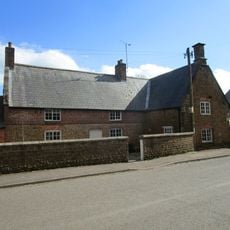
The Old Post Office And Adjoining Outbuiding
2.9 km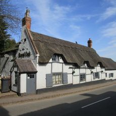
The Royal Oak
4.5 km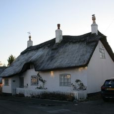
White Cottage And Adjoining Dairy
3.3 km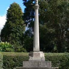
Hungarton War Memorial
4.8 km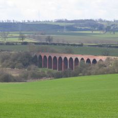
John O'Gaunt railway viaduct
1.5 km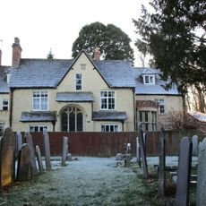
The Vicarage
3 km
Old School
4.7 km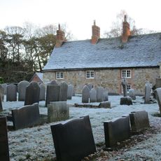
The Bedehouses
3 km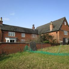
North Manor Farmhouse
3.8 km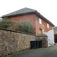
Coach House At Rodhill Farm
4.8 km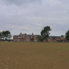
Quenby Lodge Farmhouse
4 kmHeeft u deze plek bezocht? Tik op de sterren om een beoordeling te geven en uw ervaring of foto's te delen met de community! Probeer het nu! U kunt het op elk moment annuleren.
Ontdek verborgen schatten op elk avontuur!
Van karakteristieke kleine cafeetjes tot geheime uitzichtpunten – ontvlucht de drukte en vind plekken die echt bij jou passen. Onze app maakt het makkelijk: spraakzoekopdrachten, slimme filters, geoptimaliseerde routes en authentieke tips van reizigers wereldwijd. Download nu en beleef het avontuur op je smartphone!

Een nieuwe benadering van toeristische ontdekking❞
— Le Figaro
Alle plekken die de moeite waard zijn om te ontdekken❞
— France Info
Een uitstapje op maat in slechts een paar klikken❞
— 20 Minutes