
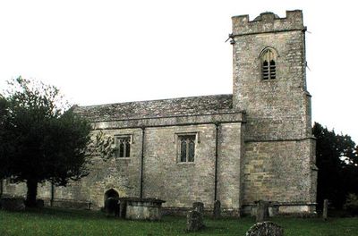
Church of St Peter, kerkgebouw
Locatie: Windrush
Ontstaan: 12e eeuw
GPS-coördinaten: 51.81570,-1.72103
Laatste update: 9 maart 2025 om 02:48
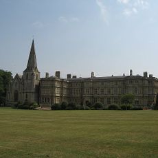
Sherborne House, Gloucestershire
2.9 km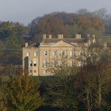
Barrington Park
1.2 km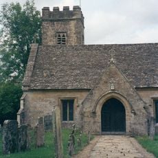
Church of St Peter
1.6 km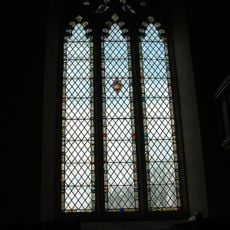
Church of St Mary Magdalene, Adjoining Sherborne House
3 km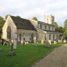
Church of St Mary
1.3 km
Stableblock Circa 35 Metres West Of Park Farmhouse
1.6 km
Reading Room
1.4 km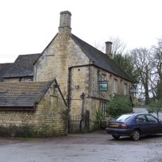
The Fox Inn
1.1 km
The Lower House
1.4 km
Windrush camp
1.4 km
Village Pump And Stone Trough At The Western Corner Of The Green
1.3 km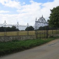
Clairvoyee, Gate And Piers Set Within The Eastern Boundary Wall Of Barrington Park
1.6 km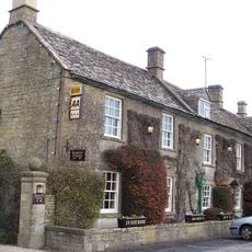
Inn For All Seasons
1.5 km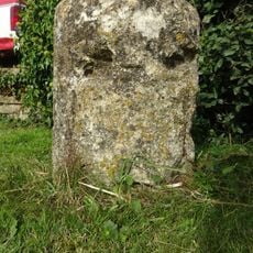
Milestone
1.6 km
Northfield Barn and adjoining shelter shed
2.9 km
Windrush Mill
502 m
Pair Of Adjoining Barns Circa 4 Metres West Of Stable Block At Greendrive Farmhouse
1.2 km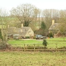
2, Minnow Lane
1.7 km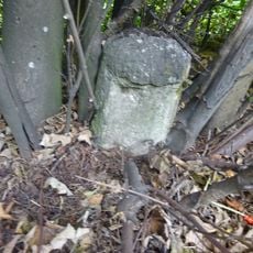
Milestone
2.9 km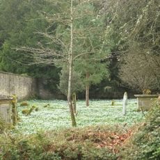
Walled Garden East Of The Church Of St Mary, Barrington Park
1.3 km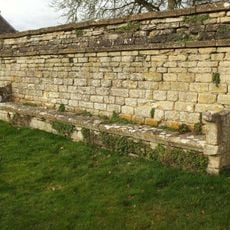
Wall Incorporating Stone Seat Forming The Northern Boundary To The Churchyard Of The Church Of St Mary
1.3 km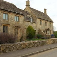
The Hollies
1.8 km
Dunford House
1.4 km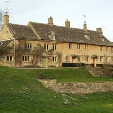
Green Close
1.2 km
The Old Forge
1.3 km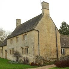
Village Farmhouse
1.3 km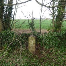
Milestone, E of Barrington; W of Hollowbarn Farm
3 km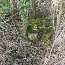
Milestone, Cat's Alley Barn, opp. jct to Westwell
3 kmHeeft u deze plek bezocht? Tik op de sterren om een beoordeling te geven en uw ervaring of foto's te delen met de community! Probeer het nu! U kunt het op elk moment annuleren.
Ontdek verborgen schatten op elk avontuur!
Van karakteristieke kleine cafeetjes tot geheime uitzichtpunten – ontvlucht de drukte en vind plekken die echt bij jou passen. Onze app maakt het makkelijk: spraakzoekopdrachten, slimme filters, geoptimaliseerde routes en authentieke tips van reizigers wereldwijd. Download nu en beleef het avontuur op je smartphone!

Een nieuwe benadering van toeristische ontdekking❞
— Le Figaro
Alle plekken die de moeite waard zijn om te ontdekken❞
— France Info
Een uitstapje op maat in slechts een paar klikken❞
— 20 Minutes