
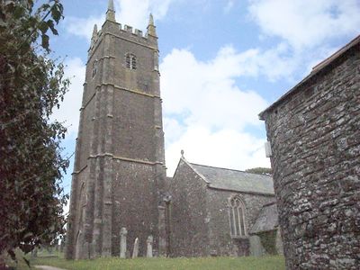
Church of St George, kerkgebouw
Locatie: Monkleigh
Ontstaan: 15e eeuw
GPS-coördinaten: 50.96520,-4.19793
Laatste update: 3 maart 2025 om 03:11
Annery, Monkleigh
1.7 km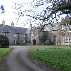
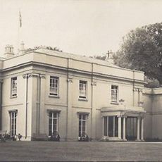
Orleigh Court
3.2 km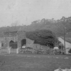
Annery kiln
2.2 km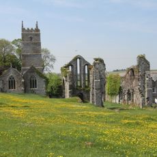
Frithelstock Priory
1.3 km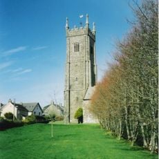
Church of St Mary and St Benedict
3.9 km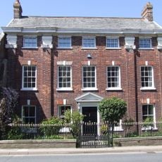
Palmer House
4 km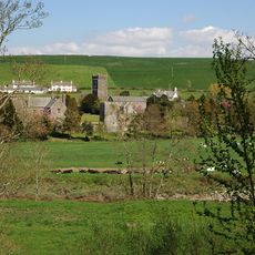
Weare Giffard Hall
1.7 km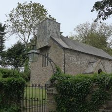
Church of Holy Trinity
3.2 km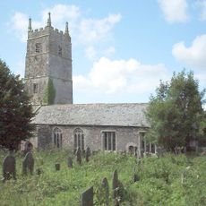
Church of St Mary and St Gregory
1.3 km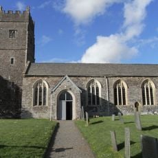
Church of the Holy Trinity
1.7 km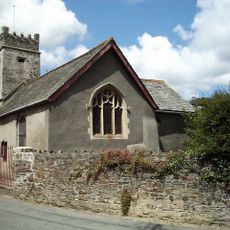
Chapel Of St Mary Magdalene
3.7 km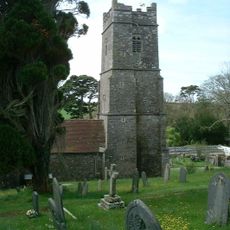
Church of St Swithun
3.1 km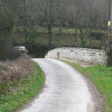
Mill Bridge
2.8 km
Ruins of Priory Church
1.3 km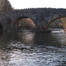
Taddiport Bridge
3.6 km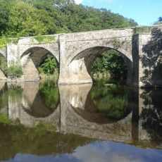
Rothern Bridge
2.4 km
Cottage At Ss47902152 Attached To Marshbrook Cottage
2.3 km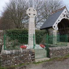
Buckland Brewer War Memorial
3.8 km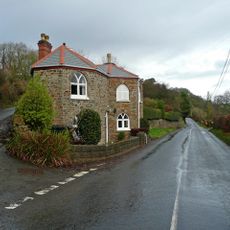
Old Toll
3 km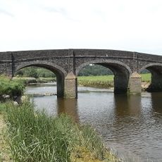
Halfpenny Bridge
2.3 km
Outbuilding Approx One M E Of Netherdowns Farmhouse
3.1 km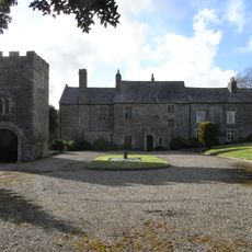
Gatehouse Approx 15m To Se Of Weare Giffard Hall
1.7 km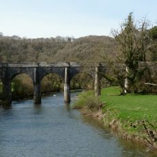
Beam Aqueduct
1.6 km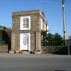
The Toll House (Former)
3.6 km
Dwelling Now Outbuilding Approx 50M E Of Netherdowns Farmhouse
3.1 km
Milestone, Tanton's Plain, 200m N of road constriction
3.7 km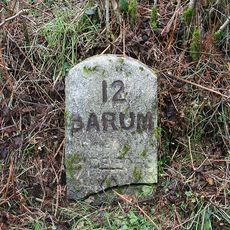
Milestone, 200m N of Huntshaw Mill Bridge
4 km
Milestone, N of Furze Farm
3.6 kmHeeft u deze plek bezocht? Tik op de sterren om een beoordeling te geven en uw ervaring of foto's te delen met de community! Probeer het nu! U kunt het op elk moment annuleren.
Ontdek verborgen schatten op elk avontuur!
Van karakteristieke kleine cafeetjes tot geheime uitzichtpunten – ontvlucht de drukte en vind plekken die echt bij jou passen. Onze app maakt het makkelijk: spraakzoekopdrachten, slimme filters, geoptimaliseerde routes en authentieke tips van reizigers wereldwijd. Download nu en beleef het avontuur op je smartphone!

Een nieuwe benadering van toeristische ontdekking❞
— Le Figaro
Alle plekken die de moeite waard zijn om te ontdekken❞
— France Info
Een uitstapje op maat in slechts een paar klikken❞
— 20 Minutes