
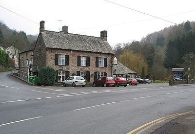
Royal George Hotel, hotel in het Verenigd Koninkrijk
Locatie: Tintern
Hoogte boven de zeespiegel: 13,1 m
E-mail: contactus@thewildharetintern.co.uk
Website: https://thewildharetintern.co.uk
GPS-coördinaten: 51.69805,-2.68204
Laatste update: 6 maart 2025 om 20:42
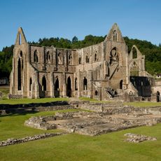
Tintern Abbey
349 m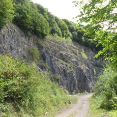
Tintern Quarry
2.7 km
The Hudnalls
2.9 km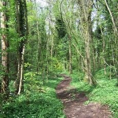
Shorn Cliff and Caswell Woods
1.2 km
Sylvan House Barn
2.3 km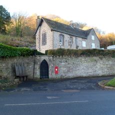
St Anne's House
294 m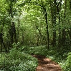
Lippets Grove
1.1 km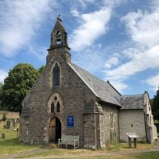
Church of St Michael
634 m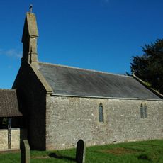
Church of St Mary
1.7 km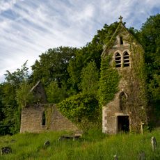
Former Church of St Mary
188 m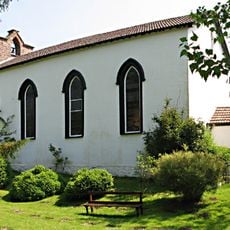
Moravian Chapel
1.3 km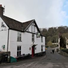
The Brockweir Inn
1.4 km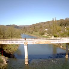
Brockweir Bridge
1.4 km
Phoenix House
1.4 km
The Anchor
261 m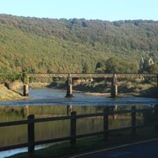
Old Tramway Bridge
180 m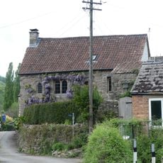
Malt House
1.4 km
Beaufort Pond Dam
2 km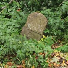
Milestone At Grid Reference St 559001
2.9 km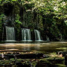
Retaining Wall/Dam of Holding Pond at the Old Wire Works
393 m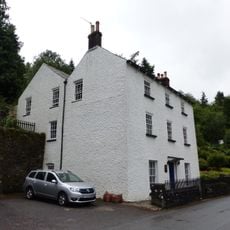
Crown Lodge
60 m
Manor House and adjoining house
1.4 km
Glen Wye
1.4 km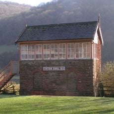
Signal Box at Tintern Station
927 m
Offa's Dyke: section in Danehill Wood, 300m west of East Vaga
2.9 km
Furnace Dam
1.4 km
Offa's Dyke: section in Shorncliff Wood including the Devil's Pulpit, 790m south west of Sheepcot
1.6 km
Offa's Dyke: section in Boatwood Plantation, 320m south west of Chase Farm
2.5 kmHeeft u deze plek bezocht? Tik op de sterren om een beoordeling te geven en uw ervaring of foto's te delen met de community! Probeer het nu! U kunt het op elk moment annuleren.
Ontdek verborgen schatten op elk avontuur!
Van karakteristieke kleine cafeetjes tot geheime uitzichtpunten – ontvlucht de drukte en vind plekken die echt bij jou passen. Onze app maakt het makkelijk: spraakzoekopdrachten, slimme filters, geoptimaliseerde routes en authentieke tips van reizigers wereldwijd. Download nu en beleef het avontuur op je smartphone!

Een nieuwe benadering van toeristische ontdekking❞
— Le Figaro
Alle plekken die de moeite waard zijn om te ontdekken❞
— France Info
Een uitstapje op maat in slechts een paar klikken❞
— 20 Minutes