
Kirk Ireton, plaats in Derbyshire
Locatie: Derbyshire Dales
Grenst aan: Callow, Hognaston, Biggin by Hulland, Idridgehay and Alton
GPS-coördinaten: 53.05500,-1.60300
Laatste update: 5 maart 2025 om 07:05
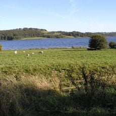
Carsington Water
1.9 km
Carsington Water Visitor Centre
2.6 km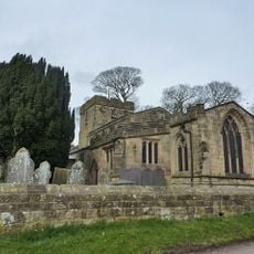
Holy Trinity Church, Kirk Ireton
747 m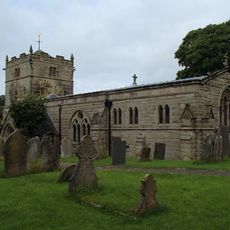
Church of St Bartholomew
3.2 km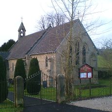
Church of St Phillip and St James
4.3 km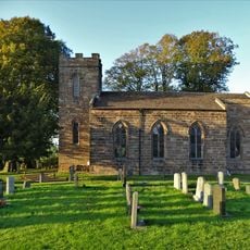
Christ Church
3.9 km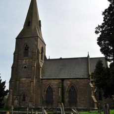
Church of St James
2.7 km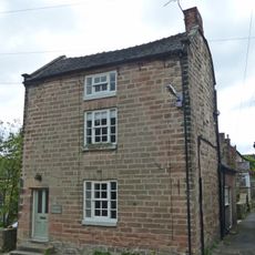
House South West Of Churchyard Gates
782 m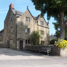
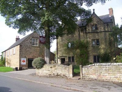
The Barley Mow Inn
806 m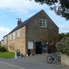
Outbuildings And Former Outbuildings To The West Of The Barley Mow Inn
813 m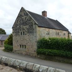
Church Farmhouse
748 m
Upperfield Farmhouse And Adjoining Barn To The West
1.3 km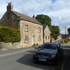
House To The South West Of Green Farm
760 m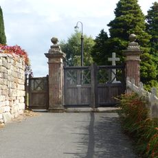
The Gate Piers To Holy Trinity Churchyard
770 m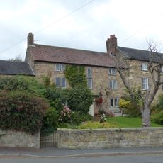
The Manor House
766 m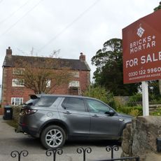
Green Farmhouse
730 m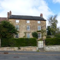
Northfield Farmhouse And Garden Wall
765 m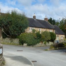
Buxton Hall Farmhouse
760 m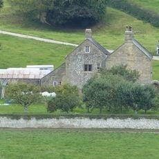
Callow Hall
888 m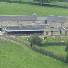
Callow Hall Barns
916 m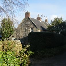
Prospect House
852 m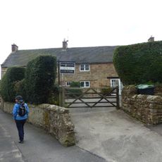
Rose Bank
813 m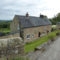
Farmhouse And Attached Outbuildings To The South Of Well Banks
990 m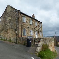
Well Banks (at the junction of Well Banks and Nether Lane)
955 m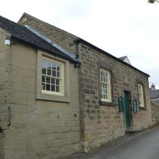
Methodist Sunday School
875 m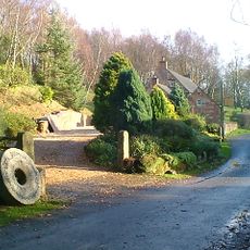
Blackwall Farmhouse
1.8 km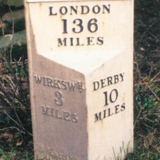
Milepost, near Idridgehay Church
2.7 km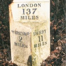
Milepost, Alton Manor
1.8 kmBeoordelingen
Heeft u deze plek bezocht? Tik op de sterren om een beoordeling te geven en uw ervaring of foto's te delen met de community! Probeer het nu! U kunt het op elk moment annuleren.
Ontdek verborgen schatten op elk avontuur!
Van karakteristieke kleine cafeetjes tot geheime uitzichtpunten – ontvlucht de drukte en vind plekken die echt bij jou passen. Onze app maakt het makkelijk: spraakzoekopdrachten, slimme filters, geoptimaliseerde routes en authentieke tips van reizigers wereldwijd. Download nu en beleef het avontuur op je smartphone!

Een nieuwe benadering van toeristische ontdekking❞
— Le Figaro
Alle plekken die de moeite waard zijn om te ontdekken❞
— France Info
Een uitstapje op maat in slechts een paar klikken❞
— 20 Minutes