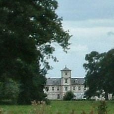
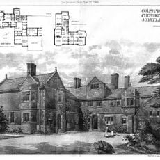
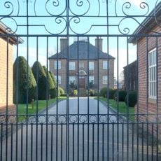
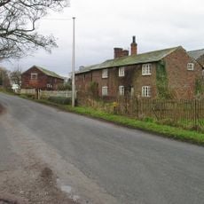
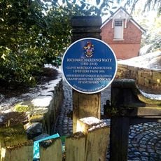
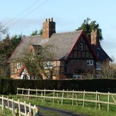
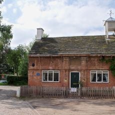
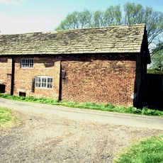
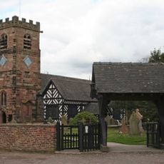
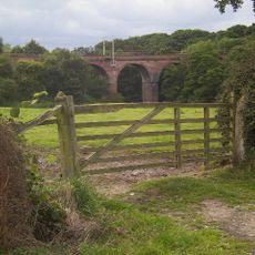
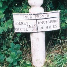
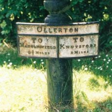
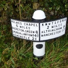
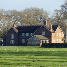
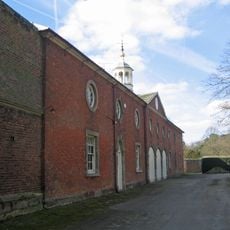
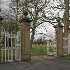
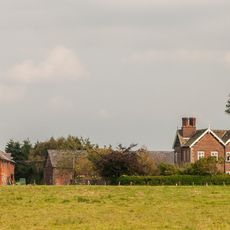
Peover Superior, civil parish in Cheshire East, UK
Locatie: Cheshire East
Grenst aan: Goostrey, Allostock, Lower Withington, Marthall
GPS-coördinaten: 53.26500,-2.34500
Laatste update: 4 maart 2025 om 15:25
Peover Hall
790 m
Toft Hall
2.7 km
Colshaw Hall
1.1 km
Jodrell Bank
3.6 km
St Oswald's Church
2.8 km
St Lawrence's Church, Over Peover
767 m
St.Oswald's Church, Padgate
2.8 km
St John the Evangelist's Church, Toft
2.7 km
Bexton Hall
3.5 km
Ollerton Hall
2.3 km
Peover Hall Stable Block
883 m
The Bells of Peover public house
2.8 km
Cross base and cross in churchyard of Church of St Lawrence
786 m
Townfield Farm House
3 km
Sundial in churchyard of Church of St Lawrence
775 m
The Old Croft
3.6 km
Winterbottom Farmhouse
3.1 km
The Old School House
2.8 km
Bate Mill (Disused Water Mill)
3.5 km
Lychgate, St Oswald's Churchyard
2.8 km
Peover Viaduct
3.3 km
Mile Post
2 km
Mile Post
2.6 km
Milepost
1.5 km
Barnshaw Hall
2.7 km
The Coach House, Peover Hall
884 m
Gatepiers and gates circa 20 yards north east of The Old Stable Block, Peover Hall
910 m
Crook Hall
2.7 kmHeeft u deze plek bezocht? Tik op de sterren om een beoordeling te geven en uw ervaring of foto's te delen met de community! Probeer het nu! U kunt het op elk moment annuleren.
Ontdek verborgen schatten op elk avontuur!
Van karakteristieke kleine cafeetjes tot geheime uitzichtpunten – ontvlucht de drukte en vind plekken die echt bij jou passen. Onze app maakt het makkelijk: spraakzoekopdrachten, slimme filters, geoptimaliseerde routes en authentieke tips van reizigers wereldwijd. Download nu en beleef het avontuur op je smartphone!
Een nieuwe benadering van toeristische ontdekking❞
— Le Figaro
Alle plekken die de moeite waard zijn om te ontdekken❞
— France Info
Een uitstapje op maat in slechts een paar klikken❞
— 20 Minutes