
Church of St Thomas, kerkgebouw in Orchard Portman, Verenigd Koninkrijk
Locatie: Orchard Portman
Ontstaan: 12e eeuw
GPS-coördinaten: 50.98470,-3.04722
Laatste update: 5 maart 2025 om 08:34

Taunton Stop Line
3.7 km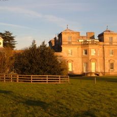
Hatch Court
4.1 km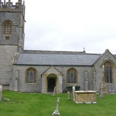
Church of St John the Baptist, Hatch Beauchamp
4 km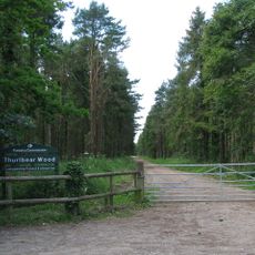
Thurlbear Wood and Quarrylands
429 m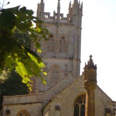
Church of St Peter, Staple Fitzpaine
2.9 km
Church of St Mary
1.2 km
Church of the Holy Cross, Thornfalcon
3.3 km
Church of St George
4 km
Church of St Nicholas
3.6 km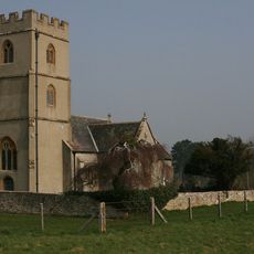
St Michael's Church
2.3 km
The Greyhound Inn
2.7 km
Church of St Andrew
1.9 km
Henlade House
2.1 km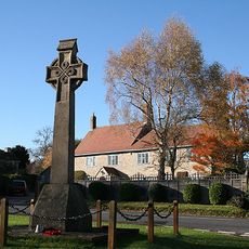
Corfe War Memorial
3.7 km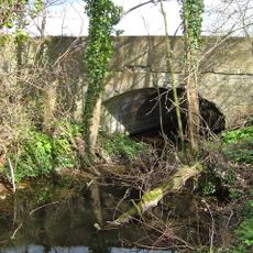
Former Canal Bridge North East Of Lower Farmhouse
3.4 km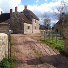
Manor Farmhouse
3.1 km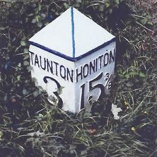
Milepost At Ngr St 2355 2057
3.1 km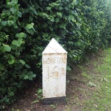
Milepost At Ngr St 2411 2205
2.6 km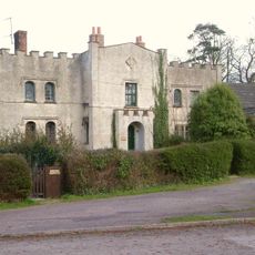
The Battlements
2.8 km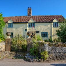
Tuckers
1.2 km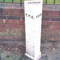
Cast Iron Triangular Boundary Post Outside No 47 Shoreditch Road
3.3 km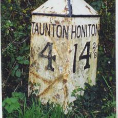
Milepost At Ngr St 2327 1904
3.9 km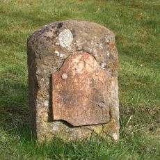
Milestone At Ngr St 2641 1833
2.8 km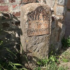
Milestone At Ngr St 2436 2220
2.5 km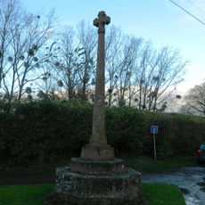
Village Cross At Ngr St 2818 2381
3.1 km
Ashe Farmhouse
2 km
Stable Block About 100 Metres East Of Henlade House
2.1 km
The Thatch
2.2 kmHeeft u deze plek bezocht? Tik op de sterren om een beoordeling te geven en uw ervaring of foto's te delen met de community! Probeer het nu! U kunt het op elk moment annuleren.
Ontdek verborgen schatten op elk avontuur!
Van karakteristieke kleine cafeetjes tot geheime uitzichtpunten – ontvlucht de drukte en vind plekken die echt bij jou passen. Onze app maakt het makkelijk: spraakzoekopdrachten, slimme filters, geoptimaliseerde routes en authentieke tips van reizigers wereldwijd. Download nu en beleef het avontuur op je smartphone!

Een nieuwe benadering van toeristische ontdekking❞
— Le Figaro
Alle plekken die de moeite waard zijn om te ontdekken❞
— France Info
Een uitstapje op maat in slechts een paar klikken❞
— 20 Minutes