
Wentnor, dorp in Verenigd Koninkrijk
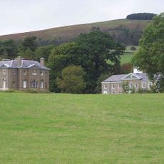
Linley Hall
3.7 km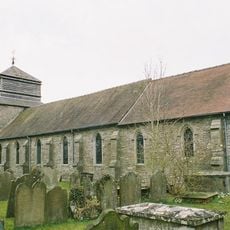
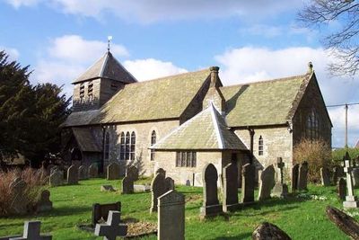
Church of St Peter
4.2 km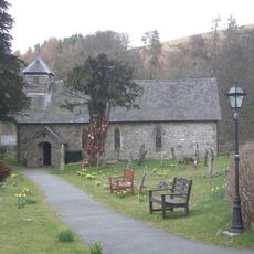
Church of St Margret
4.6 km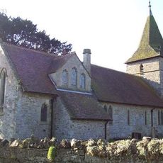
Church of All Saints
2 km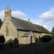
Church of the Holy Trinity
5.1 km
Church of St John the Baptist
3.3 km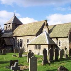
Church of St Michael
78 m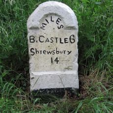
Milestone Approximately 50M North Of Upper Mill Farmhouse
1.4 km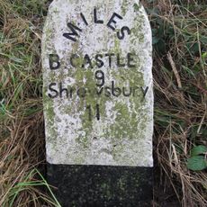
Milestone Approximately 200M North-West Of The Old School House
5.5 km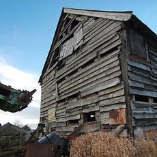
Barn approximately 60 metres to north-east of Lower Lea Farmhouse
4.7 km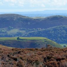
Bodbury Ring: a large univallate hillfort on the summit of Bodbury Hill.
6.5 km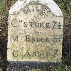
Milestone Approximately 170 Metres To South-West Of Eaton Bridge
3.4 km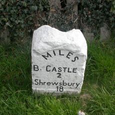
Milestone Approximately 470 Metres To North Of Junction Of A489 With B4383
4.3 km
Stables At Linley Hall
3.7 km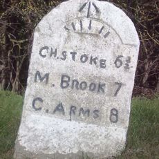
Milestone Approximately 1,000 Metres To North-East Of Lea Castle
3.8 km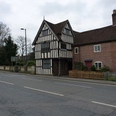
Lydham Castle
5.2 km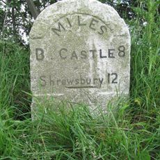
Milestone Approximately 120M North-East Of The Horse Shoe Inn
3.9 km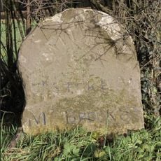
Milestone Approximately 230 Metres North West Of Junction Of A489 With B4383
4.6 km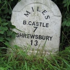
Milestone Approximately 300M North-East Of England Shelve Farmhouse
2.8 km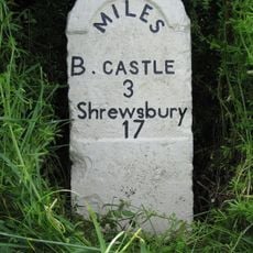
Milestone Approximately 130 Metres To South-West Of Greenfield Cottages
3.1 km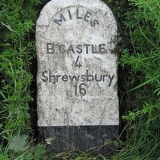
Milestone Approximately 15M North-West Of Quarry Cottages
1.9 km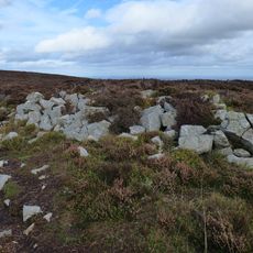
Tor cairn on Stiperstones, 130m SSE of Manstone Rock.
6 km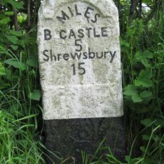
Milestone Approximately 150M South Of Walkmill Bridge
490 m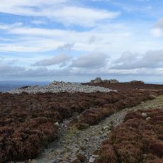
Round cairn on Stiperstones, 350m SSW of the Devil's Chair
6.3 km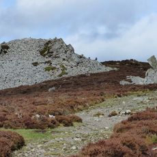
Round cairn on Stiperstones, 150m south of Manstone Rock.
6 km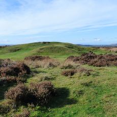
Shooters Hut disc barrow, 1500m south-west of Duckley Nap.
4.6 km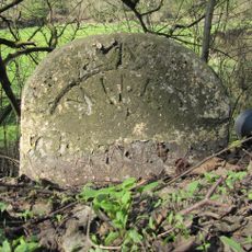
Milestone, Myndmill; N of Eyton jcn
4.5 km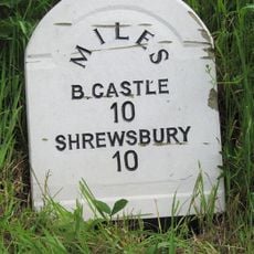
Milestone, New Leasowes Farm
7 kmHeeft u deze plek bezocht? Tik op de sterren om een beoordeling te geven en uw ervaring of foto's te delen met de community! Probeer het nu! U kunt het op elk moment annuleren.
Ontdek verborgen schatten op elk avontuur!
Van karakteristieke kleine cafeetjes tot geheime uitzichtpunten – ontvlucht de drukte en vind plekken die echt bij jou passen. Onze app maakt het makkelijk: spraakzoekopdrachten, slimme filters, geoptimaliseerde routes en authentieke tips van reizigers wereldwijd. Download nu en beleef het avontuur op je smartphone!

Een nieuwe benadering van toeristische ontdekking❞
— Le Figaro
Alle plekken die de moeite waard zijn om te ontdekken❞
— France Info
Een uitstapje op maat in slechts een paar klikken❞
— 20 Minutes