
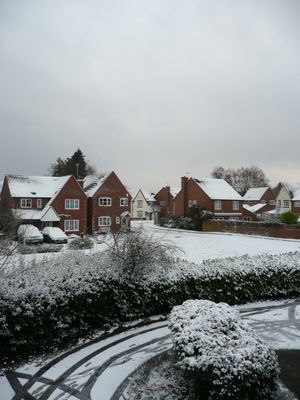
Liss, plaats in Hampshire
Locatie: East Hampshire
Hoogte boven de zeespiegel: 15 m
Website: https://lissparishcouncil.gov.uk
GPS-coördinaten: 51.04278,-0.89194
Laatste update: 3 maart 2025 om 14:44
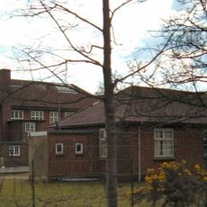
Bordon and Longmoor Military Camps
3.7 km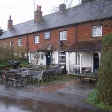
The Harrow
3.7 km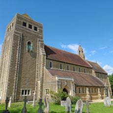
Church of St Mary
386 m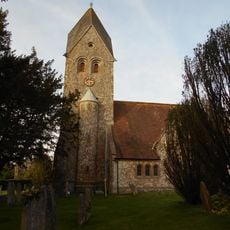
Church of St Peter and St Paul
3.5 km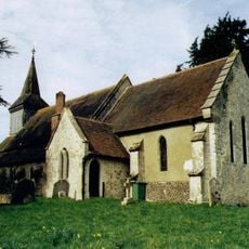
Church of the Holy Rood
4.4 km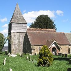
Church of St Peter
1.3 km
Old Church of St John
2.7 km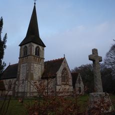
Church of St John the Baptist
2.8 km
Church of All Saints
4 km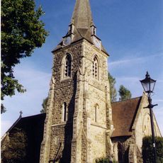
Church of St Mary Magdalene
3.6 km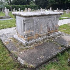
Table Tomb 3 Metres South Of The Church
1.2 km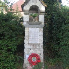
War Memorial on the Corner of Mill Lane and Church Road
4.3 km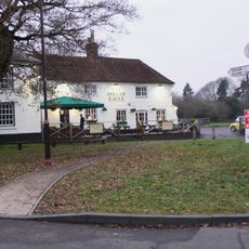
Spread Eagle Public House
1.1 km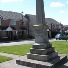
Liss War Memorial
107 m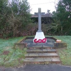
Rake War Memorial
2.6 km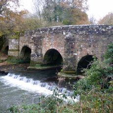
Durford Bridge
4.4 km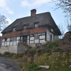
Mabbotts Farmhouse
3.5 km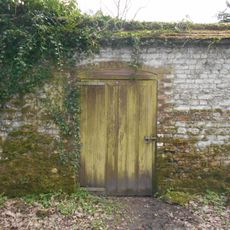
Kitchen Garden Wall Extending Eastwards From The Coach House
4.2 km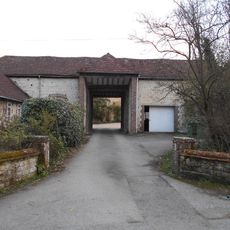
Gateway To Ashford Chase
4 km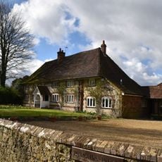
Parsons Piece
3.6 km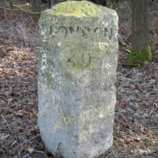
Milestone On South Side Of The B2070 London Road, Immediately East Of Entrance To Sussex Gate
1.9 km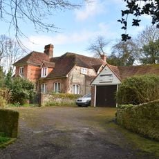
Hill Place
4.3 km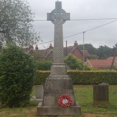
Liss WWI Memorial
388 m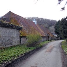
Coachhouse To Old Ashford Manor
4.2 km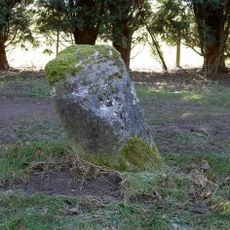
Milestone, Coldharbour Park Farm
3.1 km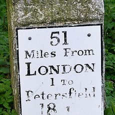
Milestone, London Road, by No. 21, E of roundabout
4 km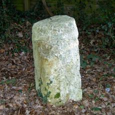
Milestone, London Road, Highfield Wood; by 'Milestone' house
1.9 km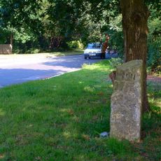
Milestone, The Shrubs
1.8 kmBeoordelingen
Heeft u deze plek bezocht? Tik op de sterren om een beoordeling te geven en uw ervaring of foto's te delen met de community! Probeer het nu! U kunt het op elk moment annuleren.
Ontdek verborgen schatten op elk avontuur!
Van karakteristieke kleine cafeetjes tot geheime uitzichtpunten – ontvlucht de drukte en vind plekken die echt bij jou passen. Onze app maakt het makkelijk: spraakzoekopdrachten, slimme filters, geoptimaliseerde routes en authentieke tips van reizigers wereldwijd. Download nu en beleef het avontuur op je smartphone!

Een nieuwe benadering van toeristische ontdekking❞
— Le Figaro
Alle plekken die de moeite waard zijn om te ontdekken❞
— France Info
Een uitstapje op maat in slechts een paar klikken❞
— 20 Minutes