
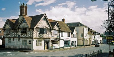
Southam, Warwickshire
Locatie: Stratford-on-Avon
GPS-coördinaten: 52.25200,-1.39000
Laatste update: 18 maart 2025 om 23:27
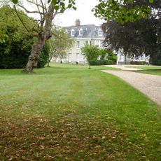
Ladbroke Hall
3 km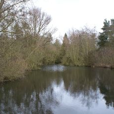
Ufton Fields
3.8 km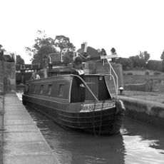
Bascote Locks
3.4 km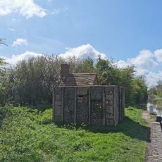
PILLBOX (TYPE FW3/26), Lock No.10 (Oxford Canal), Chapel Green, near Napton on the Hill.
4.2 km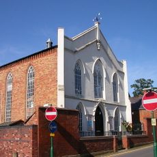
Congregational Church
243 m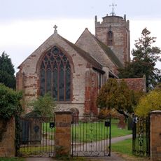
Church of the Holy Trinity
3.5 km
Church of All Saints
4.6 km
Church of All Saints
2.8 km
Church of St James
77 m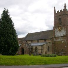
Church of St Michael
2.8 km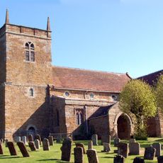
Church of St Lawrence
4.6 km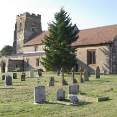
Church of St Michael
3.9 km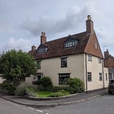
Church House
4.5 km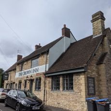
The Crown Inn
4.5 km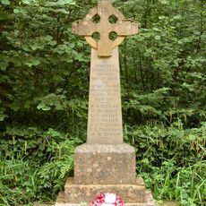
Bascote Heath And Stoneythorpe War Memorial
2.7 km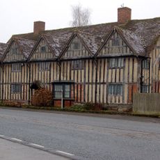
Tudor House
3.5 km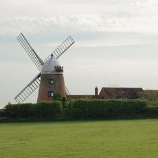
Napton Windmill
4.1 km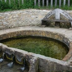
'The Holy Well'
749 m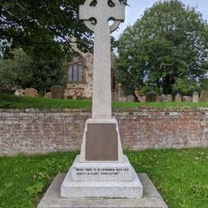
Harbury War Memorial
4.6 km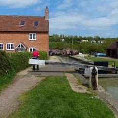
Napton Bottom Lock, Oxford Canal
4.2 km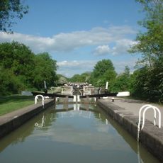
Grand Union Canal, Stockton Locks, To The East Of Bridge Number 23 (Not Included)
3.4 km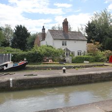
Grand Union Canal, Shop Lock Approximately 7 Metres North Of Cottage Number 221
3.1 km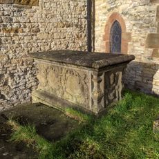
Chest Tomb Approximately 0.5 Metres East Of South Aisle Of Church Of All Saints
4.6 km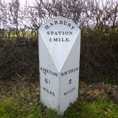
Milestone At National Grid Reference Sp 3928 5935
3.3 km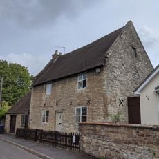
The Homestead
4.5 km
The Old Rectory
2.9 km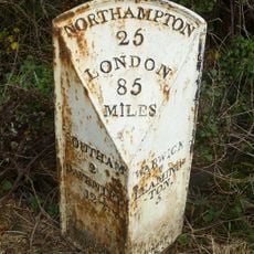
Milepost, 60m W of jct with B4452
3.1 km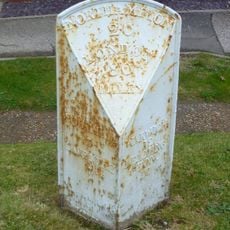
Milepost, in front of Middle Cottage
4.5 kmHeeft u deze plek bezocht? Tik op de sterren om een beoordeling te geven en uw ervaring of foto's te delen met de community! Probeer het nu! U kunt het op elk moment annuleren.
Ontdek verborgen schatten op elk avontuur!
Van karakteristieke kleine cafeetjes tot geheime uitzichtpunten – ontvlucht de drukte en vind plekken die echt bij jou passen. Onze app maakt het makkelijk: spraakzoekopdrachten, slimme filters, geoptimaliseerde routes en authentieke tips van reizigers wereldwijd. Download nu en beleef het avontuur op je smartphone!

Een nieuwe benadering van toeristische ontdekking❞
— Le Figaro
Alle plekken die de moeite waard zijn om te ontdekken❞
— France Info
Een uitstapje op maat in slechts een paar klikken❞
— 20 Minutes