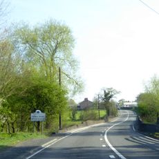
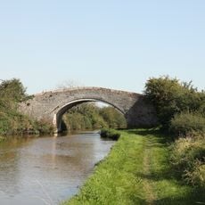
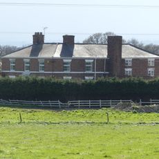
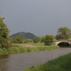
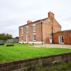
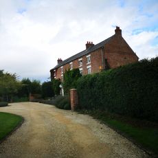
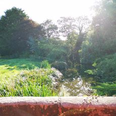
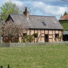
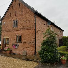
Tattenhall, plaats in Cheshire
Locatie: Tattenhall and District
Locatie: Cheshire West and Chester
GPS-coördinaten: 53.12000,-2.76000
Laatste update: 17 maart 2025 om 05:03
Bolesworth Castle
2.4 km
Tattenhall Hall
618 m
St Alban's Church, Tattenhall
637 m
All Saints Church, Handley
2.6 km
All Saints Church, Harthill
3.2 km
St John's Church, Burwardsley
3 km
Golborne Old Hall
3.3 km
Golborne Bridge And Parapet Walls 40 Metres To South
3.2 km
Dutton's Bridge
2.3 km
Well House Farmhouse
2.9 km
Canal Bridge No 111 Williamsons Bridge
2.8 km
Tattenhall, Newton and Golborne Bellow War Memorial
627 m
Barbour Mausoleum in All Saints Churchyard
3.2 km
Langford House
2.6 km
Milton Green Farmhouse
3.1 km
Halfway House Milestone
3.4 km
Boundary stone at north end of Golborne Bridge
3.2 km
Sundial in Church of St Alban's churchyard
630 m
Causeway over moat at Hatton Hall
3.4 km
Russia Hall
1.8 km
Hatton Hall moated site
3.4 km
School and schoolmaster's house
3.2 km
Chowley Lodge
2.4 km
Boundary Stone
1.7 km
Pump Cottage, Aldersey
3.4 km
Fountain in front of the School
3.2 km
Corn Barn 30 Metres North Of Golborne Old Hall
3.3 km
Lowerhill Farmhouse
2.8 kmHeeft u deze plek bezocht? Tik op de sterren om een beoordeling te geven en uw ervaring of foto's te delen met de community! Probeer het nu! U kunt het op elk moment annuleren.
Ontdek verborgen schatten op elk avontuur!
Van karakteristieke kleine cafeetjes tot geheime uitzichtpunten – ontvlucht de drukte en vind plekken die echt bij jou passen. Onze app maakt het makkelijk: spraakzoekopdrachten, slimme filters, geoptimaliseerde routes en authentieke tips van reizigers wereldwijd. Download nu en beleef het avontuur op je smartphone!
Een nieuwe benadering van toeristische ontdekking❞
— Le Figaro
Alle plekken die de moeite waard zijn om te ontdekken❞
— France Info
Een uitstapje op maat in slechts een paar klikken❞
— 20 Minutes