
Honeymoon Bay Ecological Reserve, ecological reserve in British Columbia, Canada
Locatie: Cowichan Valley Regional District
GPS-coördinaten: 48.82917,-124.21250
Laatste update: 7 juni 2025 om 11:19
West Coast Trail
49.4 km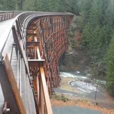
Kinsol Trestle
42.1 km
Juan de Fuca Marine Trail
40.2 km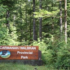
Carmanah Walbran Provincial Park
37.8 km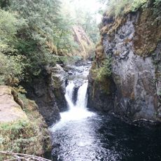
Englishman River Falls Provincial Park
47.6 km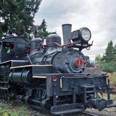
BC Forest Discovery Centre
36.6 km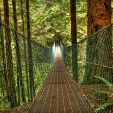
Juan de Fuca Provincial Park
38.8 km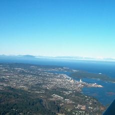
Newcastle Island Marine Provincial Park
45 km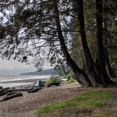
Sombrio Strand
37.3 km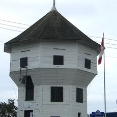
Bastion
42.7 km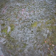
Petroglyph Provincial Park
40.5 km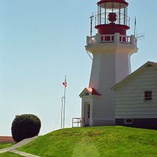
Carmanah Point Light Station
46.4 km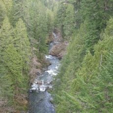
Koksilah River Provincial Park
41 km
Dionisio Point Provincial Park
51.1 km
Cable Bay Trail
43.4 km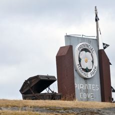
Pirates Cove Marine Provincial Park
46.4 km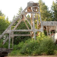
Morden Colliery Historic Provincial Park
39.3 km
Wakes Cove Provincial Park
49.7 km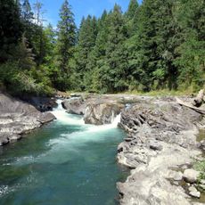
Cowichan River Provincial Park
24.1 km
Arbutus Grove Provincial Park
47.1 km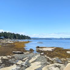
Gabriola Sands Provincial Park
48.1 km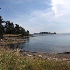
Drumbeg Provincial Park
50.7 km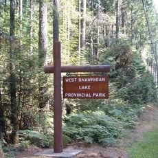
West Shawnigan Lake Provincial Park
46.3 km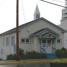
Christian Science Society
42.8 km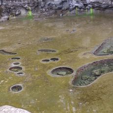
Tide Pools at Botanical Beach
37.9 km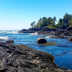
Botanical Beach
37.8 km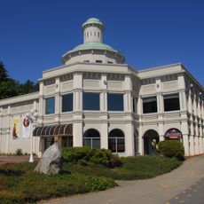
Chemainus Theatre
37.7 km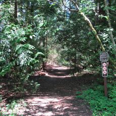
Yellow Point Bog Ecological Reserve
40 kmBeoordelingen
Heeft u deze plek bezocht? Tik op de sterren om een beoordeling te geven en uw ervaring of foto's te delen met de community! Probeer het nu! U kunt het op elk moment annuleren.
Ontdek verborgen schatten op elk avontuur!
Van karakteristieke kleine cafeetjes tot geheime uitzichtpunten – ontvlucht de drukte en vind plekken die echt bij jou passen. Onze app maakt het makkelijk: spraakzoekopdrachten, slimme filters, geoptimaliseerde routes en authentieke tips van reizigers wereldwijd. Download nu en beleef het avontuur op je smartphone!

Een nieuwe benadering van toeristische ontdekking❞
— Le Figaro
Alle plekken die de moeite waard zijn om te ontdekken❞
— France Info
Een uitstapje op maat in slechts een paar klikken❞
— 20 Minutes