Hay, locality in Western Australia
Locatie: Western Australia
Locatie: Shire of Denmark
GPS-coördinaten: -34.93189,117.40213
Laatste update: 12 juni 2025 om 17:36
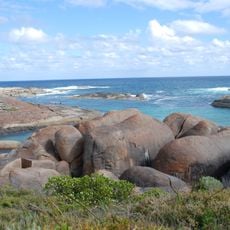
William Bay National Park
16.8 km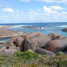
Elephant Rocks
18.5 km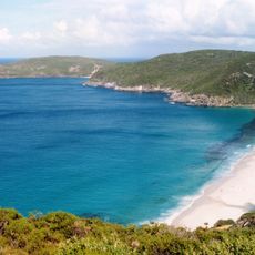
West Cape Howe National Park
26 km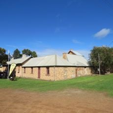
Albany Convict Gaol
44.9 km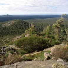
Mount Lindesay National Park
12.9 km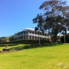
The Rocks
44.5 km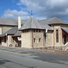
Albany Cottage Hospital
44.4 km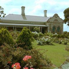
Pyrmont
44.9 km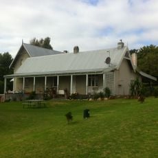
Camfield House
44.5 km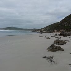
Anvil Beach
10.5 km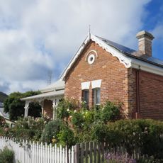
Conelma, Albany
44.9 km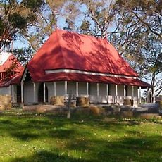
St Werburgh's Chapel and Cemetery
32.9 km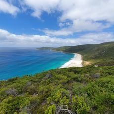
Shelley Beach
28.8 km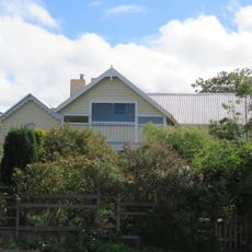
Wollaston House
44.8 km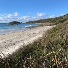
Cosy Corner Lookout
26.5 km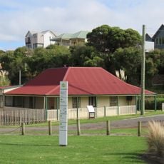
Mouchemore's Cottage and Net Shed, Albany
44.9 km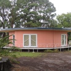
Round House, Mount Barker
42.4 km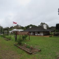
Police Station and Gaol Complex
42.2 km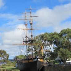
Amity (ship, 1976)
44.9 km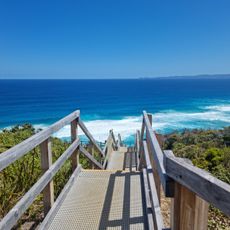
Sandpatch Beach Stairs
39.2 km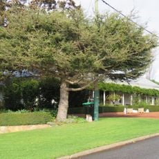
Melville House
44.8 km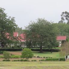
St Werburgh's Farm Buildings
32.4 km
Bornholm Beach
23.6 km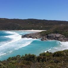
Lowlands Beach
18.9 km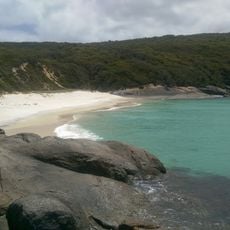
West Cape Howe
28.8 km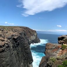
Dunksy Beach Track
30.2 km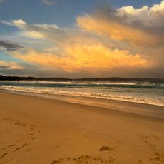
Ocean Beach
12.6 km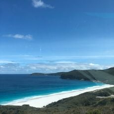
Dingo Beach
27.8 kmBeoordelingen
Heeft u deze plek bezocht? Tik op de sterren om een beoordeling te geven en uw ervaring of foto's te delen met de community! Probeer het nu! U kunt het op elk moment annuleren.
Ontdek verborgen schatten op elk avontuur!
Van karakteristieke kleine cafeetjes tot geheime uitzichtpunten – ontvlucht de drukte en vind plekken die echt bij jou passen. Onze app maakt het makkelijk: spraakzoekopdrachten, slimme filters, geoptimaliseerde routes en authentieke tips van reizigers wereldwijd. Download nu en beleef het avontuur op je smartphone!

Een nieuwe benadering van toeristische ontdekking❞
— Le Figaro
Alle plekken die de moeite waard zijn om te ontdekken❞
— France Info
Een uitstapje op maat in slechts een paar klikken❞
— 20 Minutes
