
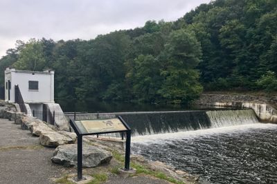
Saxton Falls Dam, dam in Verenigde Staten van Amerika
Locatie: Warren County
Locatie: Morris County
GPS-coördinaten: 40.88833,-74.79806
Laatste update: 10 maart 2025 om 11:30

Morris Canal
3.4 km
Jenny Jump State Forest
11.4 km
Hopatcong State Park
11.5 km
Rutherfurd Hall
3.2 km
Allamuchy Mountain State Park
3.9 km
Schooley's Mountain
6.6 km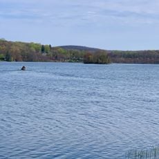
Lake Musconetcong
9.1 km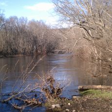
Stephens State Park
2.4 km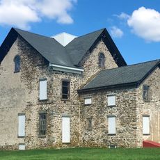
Seward Mansion
6.5 km
Turkey Brook Park
6.8 km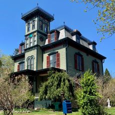
Jacob C. Allen House
4.9 km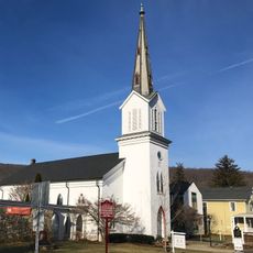
German Valley Historic District
11.6 km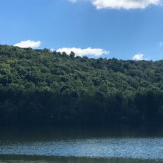
Allamuchy Mountain
5.7 km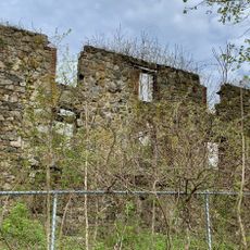
Plaster Mill
7.7 km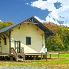
Allamuchy Freight House
5.2 km
Beattystown Historic District
9.1 km
Mount Bethel Methodist Church
11.2 km
Stanhope United Methodist Church
7.9 km
Mount Olive Village Historic District
6.8 km
Schooley's Mountain Historic District
9.7 km
Flocktown Schoolhouse
8.1 km
Johnsonburg Historic District
10.9 km
Landing Masonry Bridge
11.3 km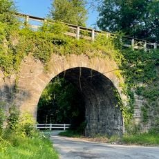
Hole in the Wall Stone Arch Bridge
10.5 km
Palace Theatre
8 km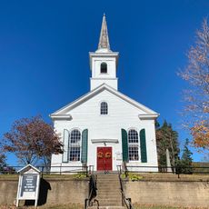
Waterloo Village United Methodist Church
4.5 km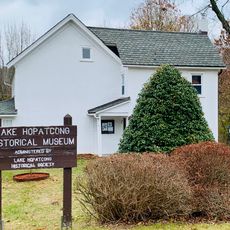
Lake Hopatcong Historical Museum
11.6 km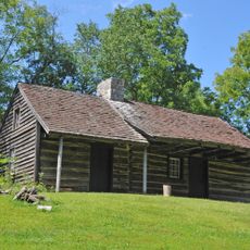
Rutan Log Cabin
4.8 kmHeeft u deze plek bezocht? Tik op de sterren om een beoordeling te geven en uw ervaring of foto's te delen met de community! Probeer het nu! U kunt het op elk moment annuleren.
Ontdek verborgen schatten op elk avontuur!
Van karakteristieke kleine cafeetjes tot geheime uitzichtpunten – ontvlucht de drukte en vind plekken die echt bij jou passen. Onze app maakt het makkelijk: spraakzoekopdrachten, slimme filters, geoptimaliseerde routes en authentieke tips van reizigers wereldwijd. Download nu en beleef het avontuur op je smartphone!

Een nieuwe benadering van toeristische ontdekking❞
— Le Figaro
Alle plekken die de moeite waard zijn om te ontdekken❞
— France Info
Een uitstapje op maat in slechts een paar klikken❞
— 20 Minutes