Twin Mountains, جبل في الولايات المتحدة
Locatie: Franklin County
GPS-coördinaten: 44.56089,-74.37350
Laatste update: 25 oktober 2025 om 16:19
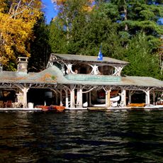
Camp Topridge
17.1 km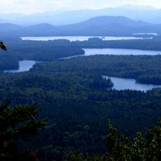
Saint Regis Canoe Area
17.1 km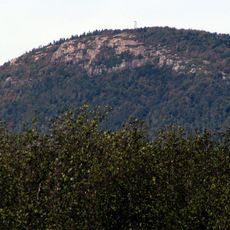
Azure Mountain
10.3 km
Saint Regis Mountain
17.3 km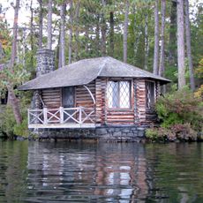
Camp Wild Air
18.7 km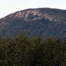
Debar Mountain Wild Forest
11.9 km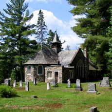
St. John's in the Wilderness Episcopal Church
16.7 km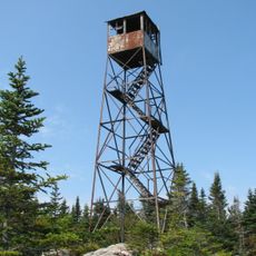
Loon Lake Mountain Fire Observation Station
17.6 km
Azure Mountain Fire Observation Station
10.3 km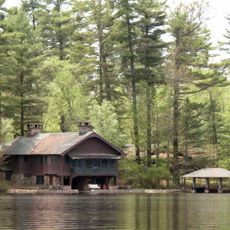
Northbrook Lodge
17.3 km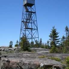
St. Regis Mountain Fire Observation Station
17.3 km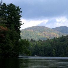
Saint Regis Pond
20.5 km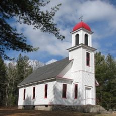
Duane Methodist Episcopal Church
13.7 km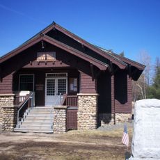
Brighton Town Hall
17.4 km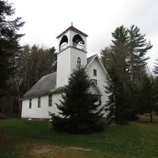
First Union Protestant Church of Mountain View
24.3 km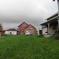
Hastings Farmstead
20.7 km
Six Nations Iroquois Cultural Center
22.4 km
Path to parking place (VIC)
15.6 km
Path to Disc Golf course
15.5 km
Path to Disc Golf course
15.6 km
BarkEater Disc Golf Course
15.7 km
Uitzichtpunt
16.8 km
Uitzichtpunt
17.3 km
Uitzichtpunt
15.3 km
Uitzichtpunt
15.7 km
Uitzichtpunt
17.3 km
Uitzichtpunt
17.4 km
Uitzichtpunt
16.6 kmBeoordelingen
Heeft u deze plek bezocht? Tik op de sterren om een beoordeling te geven en uw ervaring of foto's te delen met de community! Probeer het nu! U kunt het op elk moment annuleren.
Ontdek verborgen schatten op elk avontuur!
Van karakteristieke kleine cafeetjes tot geheime uitzichtpunten – ontvlucht de drukte en vind plekken die echt bij jou passen. Onze app maakt het makkelijk: spraakzoekopdrachten, slimme filters, geoptimaliseerde routes en authentieke tips van reizigers wereldwijd. Download nu en beleef het avontuur op je smartphone!

Een nieuwe benadering van toeristische ontdekking❞
— Le Figaro
Alle plekken die de moeite waard zijn om te ontdekken❞
— France Info
Een uitstapje op maat in slechts een paar klikken❞
— 20 Minutes