
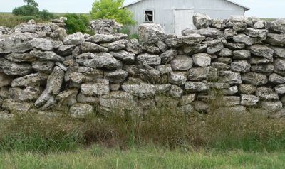
Texas Trail Stone Corral
Texas Trail Stone Corral, place in Nebraska listed on National Register of Historic Places
Locatie: Chase County
GPS-coördinaten: 40.59261,-101.62722
Laatste update: 23 september 2025 om 15:47

Lake McConaughy
70.8 km
Ash Hollow State Historical Park
88.8 km
O'Fallons Bluff
75.3 km
Wallace W. Waterman Sod House
76.3 km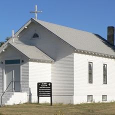
St. John's Evangelical Lutheran German Church and Cemetery
66.6 km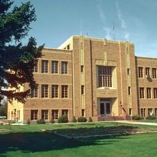
Sedgwick County Courthouse
69.4 km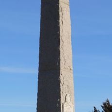
Massacre Canyon Historical Monument
70.7 km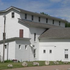
Champion Mill
17.2 km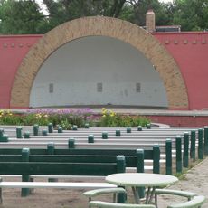
Grant City Park
29.5 km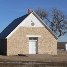
St. Paul's Methodist Protestant Church
87 km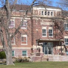
Dundy County Courthouse
60.9 km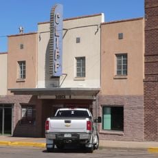
Cliff Theater
76.4 km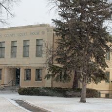
Phillips County Courthouse
57 km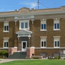
Deuel County Courthouse
90.3 km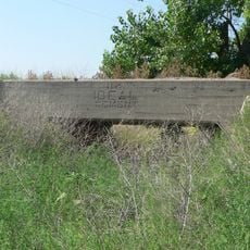
Ideal Cement bridge (Stratton, Nebraska)
61.4 km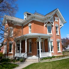
Leonidas A. Brandhoefer Mansion
60.7 km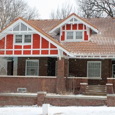
W. E. Heginbotham House
57.1 km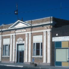
First National Bank of Haxtun
84.7 km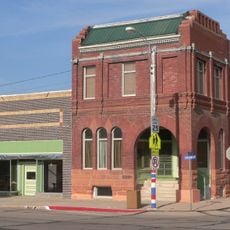
Grant Commercial Historic District
28.9 km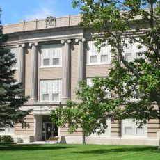
Perkins County Courthouse
28.9 km
Dr. Burdette and Myrna Gainsforth House
61.1 km
Johnston Memorial Building
47.8 km
Pinkie's Corner
17.3 km
Chase County Courthouse
8.1 km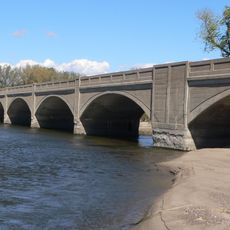
Sutherland State Aid Bridge
86.9 km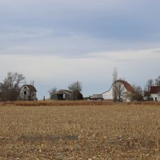
Millage Farm Rural Historic District
57.6 km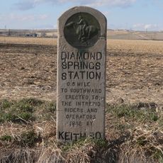
Diamond Springs Stage Station Site
59.1 km
Highland Precinct
70.7 kmBeoordelingen
Heeft u deze plek bezocht? Tik op de sterren om een beoordeling te geven en uw ervaring of foto's te delen met de community! Probeer het nu! U kunt het op elk moment annuleren.
Ontdek verborgen schatten op elk avontuur!
Van karakteristieke kleine cafeetjes tot geheime uitzichtpunten – ontvlucht de drukte en vind plekken die echt bij jou passen. Onze app maakt het makkelijk: spraakzoekopdrachten, slimme filters, geoptimaliseerde routes en authentieke tips van reizigers wereldwijd. Download nu en beleef het avontuur op je smartphone!

Een nieuwe benadering van toeristische ontdekking❞
— Le Figaro
Alle plekken die de moeite waard zijn om te ontdekken❞
— France Info
Een uitstapje op maat in slechts een paar klikken❞
— 20 Minutes