
Sunnyside, historic farm complex and national historic district located at Washington, Rappahannock County, Virginia, United States
Locatie: Rappahannock County
GPS-coördinaten: 38.74280,-78.16190
Laatste update: 11 maart 2025 om 13:51
Thornton Gap
16.5 km
Shenandoah River Raymond R. "Andy" Guest Jr. State Park
17.6 km
Battle Mountain
13 km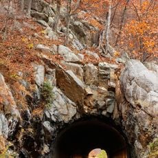
Marys Rock Tunnel
16.4 km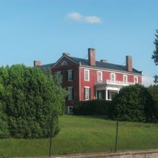
Ben Venue
8.8 km
Milford Battlefield
17.2 km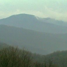
Pignut Mountain
9.3 km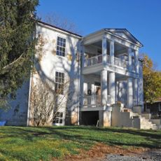
Mountain House
14.8 km
Front Royal Historic District
19.4 km
Neighbor Mountain
18 km
Balthis House
19.8 km
Sonner Hall
20.3 km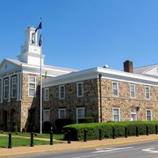
Warren County Courthouse
19.6 km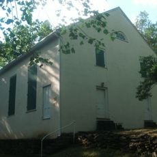
Mount Salem Baptist Meetinghouse
10.2 km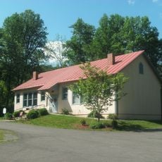
Scrabble School
17.7 km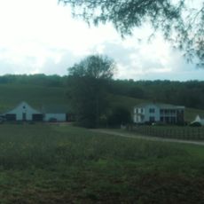
Meadow Grove Farm
9.9 km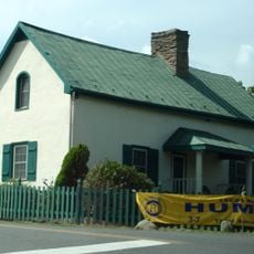
Hume Historic District
17.2 km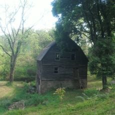
Calvert Mill/Washington Mill
3.5 km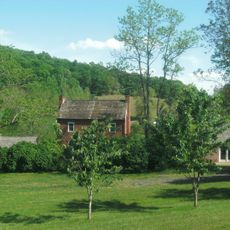
George L. Carder House
16.1 km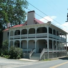
Sperryville Historic District
11.1 km
Washington Historic District (Washington, Virginia)
3.2 km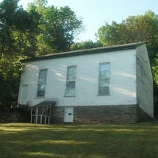
Ben Venue Rural Historic District
8.8 km
Locust Grove/R.E. Luttrell Farmstead
15.9 km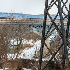
Page County Bridge No. 1990
17.7 km
Laurel Mills Historic District
12 km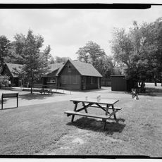
Elkwallow Wayside
12.8 km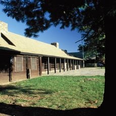
Dickey Ridge Visitor Center
14.8 km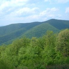
Knob Mountain
16.3 kmHeeft u deze plek bezocht? Tik op de sterren om een beoordeling te geven en uw ervaring of foto's te delen met de community! Probeer het nu! U kunt het op elk moment annuleren.
Ontdek verborgen schatten op elk avontuur!
Van karakteristieke kleine cafeetjes tot geheime uitzichtpunten – ontvlucht de drukte en vind plekken die echt bij jou passen. Onze app maakt het makkelijk: spraakzoekopdrachten, slimme filters, geoptimaliseerde routes en authentieke tips van reizigers wereldwijd. Download nu en beleef het avontuur op je smartphone!

Een nieuwe benadering van toeristische ontdekking❞
— Le Figaro
Alle plekken die de moeite waard zijn om te ontdekken❞
— France Info
Een uitstapje op maat in slechts een paar klikken❞
— 20 Minutes