
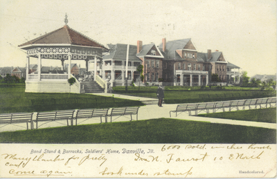
Danville Branch, National Home for Disabled Volunteer Soldiers Historic District
Danville Branch, National Home for Disabled Volunteer Soldiers Historic District, historic district in Illinois, United States
Locatie: Illinois
Architectuurstijl: Georgian architecture
GPS-coördinaten: 40.12440,-87.58750
Laatste update: 5 mei 2025 om 00:42
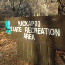
Kickapoo State Recreation Area
12.7 km
Portland Arch Nature Preserve
23.8 km
Danville National Cemetery
652 m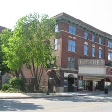
Fischer Theater
3.7 km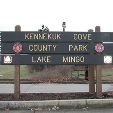
Kennekuk Cove County Park
14.9 km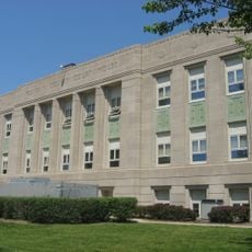
Fountain County Courthouse
16.3 km
Carnegie Library of Covington
16.5 km
Danville Public Library
3.6 km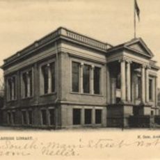
Paris Carnegie Public Library
28.7 km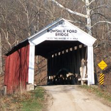
Bowsher Ford Covered Bridge
29.5 km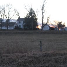
Asher Morton Farmstead
28.7 km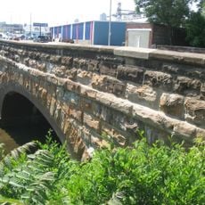
Stone Arch Bridge
2.6 km
Fithian House
4.2 km
First National Bank Building
3.6 km
Collins Archeological District
16.1 km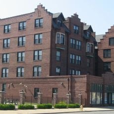
Holland Apartments
3.7 km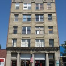
Adams Building
3.6 km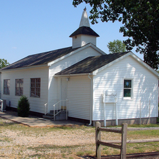
Williams Chapel
14.4 km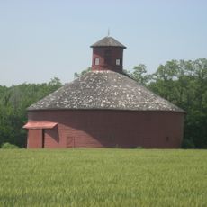
W. H. York Round Barn
25.9 km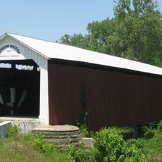
Eugene Covered Bridge
19.8 km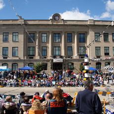
Vermillion County Courthouse
30.7 km
Fountain County Clerk's Building
16.3 km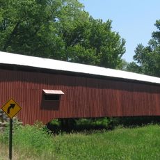
Newport Covered Bridge
29.1 km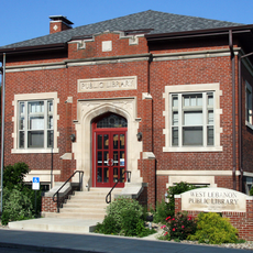
West Lebanon-Pike Township Public Library
23.7 km
Covington Courthouse Square Historic District
16.3 km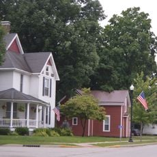
Covington Residential Historic District
16.4 km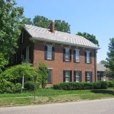
William C.B. Sewell House
16.5 km
Building at 210–212 West North Street
3.9 kmHeeft u deze plek bezocht? Tik op de sterren om een beoordeling te geven en uw ervaring of foto's te delen met de community! Probeer het nu! U kunt het op elk moment annuleren.
Ontdek verborgen schatten op elk avontuur!
Van karakteristieke kleine cafeetjes tot geheime uitzichtpunten – ontvlucht de drukte en vind plekken die echt bij jou passen. Onze app maakt het makkelijk: spraakzoekopdrachten, slimme filters, geoptimaliseerde routes en authentieke tips van reizigers wereldwijd. Download nu en beleef het avontuur op je smartphone!

Een nieuwe benadering van toeristische ontdekking❞
— Le Figaro
Alle plekken die de moeite waard zijn om te ontdekken❞
— France Info
Een uitstapje op maat in slechts een paar klikken❞
— 20 Minutes