
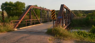
Lewellen State Aid Bridge
Lewellen State Aid Bridge, place in Nebraska listed on National Register of Historic Places
Locatie: Garden County
Architecten: Nebraska Department of Roads
GPS-coördinaten: 41.31750,-102.14300
Laatste update: 19 maart 2025 om 21:06
Lake McConaughy
37.1 km
Ash Hollow State Historical Park
2.9 km
Crescent Lake National Wildlife Refuge
48.7 km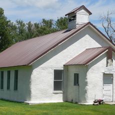
Pilgrim Holiness Church
47.3 km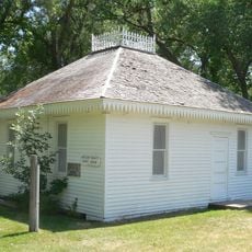
First Arthur County Courthouse and Jail
47.1 km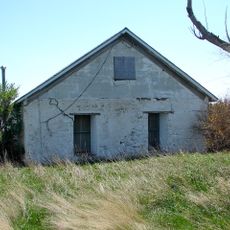
Wallace W. Waterman Sod House
15.4 km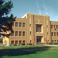
Sedgwick County Courthouse
38 km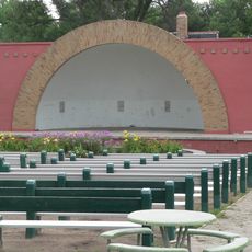
Grant City Park
63 km
Mud Springs Station Archeological District
75.3 km
Sioux Ordnance Depot Fire & Guard Headquarters
81.2 km
Rackett Grange Hall No. 318
39 km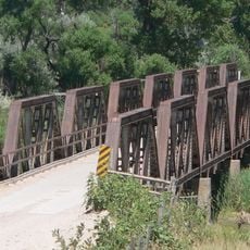
Lisco State Aid Bridge
44.6 km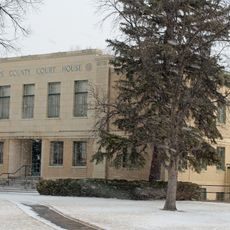
Phillips County Courthouse
82.7 km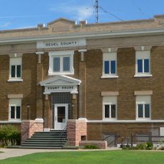
Deuel County Courthouse
37.1 km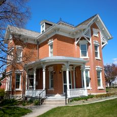
Leonidas A. Brandhoefer Mansion
40.9 km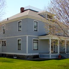
Fred and Minnie Meyer Sudman House
37 km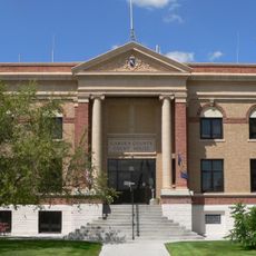
Garden County Courthouse
19.6 km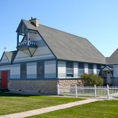
Christ Episcopal Church
72.4 km
W. E. Heginbotham House
83.1 km
Grant Commercial Historic District
63.6 km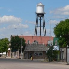
Oshkosh Water Tower
19.5 km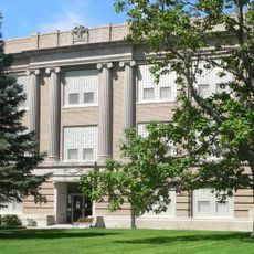
Perkins County Courthouse
63.5 km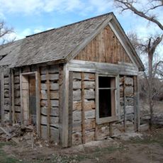
Schuetz Log Cabin
81.5 km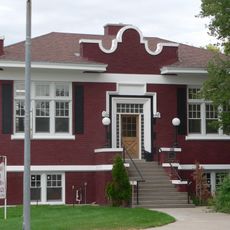
Sidney Carnegie Library
72.1 km
Dr. Burdette and Myrna Gainsforth House
40.8 km
District No. 119 North School
83.2 km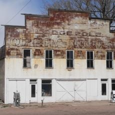
Lodgepole Opera House
45.6 km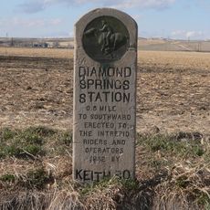
Diamond Springs Stage Station Site
33.1 kmBeoordelingen
Heeft u deze plek bezocht? Tik op de sterren om een beoordeling te geven en uw ervaring of foto's te delen met de community! Probeer het nu! U kunt het op elk moment annuleren.
Ontdek verborgen schatten op elk avontuur!
Van karakteristieke kleine cafeetjes tot geheime uitzichtpunten – ontvlucht de drukte en vind plekken die echt bij jou passen. Onze app maakt het makkelijk: spraakzoekopdrachten, slimme filters, geoptimaliseerde routes en authentieke tips van reizigers wereldwijd. Download nu en beleef het avontuur op je smartphone!

Een nieuwe benadering van toeristische ontdekking❞
— Le Figaro
Alle plekken die de moeite waard zijn om te ontdekken❞
— France Info
Een uitstapje op maat in slechts een paar klikken❞
— 20 Minutes