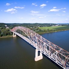
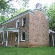
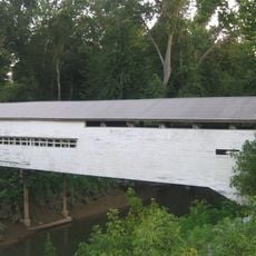
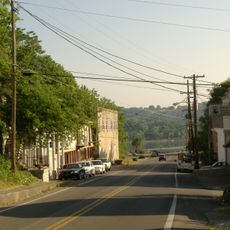
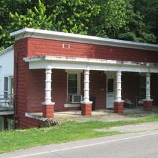
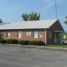
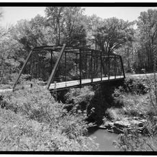
Union Township, township in Perry County, Indiana
Locatie: Perry County
Hoogte boven de zeespiegel: 116 m
Grenst aan: Oil Township
GPS-coördinaten: 38.06806,-86.51083
Laatste update: 8 maart 2025 om 02:12
Confederate Monument in Louisville
30.7 km
Wyandotte Caves
25.9 km
Cannelton Locks and Dam
25.4 km
O'Bannon Woods State Park
25.9 km
Matthew E. Welsh Bridge
28.1 km
Rockhouse Cliffs Rockshelters
5.9 km
Cannelton Cotton Mill
27 km
Harrison–Crawford State Forest
23.6 km
Bob Cummings – Lincoln Trail Bridge
27.5 km
Christ of the Ohio
26.4 km
Swan's Landing Archeological Site
22.4 km
Potts Creek Rockshelter
18.4 km
Jacob Rickenbaugh House
16.1 km
Huffman Mill Covered Bridge
23.7 km
Meade County Jail
30.9 km
St. Boniface Catholic Church
28.9 km
Joseph Holt House and Chapel
18.5 km
Irvington Historic District
28.7 km
Cannelton Historic District
26.8 km
Old Perry County Courthouse
16.1 km
Tell City Oddfellows' Hall
26.2 km
Edward Yeakel House
30.9 km
Hancock County Courthouse
28 km
Robert C. Beauchamp House
30.4 km
Brandenburg Commercial District
30.8 km
Jones-Willis House
30.8 km
Immaculate Conception Church
27.9 km
Mill Creek Bridge
10.6 kmHeeft u deze plek bezocht? Tik op de sterren om een beoordeling te geven en uw ervaring of foto's te delen met de community! Probeer het nu! U kunt het op elk moment annuleren.
Ontdek verborgen schatten op elk avontuur!
Van karakteristieke kleine cafeetjes tot geheime uitzichtpunten – ontvlucht de drukte en vind plekken die echt bij jou passen. Onze app maakt het makkelijk: spraakzoekopdrachten, slimme filters, geoptimaliseerde routes en authentieke tips van reizigers wereldwijd. Download nu en beleef het avontuur op je smartphone!
Een nieuwe benadering van toeristische ontdekking❞
— Le Figaro
Alle plekken die de moeite waard zijn om te ontdekken❞
— France Info
Een uitstapje op maat in slechts een paar klikken❞
— 20 Minutes