
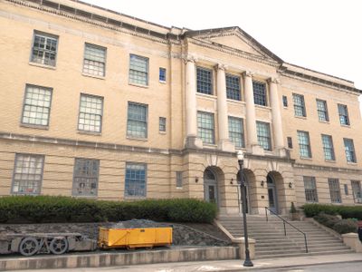
Municipal Building, gemeentehuis in West Virginia, Verenigde Staten van Amerika
Locatie: West Virginia
Architectuurstijl: Neoclassical architecture
GPS-coördinaten: 37.26780,-81.22280
Laatste update: 23 september 2025 om 16:10
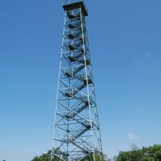
Big Walker Lookout
24.7 km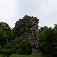
Pinnacle Rock State Park
8.4 km
Camp Creek State Park
27.5 km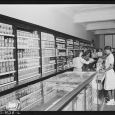
U.S. Coal and Coke Company Store
30.2 km
Walker Mountain Cluster
29.5 km
Beartown Wilderness
29.7 km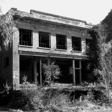
Pocahontas Fuel Company Store and Office Buildings
18 km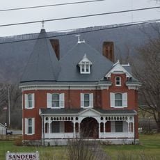
Walter McDonald Sanders House
4.6 km
Hancock House
918 m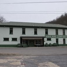
Ashland Company Store
19.6 km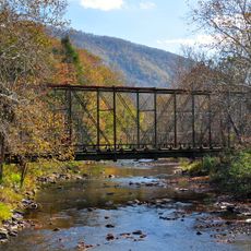
Wolf Creek Bridge (Rocky Gap, Virginia)
11.4 km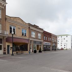
Mercer Street Historic District
16.5 km
Bramwell Historic District
9.9 km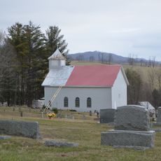
Sharon Lutheran Church and Cemetery
30.2 km
Alexander St. Clair House
9 km
Page Coal and Coke Company Store
23.3 km
Dr. Robert B. McNutt House
15.3 km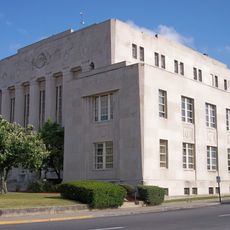
Mercer County Courthouse
15.2 km
Capt. James Moore Homestead
15.2 km
Dr. James W. Hale House
15.7 km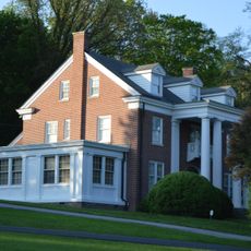
South Bluefield Historic District
1.3 km
Bramwell Additions Historic District
9.9 km
Pocahontas Historic District
11.5 km
Easley House
2.3 km
Junius Marcellus Updyke Farm
23.5 km
Mountaineer Bowling Lanes
2.6 km
Pocahontas Exhibition Coal Mine & Museum
11.8 km
James Ellwood Jones House
17.2 kmHeeft u deze plek bezocht? Tik op de sterren om een beoordeling te geven en uw ervaring of foto's te delen met de community! Probeer het nu! U kunt het op elk moment annuleren.
Ontdek verborgen schatten op elk avontuur!
Van karakteristieke kleine cafeetjes tot geheime uitzichtpunten – ontvlucht de drukte en vind plekken die echt bij jou passen. Onze app maakt het makkelijk: spraakzoekopdrachten, slimme filters, geoptimaliseerde routes en authentieke tips van reizigers wereldwijd. Download nu en beleef het avontuur op je smartphone!

Een nieuwe benadering van toeristische ontdekking❞
— Le Figaro
Alle plekken die de moeite waard zijn om te ontdekken❞
— France Info
Een uitstapje op maat in slechts een paar klikken❞
— 20 Minutes