
Lanesville, unincorporated community in Virginia
Locatie: King William County
GPS-coördinaten: 37.61470,-76.97860
Laatste update: 3 maart 2025 om 02:44
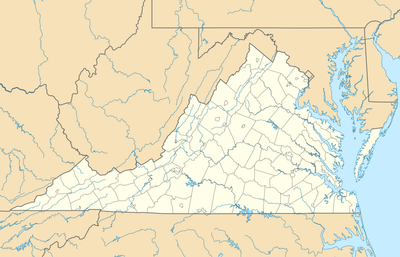
Elsing Green
6.5 km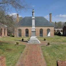
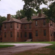
King William County Courthouse
8.7 km
Pamunkey Indian Tribe Museum
4.8 km
Chericoke
12.1 km
Immanuel Episcopal Church
21.2 km
Sweet Hall
8.3 km
Chelsea
13.3 km
King and Queen Courthouse Green Historic District
10.7 km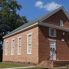
Emmaus Baptist Church
16.3 km
Northbank
18.8 km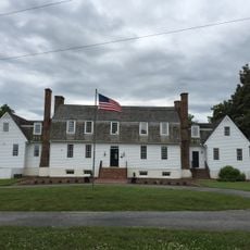
Windsor Shades
7.8 km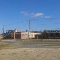
Former New Kent High School
17 km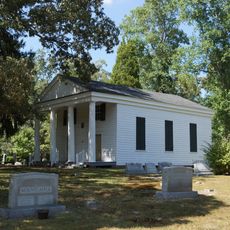
Olivet Presbyterian Church
16.8 km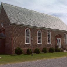
Upper Church, Stratton Major Parish
18.4 km
Fort Mattapony
13.1 km
Newington Archaeological Site
9.2 km
Spring Hill (Providence Forge, Virginia)
16.3 km
Cumberland
8.3 km
Spring Green (Mechanicsville, Virginia)
17.2 km
Clover Lea
18.5 km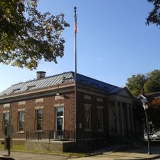
West Point Historic District
18.5 km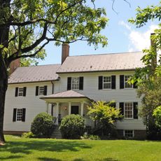
Marl Hill
10 km
Mount Columbia
21.5 km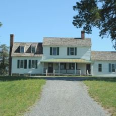
Cedar Lane
11 km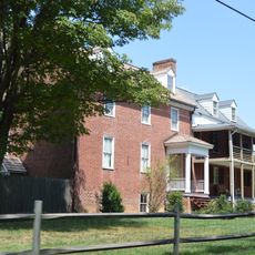
The Tavern at Old Church
21.7 km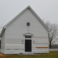
Lanesville Christadelphian Church
42 m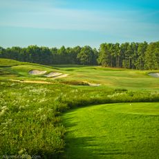
Royal New Kent Golf Club
16.1 km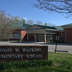
New Kent School and George W. Watkins School
17 kmHeeft u deze plek bezocht? Tik op de sterren om een beoordeling te geven en uw ervaring of foto's te delen met de community! Probeer het nu! U kunt het op elk moment annuleren.
Ontdek verborgen schatten op elk avontuur!
Van karakteristieke kleine cafeetjes tot geheime uitzichtpunten – ontvlucht de drukte en vind plekken die echt bij jou passen. Onze app maakt het makkelijk: spraakzoekopdrachten, slimme filters, geoptimaliseerde routes en authentieke tips van reizigers wereldwijd. Download nu en beleef het avontuur op je smartphone!

Een nieuwe benadering van toeristische ontdekking❞
— Le Figaro
Alle plekken die de moeite waard zijn om te ontdekken❞
— France Info
Een uitstapje op maat in slechts een paar klikken❞
— 20 Minutes