
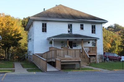
Gilmer County Poor Farm Infirmary
Gilmer County Poor Farm Infirmary, historic building in West Virginia, US
Locatie: West Virginia
Adres: Recreation Center Road
GPS-coördinaten: 38.95040,-80.82940
Laatste update: 9 maart 2025 om 14:05
Jackson's Mill
35.3 km
Burnsville Lake
22 km
Cedar Creek State Park
8.1 km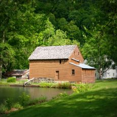
Jackson's Mill State 4-H Camp Historic District
35.2 km
Weston Colored School
33.1 km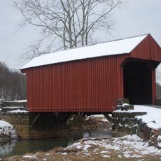
Walkersville Covered Bridge
33.5 km
Cunningham House and Outbuildings
29.1 km
Ritchie County Courthouse
34.7 km
Weston Downtown Historic District
32.7 km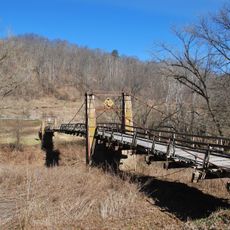
Duck Run Cable Suspension Bridge
4.4 km
Doddridge County Courthouse
38.6 km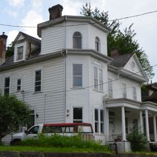
William Edgar Haymond House
33.5 km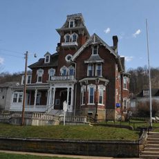
Jonathan M. Bennett House
32.9 km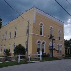
Silas P. Smith Opera House
38.5 km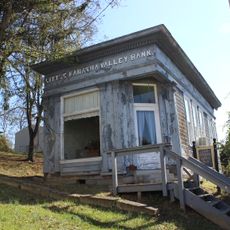
Little Kanawha Valley Bank
2 km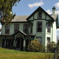
Weston Downtown Residential Historic District
33.3 km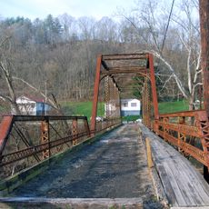
Burnsville Bridge
18.3 km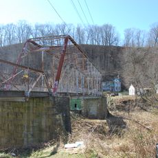
Glenville Truss Bridge
2.1 km
John E. Arbuckle House
1.8 km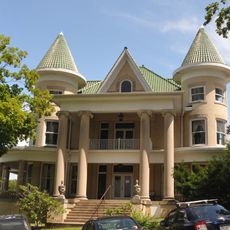
W. Scott Stuart House
38.5 km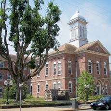
Sutton Downtown Historic District
33.6 km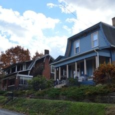
West Union Residential Historic District
38.4 km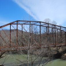
Stouts Mill Bridge
10.4 km
Harrisville Historic District (Harrisville, West Virginia)
34.8 km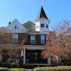
Whiting House
2.1 km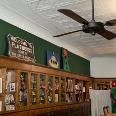
Flatwoods Monster Museum
33.5 km
Museum of American Glass in West Virginia
32.9 km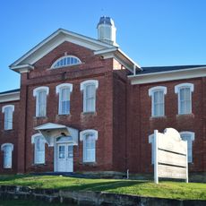
Harrisville Grade School
34.8 kmBeoordelingen
Heeft u deze plek bezocht? Tik op de sterren om een beoordeling te geven en uw ervaring of foto's te delen met de community! Probeer het nu! U kunt het op elk moment annuleren.
Ontdek verborgen schatten op elk avontuur!
Van karakteristieke kleine cafeetjes tot geheime uitzichtpunten – ontvlucht de drukte en vind plekken die echt bij jou passen. Onze app maakt het makkelijk: spraakzoekopdrachten, slimme filters, geoptimaliseerde routes en authentieke tips van reizigers wereldwijd. Download nu en beleef het avontuur op je smartphone!

Een nieuwe benadering van toeristische ontdekking❞
— Le Figaro
Alle plekken die de moeite waard zijn om te ontdekken❞
— France Info
Een uitstapje op maat in slechts een paar klikken❞
— 20 Minutes