
Westernhope Burn East Farmhouse, agricultural structure in Stanhope, County Durham, UK
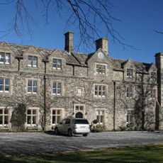
Horsley Hall
3 km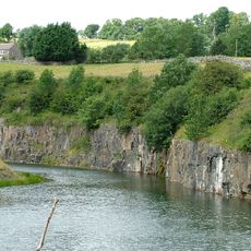
Greenfoot Quarry
4.9 km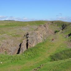
West Rigg Open Cutting
2.7 km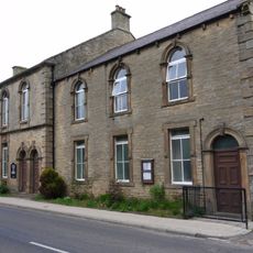
Westgate Methodist Chapel
3 km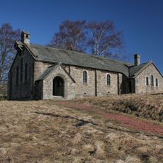
Church of St John the Evangelist
4.5 km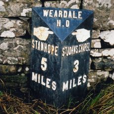
Milepost About 120 Metres East Of Park House Farmhouse
948 m
Former Inn
4.5 km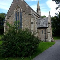
All Saints
2 km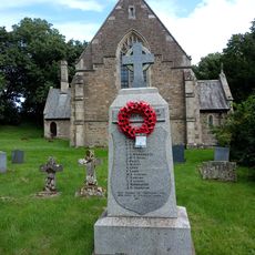
Eastgate War Memorial
2 km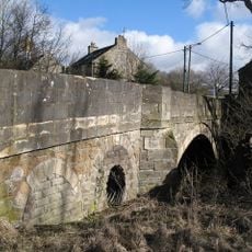
Bridge Over Rookhope Burn
1.9 km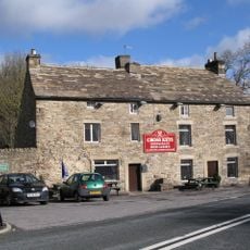
The Cross Keys Public House
1.9 km
High Crooked Well
3.4 km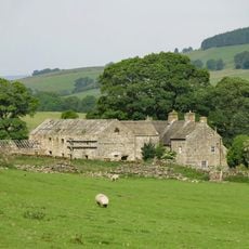
Ludwell Farmhouse
823 m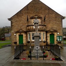
St John's Chapel, War Memorial
5 km
Barn Range South Of Ludwell Farmhouse
818 m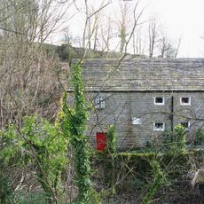
Eastgate Mill
2 km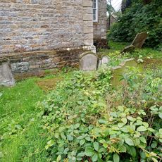
Hackword Tomb About 2 Metres East Of East End Of Church Of St John
5 km
Former House And Byre, With Loose Boxes, South Of Ludwell Farmhouse Barn
816 m
Scarsike Head Guide Post On North Side Of Road Junction One Metre West Of Wall
4.3 km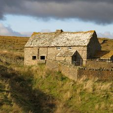
High Smailsburn Farmhouse
3.7 km
Haswick's Bridge Over River Wear
2.6 km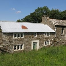
Former Farmhouse To West Of Snowhope Close Farmhouse
2.4 km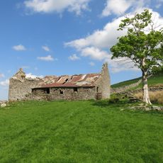
New Close Farmhouse With Stable, Byre And Lofts
3.1 km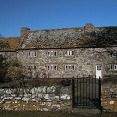
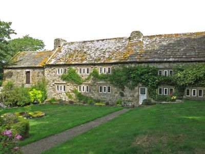
Westernhopeburn West Farmhouse and adjoining outbuilding
45 m
Emerson Tomb About 15 Metres East Of Church Of St John, Near South Wall Of Churchyard
5 km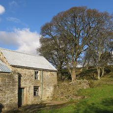
Farmhouse On North Bank Of Stotfield Burn, With Attached Outbuilding
4.6 km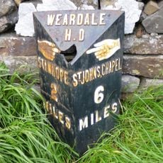
Hare Law
4 km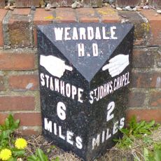
Westgate, Front Street nr jct with St Andrews Place, E end village
2.6 kmHeeft u deze plek bezocht? Tik op de sterren om een beoordeling te geven en uw ervaring of foto's te delen met de community! Probeer het nu! U kunt het op elk moment annuleren.
Ontdek verborgen schatten op elk avontuur!
Van karakteristieke kleine cafeetjes tot geheime uitzichtpunten – ontvlucht de drukte en vind plekken die echt bij jou passen. Onze app maakt het makkelijk: spraakzoekopdrachten, slimme filters, geoptimaliseerde routes en authentieke tips van reizigers wereldwijd. Download nu en beleef het avontuur op je smartphone!

Een nieuwe benadering van toeristische ontdekking❞
— Le Figaro
Alle plekken die de moeite waard zijn om te ontdekken❞
— France Info
Een uitstapje op maat in slechts een paar klikken❞
— 20 Minutes