
23-33, The Grove, building in Newcastle upon Tyne, Tyne and Wear, UK
Locatie: Newcastle upon Tyne
GPS-coördinaten: 55.00279,-1.61666
Laatste update: 27 april 2025 om 17:52
Town Moor
1.4 km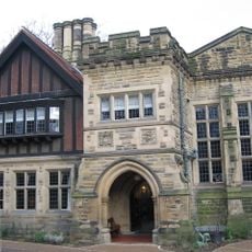
Jesmond Dene House
912 m
Partnership House
1 km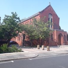
Holy Name parish, Jesmond
967 m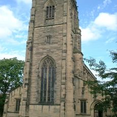
Church of All Saints
521 m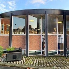
Jesmond Library
1.2 km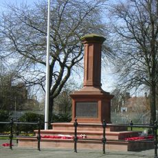
Gosforth Central Park
367 m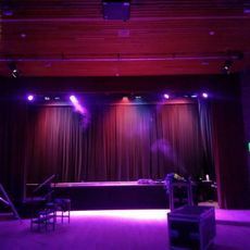
Gosforth Civic Theatre
896 m
Church of St George
1.2 km
Jesmond Church Of St Hilda
1.3 km
Church of St Nicholas
626 m
Roman Catholic Church of St Charles, Attached Presbytery and Boundary Wall to South and South West
531 m
Akhurst School (Jesmond Cottage) And Gas Lamp At Door
1.6 km
Sunday School Attached To Church Of St Hilda
1.3 km
St Mary's Chapel, Jesmond
1.7 km
The County Hotel
234 m
The Former Phillipson Memorial Orphanage At Princess Mary Maternity Hospital
1.7 km
Town Moor Boundary Stone Opposite Number 73
681 m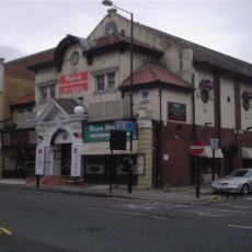
Globe Cinema
579 m
Gosforth War Memorial Pillar
317 m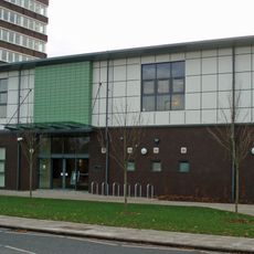
Gosforth Library
946 m
Jesmond Dene Mill
1.2 km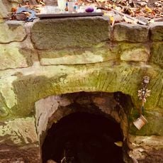
St Mary's Well
1.7 km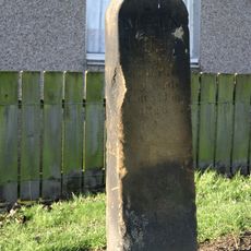
Main Dike Stone
752 m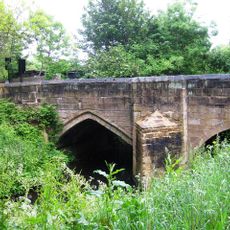
Salters' Bridge
1.2 km
Boundary Mark In Wall At Junction With South Side Of Moorfield
640 m
2, The Drive
313 m
Nuns Moor
1.7 kmHeeft u deze plek bezocht? Tik op de sterren om een beoordeling te geven en uw ervaring of foto's te delen met de community! Probeer het nu! U kunt het op elk moment annuleren.
Ontdek verborgen schatten op elk avontuur!
Van karakteristieke kleine cafeetjes tot geheime uitzichtpunten – ontvlucht de drukte en vind plekken die echt bij jou passen. Onze app maakt het makkelijk: spraakzoekopdrachten, slimme filters, geoptimaliseerde routes en authentieke tips van reizigers wereldwijd. Download nu en beleef het avontuur op je smartphone!

Een nieuwe benadering van toeristische ontdekking❞
— Le Figaro
Alle plekken die de moeite waard zijn om te ontdekken❞
— France Info
Een uitstapje op maat in slechts een paar klikken❞
— 20 Minutes