Burn House, And Burn House Cottage, cottage in Shotley Low Quarter, Northumberland, UK
Locatie: Shotley Low Quarter
GPS-coördinaten: 54.86849,-1.87005
Laatste update: 2 november 2025 om 09:34
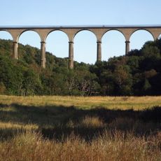
Hownsgill Viaduct
3.8 km
Vindomora
3.5 km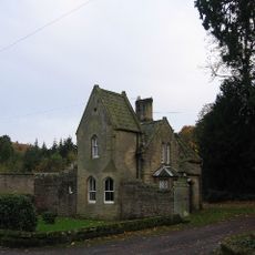
Shotley Hall
378 m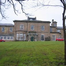
Shotley Park
1.2 km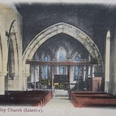
Church of St Mary Magdalene
3.9 km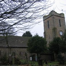
Church of St Ebba
3.4 km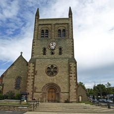
Christ Church, Consett
2.8 km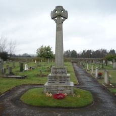
Shotley Low Quarter War Memorial
2.1 km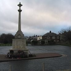
War Memorial at the Civic Centre
2.8 km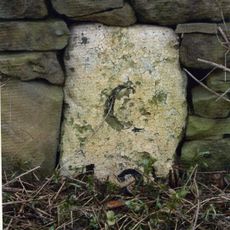
Milestone About 300 Metres South Of West Fines Wood
3 km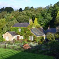
Allensford Mill Farmhouse And Adjacent Outbuildings
2.5 km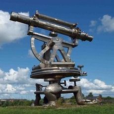
Terris Novalis
3.3 km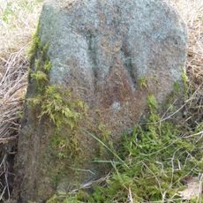
Boundary Stone About 500 Metres North East Of Shotley Spa
1.6 km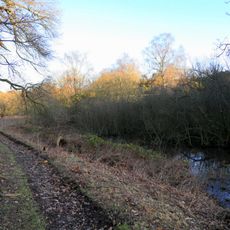
Former Lead Mine Reservoir About 100 Metres East Of Dean Howl Farm
4.2 km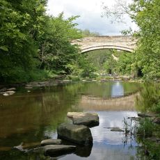
Shotley Bridge
648 m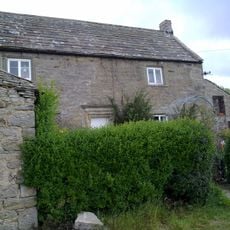
Crooked Oak Farmhouse
4.2 km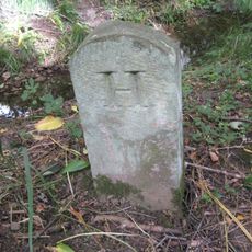
Boundary Stone At Ngr Nz 09705632, On West Side Of Mill Burn
3.9 km
Milestone About 200 Metres East Of Rowley Cottage
4.2 km
Former Lead Mine Circa 300 Metres North East Of Dene Howl Farm
4 km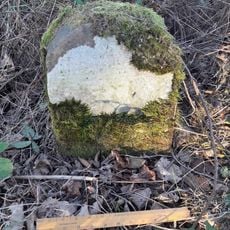
Milestone, Carterway Heads, Burnmill Bank, Fell Gate
2.9 km
Blackhill War Memorial
1.8 km
Ebchester War Memorial
3.4 km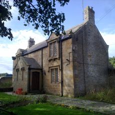
Forge Cottage
860 m
Terris Novalis
3.3 km
Terris Novalis
3.3 km
Steel Circle
2.2 km
Sculptuur, kunstwerk
4.2 km
Kunstwerk
2.3 kmHeeft u deze plek bezocht? Tik op de sterren om een beoordeling te geven en uw ervaring of foto's te delen met de community! Probeer het nu! U kunt het op elk moment annuleren.
Ontdek verborgen schatten op elk avontuur!
Van karakteristieke kleine cafeetjes tot geheime uitzichtpunten – ontvlucht de drukte en vind plekken die echt bij jou passen. Onze app maakt het makkelijk: spraakzoekopdrachten, slimme filters, geoptimaliseerde routes en authentieke tips van reizigers wereldwijd. Download nu en beleef het avontuur op je smartphone!

Een nieuwe benadering van toeristische ontdekking❞
— Le Figaro
Alle plekken die de moeite waard zijn om te ontdekken❞
— France Info
Een uitstapje op maat in slechts een paar klikken❞
— 20 Minutes