
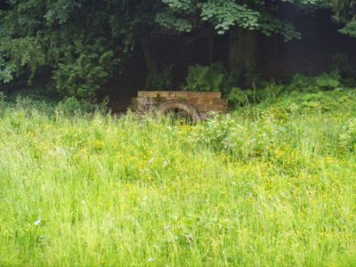
Robin Hood's Well, well in Lindrick with Studley Royal and Fountains, Harrogate, North Yorkshire, UK
Locatie: Lindrick with Studley Royal and Fountains
GPS-coördinaten: 54.10980,-1.57813
Laatste update: 24 april 2025 om 08:01
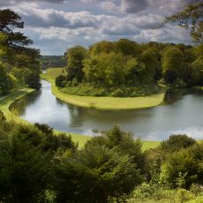
Studley Royal Park
701 m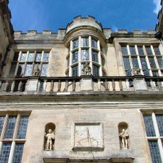
Fountains Hall
542 m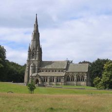
Saint Mary's Church
999 m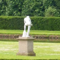
Statue on West Side of North Crescent Pond
673 m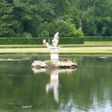
Statue of Neptune and Pedestal in Centre of Moon Pond
616 m
Studley Royal Park en Fountains Abbey-ruïnes
777 m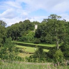
The Octagon Tower
783 m
Weir and reservoir below Tent Hill
523 m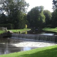
Canal Approximately 500 Metres Long, With The Drum Falls And Weir Inlet
708 m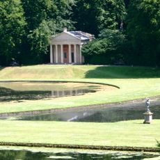
Temple Of Piety On East Side Of Moon Pond
640 m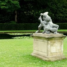
The Wrestlers
711 m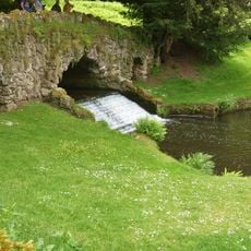
Rustic Bridge At South End Of The Canal, With Culvert And Arch To Reservoir
442 m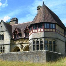
The Cottage Approximately 100 Metres North-east Of Church Of St Mary With Front Garden Wall And Gate
1.1 km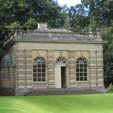
Banqueting House Approximately 100 Metres To West Of The Canal
617 m
The Obelisk Approximately 80 Metres West Of Church Of St Mary
984 m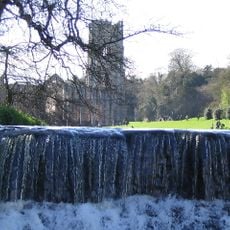
Weir At North End Of The Canal, With Piers, Fishing Pavilions And Balustrade
844 m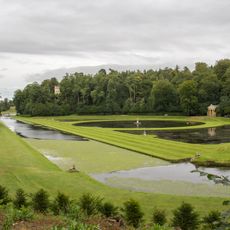
Moon and Crescent Ponds
681 m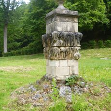
Quebec Monument
485 m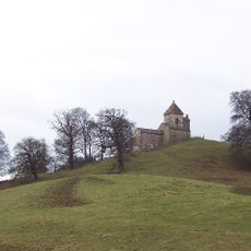
How Hill Tower
1.3 km
Tunnel Approximately 20 Metres West Of The Octagon, With Flanking Wall Attached To South
787 m
Abbey Mill
434 m
Weir On River Skell Approximately 120 Metres West Of The Reservoir
198 m
Weir On River Skell Approximately 10 Metres East Of The Infirmary At Fountains Abbey
51 m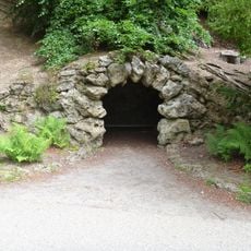
Grotto On North Side Of Reservoir
520 m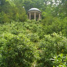
Temple Of Fame On Cliff Top At South Side Of Moon Pond
570 m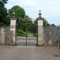
The Canal Gates And Flanking Walls On West Side Of The Lake
808 m
Stewards House, Now National Trust Restaurant And Shop
805 m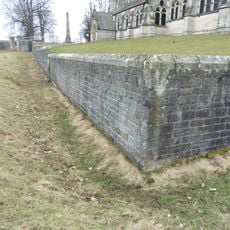
Boundary Wall With West And South Gates, Church Of St Mary
993 mHeeft u deze plek bezocht? Tik op de sterren om een beoordeling te geven en uw ervaring of foto's te delen met de community! Probeer het nu! U kunt het op elk moment annuleren.
Ontdek verborgen schatten op elk avontuur!
Van karakteristieke kleine cafeetjes tot geheime uitzichtpunten – ontvlucht de drukte en vind plekken die echt bij jou passen. Onze app maakt het makkelijk: spraakzoekopdrachten, slimme filters, geoptimaliseerde routes en authentieke tips van reizigers wereldwijd. Download nu en beleef het avontuur op je smartphone!

Een nieuwe benadering van toeristische ontdekking❞
— Le Figaro
Alle plekken die de moeite waard zijn om te ontdekken❞
— France Info
Een uitstapje op maat in slechts een paar klikken❞
— 20 Minutes