
Lodge and forecourt wall north of former Pulford Approach to Eaton Park
Lodge and forecourt wall north of former Pulford Approach to Eaton Park, Grade II listed building in Pulford, Cheshire West and Chester, Cheshire, CH4
Locatie: Poulton and Pulford
GPS-coördinaten: 53.12267,-2.93392
Laatste update: 3 maart 2025 om 11:09
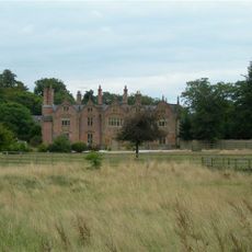
Trevalyn Hall
2.3 km
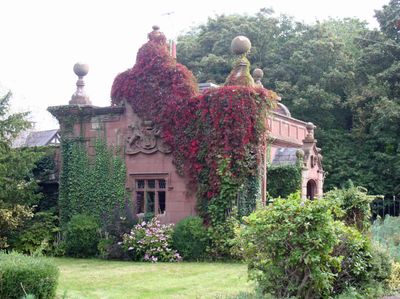
Pulford Castle
125 m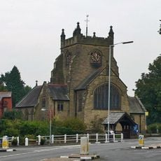
Christ Church, Rossett
1.9 km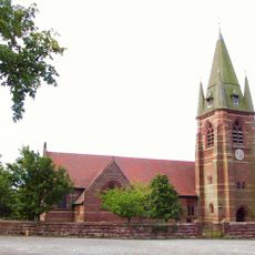
St Mary's Church, Pulford
66 m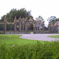
Golden Gates
4.2 km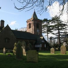
St Mary's Church, Dodleston
2.5 km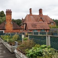
Belgrave Lodge
2.6 km
Dodleston Castle
2.5 km
Presbyterian Chapel, Rossett
2.1 km
Cook's Bridge
2.6 km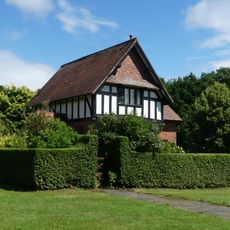
Upper Belgrave Lodge
3.6 km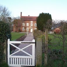
Green Farmhouse, Poulton
2 km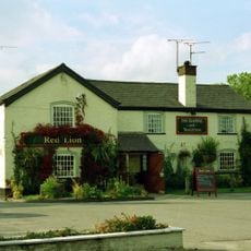
Red Lion Inn
2.7 km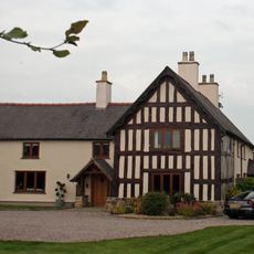
Trevalyn Farmhouse
1.6 km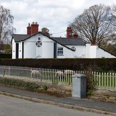
Meifod
2.5 km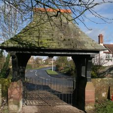
Lychgate canopy and wing walls, St Mary's Churchyard
2.6 km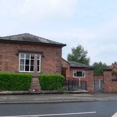
Pulford War Memorial
70 m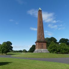
The Obelisk
3.9 km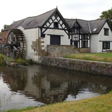
Rossett Mill
2.1 km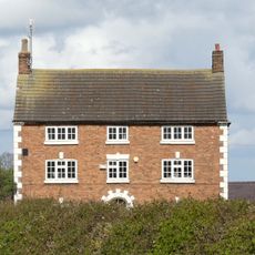
Dodleston Hall
3.1 km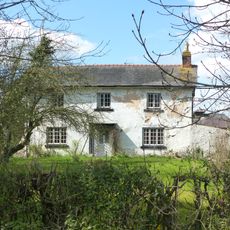
Allington Farmhouse
3.2 km
Allington Farm Gatehouse
3.2 km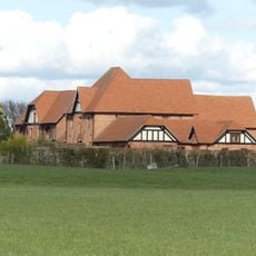
Farm buildings at Meadow House Farm
1.9 km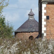
Dovecote at Dodleston Hall
3.1 km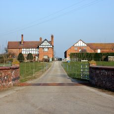
Dodleston Lane Farmhouse
1.8 km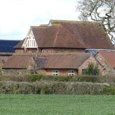
Former central farm building associated with Moor End Farm
4 km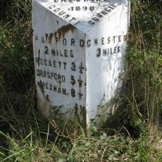
Milepost, SE of Belgrave Bridge, A483 roundabout
3.3 km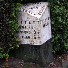
Milepost, Main Street, 20m N of jct with Old Lane
172 mHeeft u deze plek bezocht? Tik op de sterren om een beoordeling te geven en uw ervaring of foto's te delen met de community! Probeer het nu! U kunt het op elk moment annuleren.
Ontdek verborgen schatten op elk avontuur!
Van karakteristieke kleine cafeetjes tot geheime uitzichtpunten – ontvlucht de drukte en vind plekken die echt bij jou passen. Onze app maakt het makkelijk: spraakzoekopdrachten, slimme filters, geoptimaliseerde routes en authentieke tips van reizigers wereldwijd. Download nu en beleef het avontuur op je smartphone!

Een nieuwe benadering van toeristische ontdekking❞
— Le Figaro
Alle plekken die de moeite waard zijn om te ontdekken❞
— France Info
Een uitstapje op maat in slechts een paar klikken❞
— 20 Minutes