
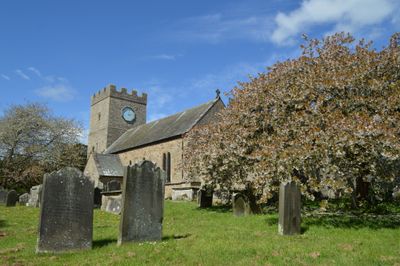
Church of St Cuthbert, kerkgebouw in Verenigd Koninkrijk
Locatie: Forcett and Carkin
GPS-coördinaten: 54.50523,-1.73040
Laatste update: 12 maart 2025 om 08:08
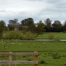
Forcett Hall
897 m
Stanwick Camp
1 km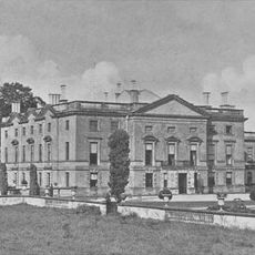
Stanwick Park
1.3 km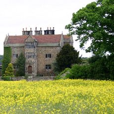
Gainford Hall
4.7 km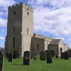
St John the Baptist's Church, Stanwick
994 m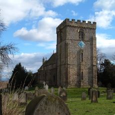
St James' Church, Melsonby
4.6 km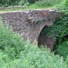
Chapel Bridge Over Black Beck
4.1 km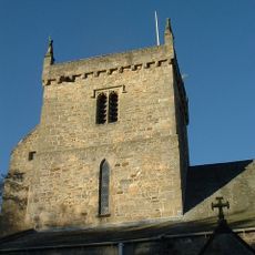
Church of St Mary
4.5 km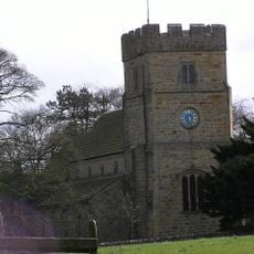
Church of All Saints
4.8 km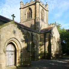
Christ Church
2.7 km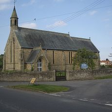
Church of St Paul
2.9 km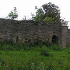
Ruins Of St Lawrence's Chapel
4.1 km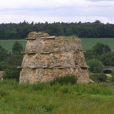
Dovecote 100 metres north of St Lawrence's Chapel
4.2 km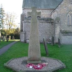
Gainford War Memorial
4.5 km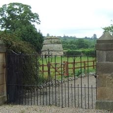
Dovecote,45 Metres South Of Gainford Hall
4.6 km
Piercebridge Bridge
4.8 km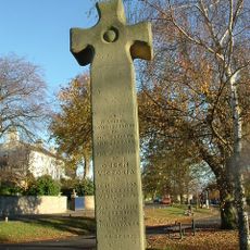
Village Cross
4.6 km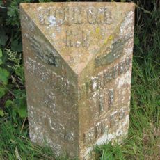
Milepost 400 Metres North Of Junction With Pudding Hill Road
4.1 km
Barforth Hall With Attached Outbuilding To North East
4.6 km
Round barrow 340m east of Cliffe Hall known as Betty Watson's Hill
4.6 km
Medieval Chapel Ruins On Roman Foundations In Rear Garden Of Bath House, Tees View
4.8 km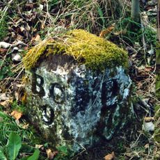
Milestone, 110 Metres South Of Greystone Hall
4.3 km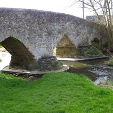
Aldbrough St John Packhorse Bridge
2.8 km
Milepost 400 Metres North Of Junction With Pudding Hill Road
4.1 km
Dovecote
254 m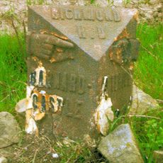
Milestone, NW of lane to Hartforth
4.2 km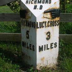
Milestone, S end of Melsonby village
4.8 km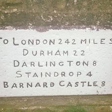
Milestone, village Main Road
4.5 kmBeoordelingen
Heeft u deze plek bezocht? Tik op de sterren om een beoordeling te geven en uw ervaring of foto's te delen met de community! Probeer het nu! U kunt het op elk moment annuleren.
Ontdek verborgen schatten op elk avontuur!
Van karakteristieke kleine cafeetjes tot geheime uitzichtpunten – ontvlucht de drukte en vind plekken die echt bij jou passen. Onze app maakt het makkelijk: spraakzoekopdrachten, slimme filters, geoptimaliseerde routes en authentieke tips van reizigers wereldwijd. Download nu en beleef het avontuur op je smartphone!

Een nieuwe benadering van toeristische ontdekking❞
— Le Figaro
Alle plekken die de moeite waard zijn om te ontdekken❞
— France Info
Een uitstapje op maat in slechts een paar klikken❞
— 20 Minutes