
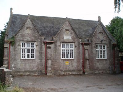
Sandfords Charity School, school building in Northwick, South Gloucestershire, England
Locatie: Pilning and Severn Beach
GPS-coördinaten: 51.57790,-2.63702
Laatste update: 3 maart 2025 om 03:35
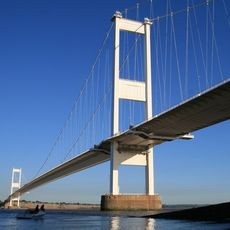
Severn Bridge
3.6 km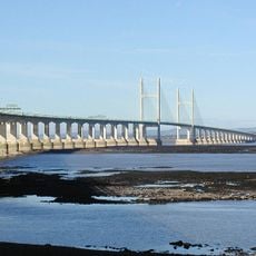
Second Severn Crossing
4.5 km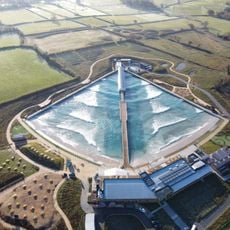
The Wave
4.5 km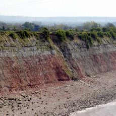
Aust Cliff
2.7 km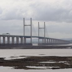
English Stones
3.7 km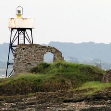
Chapel Rock Lighthouse
3.4 km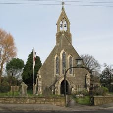
Church of St Peter
1.7 km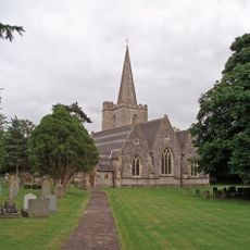
Church of St John
4.5 km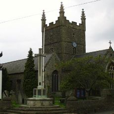
Church of St Mary
4.1 km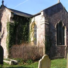
Church of St John
4.6 km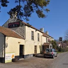
The Boar's Head
2.7 km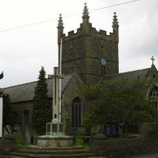
Olveston War Memorial With Associated Steps And Flanking Dwarf Walls
4.2 km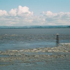
Lyde Rock lighthouse
4.1 km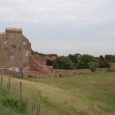
Severn Lodge Farmhouse
1.7 km
St John's Church
2.7 km
St Twrog's Chapel
3.5 km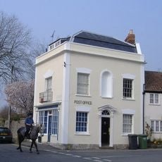
Post Office
4.2 km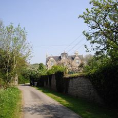
Old Manor
4.6 km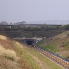
Severn Tunnel East Portal (bsw1101)
1.9 km
Overthrow, Lantern And Gate About 17 Metres West Of Church Of St Peter
1.7 km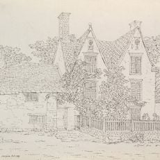
Northwick House Farmhouse With Attached Barn And Dairy Range
400 m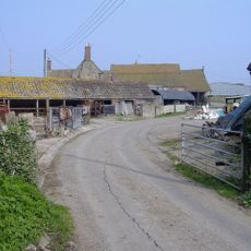
Cattybrook Farmhouse
4.1 km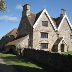
Rookery Farmhouse
2.6 km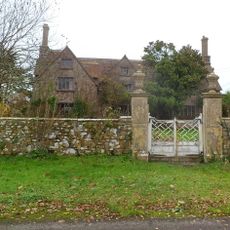
Pair Of Gate Piers And Attached Wall And Mounting Block About 18 Metres South Of Rock House
4.6 km
Beachcroft
4.1 km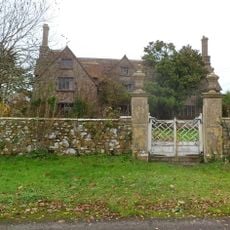
Rock House
4.6 km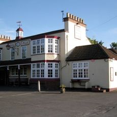
The Fox
4.5 km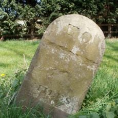
Milestone, New Leaze opposite house
4 kmHeeft u deze plek bezocht? Tik op de sterren om een beoordeling te geven en uw ervaring of foto's te delen met de community! Probeer het nu! U kunt het op elk moment annuleren.
Ontdek verborgen schatten op elk avontuur!
Van karakteristieke kleine cafeetjes tot geheime uitzichtpunten – ontvlucht de drukte en vind plekken die echt bij jou passen. Onze app maakt het makkelijk: spraakzoekopdrachten, slimme filters, geoptimaliseerde routes en authentieke tips van reizigers wereldwijd. Download nu en beleef het avontuur op je smartphone!

Een nieuwe benadering van toeristische ontdekking❞
— Le Figaro
Alle plekken die de moeite waard zijn om te ontdekken❞
— France Info
Een uitstapje op maat in slechts een paar klikken❞
— 20 Minutes